

Hiking Cadair Idris via Minffordd Path in Eryri

Climbing Cadair Idris is one of the best walks in South Eryri (Snowdonia) National Park. There are a few different ways up to this peak, with the most popular one being the Pony Path. We decided to walk up the Minffordd Path, which is the more challenging option thanks to it being steeper. If you don’t mind lots of steps, then you’ll also really enjoy this route.
In this blog post, we’ll detail everything you need to know about the Cadair Idris hiking trail via the Minffordd Path, including the trail length, level of difficulty, the best time to hike it, how to get to the trailhead and, of course, what to expect once you’re on the trail.
Disclosure: This post may contain affiliate links, which means we may receive a small commission if you click a link and purchase something. Clicking these links won’t cost you anything, but it will help us to keep this site up and running! Learn more about our affiliate policy.

About Cadair Idris
Cadair Idris is located at the southern end of Eryri (Snowdonia) National Park, near the town of Dolgellau. With a height of 893 m (2,930 ft), it just falls within the 20 highest peaks in Wales. There are a few routes you can choose from to summit Cadair Idris, all of which offer panoramic views (on a nice day) and different challenges.
Its name translates to “Chair of Idris” and it’s said to have been named after a giant called Idris. As you can imagine, there are countless legends connected to the summit and its surrounding lakes.
Cadair Idris is also part of the Trail 100, a subjective list published in Trail Magazine of the 100 must-climb hills in the UK.
Map of the Cadair Idris via Minffordd Path Hiking Trail
Quick Hiking Trail Statistics:
- Trailhead / Car Park: Dôl Idris Car Park
- Trail Length: 9.6 km / 6 miles (Circular)
- Elevation Gain: 890 m / 2,920 ft
- Highest Point: Cadair Idris (893 m / 2,930 ft)
- Level of Difficulty: Moderate to Hard (fitness level dependent)
Cadair Idris via Minffordd Path Hiking Route Statistics
Length of the Cadair Idris via Minffordd Path Route
The Cadair Idris via Minffordd Path hike is an approximately 6 mile (9.6 km) long circular route. This trail could take roughly 4.5 hours, depending on your speed going up the steep sections and how many breaks you take around the route. The scenery is breath-taking, so you’ll inevitably want to stop often to admire it.
In terms of timings, we started the walk around 8:15AM and took the steep section up to Cadair Idris via Mynydd Moel slowly, reaching the summit around 11:15AM. From there, it didn’t take long to get to Craig Cwm Amarch and descend back to the car park. We probably could’ve completed the route a bit quicker, but both the scenery and the pleasant weather conditions were too nice to rush. After all, we’re not always guaranteed lovely temperatures in North Wales! In the end, we completed the loop around 1:30PM.
Level of Difficulty of the Cadair Idris via Minffordd Path Route
Depending on your level of fitness / hiking experience and the weather conditions, we personally rate the Minffordd Path up to Cadair Idris as moderate to hard. If you’ve done other peaks in Eryri before, such as Yr Wyddfa (Snowdon), Tryfan or the Glyders, then you’ll find this trail more on the moderate side.
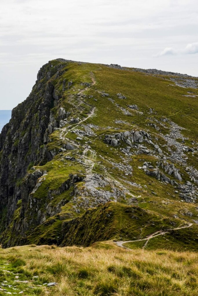
Whilst the length of the hike may not seem too bad, there’s still a total elevation gain of about 890 m / 2,920 ft. Whether you do the trail clockwise or anti-clockwise, getting up to Cadair Idris will be quite steep and involves a lot of steps. Although the path has flatter sections around the top, there are plenty of loose rocks around the summit where you may need to use your hands. Navigating through the scree can also be tricky, especially in poor weather conditions. The descent is also steep and slippery and can be quite hard on the knees. You’ll be exposed the majority of the time, so rainy, windy and even very sunny conditions can make the route more challenging.
Alternative Routes to Cadair Idris
The Minffordd Path isn’t the only way you can reach the top of Cadair Idris. Below are a few other alternatives:
Pony Path to Cadair Idris. This is a 9.5km (6 miles) out-and-back path up the northern face of Cadair Idris. You’ll start from Tŷ Nant car park and follow the path, with a total elevation gain of 700m (2,296 ft). It’s one of the most popular trails, so expect it to be a bit busier.
Fox’s Path to Cadair Idris. You’d also start from Tŷ Nant car park but instead of joining the Pony Path you would follow the road down to Llyn Gwernan, where the Fox’s Path starts. Out-and-back, this trail is around 9.7km (6 miles) long, with an elevation gain of 747m (2,451 ft). The trail past Llyn y Gader will be very steep and you’ll need to navigate scree.
Top Tip. You can also combine the Fox’s Path and the Pony Path for a circular hike.
Llanfihangel-y-Pennant Path. It’s a much longer (16km / 10 mile) and also quieter route up Cadair Idris. The trailhead and small car park is opposite St Michael’s Church. The route will eventually join up with the Pony Path, from where it gets much steeper before reaching the summit.
Cadair Idris via Gau Graig & Mynydd Gwerngraig. This trail option starts at the Mach loop car park, just off the A487. You’ll first summit Gau Graig before continuing towards Mynydd Gwerngraig and Mynydd Moel, summiting Cadair Idris last. This out-and-back route is 11.7km (7.2 miles) long with an elevation gain of 840m (2,756 ft).
Cadair Idris via Minffordd Path Route Description
Most people would complete the Minffordd Path up Cadair Idris in a clockwise direction. However, we did the route in an anti-clockwise direction, going up Mynydd Moel first before summiting Cadair Idris, then descending via Craig Cwm Amarch and Craig Lwyd.
There’s no right or wrong way. You’ll have steep ascents and descents in both directions, although you may have to descend slightly less scree going clockwise, especially with the new path up Mynydd Moel.
Section 1. Trailhead to Mynydd Moel
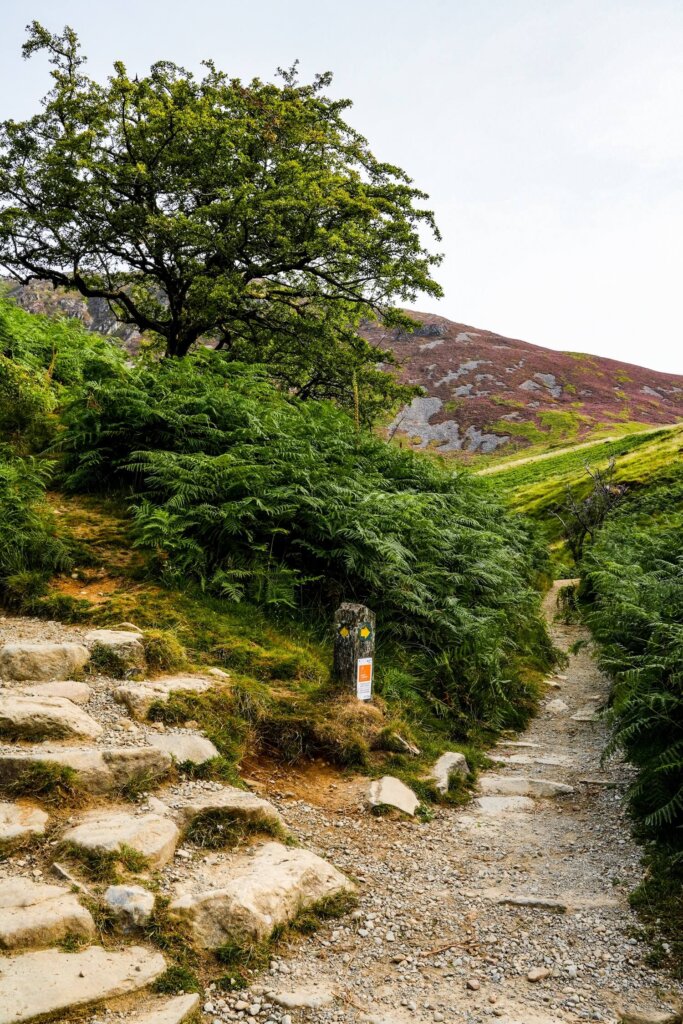
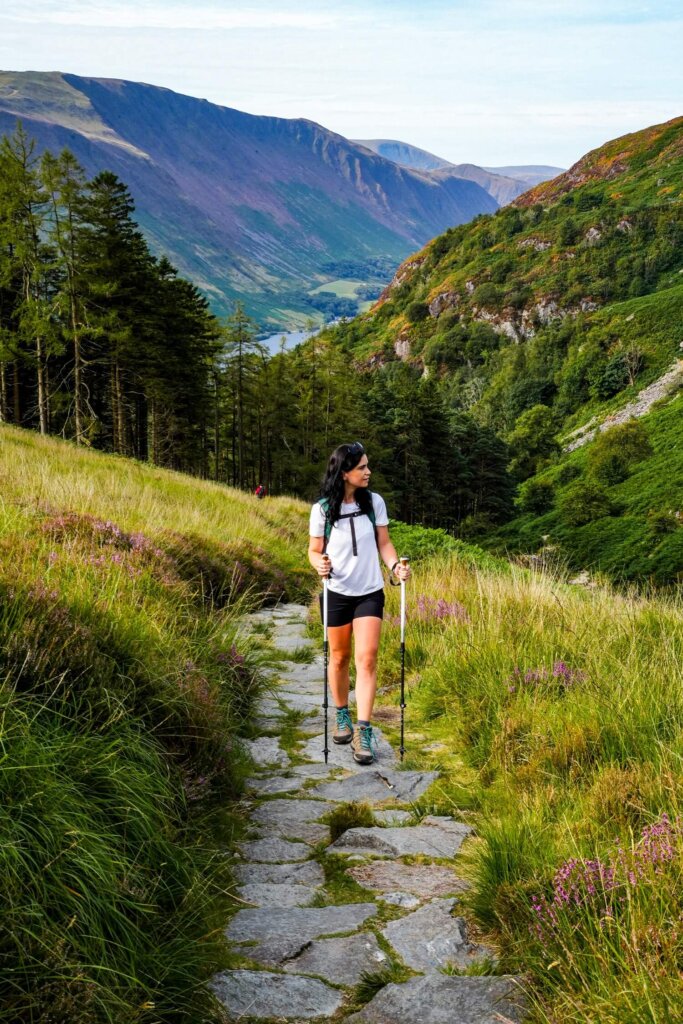
Setting off from Dôl Idris Car Park, follow the path and signs towards Cadair Idris. After passing the visitor centre, you’ll immediately start going up a set of steep steps through the woodland. The steps will get your heart rate going, so don’t forget to slow down and enjoy the lovely waterfalls cascading down the stream as you make your way through the gorge.
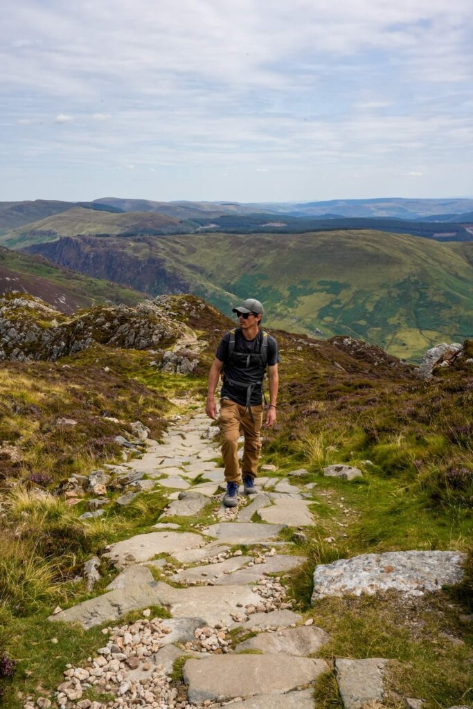
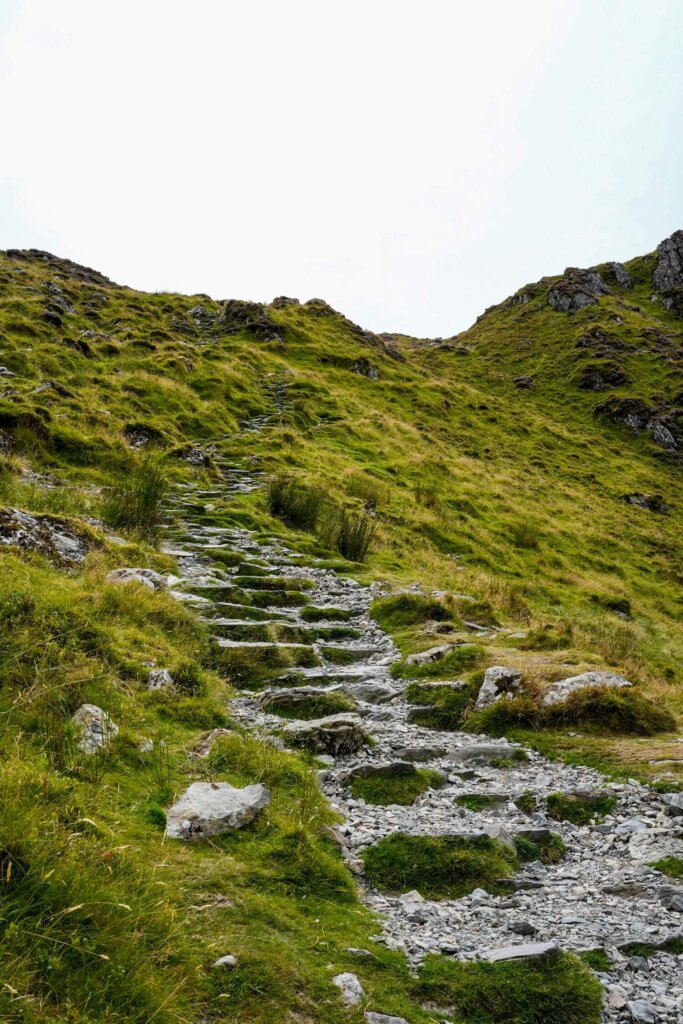
At the point where the treeline ends, there will be a fork in the path. Here, you can carry on left, which will lead you up to Craig Cwm Amarch first. We decided to go right, crossing the slate bridge across the stream. The path was easy to follow, initially being quite gradual until passing the first stile. After that it’ll get steeper, gaining around 425m of elevation in about 1.5km. This section has now been updated with steps, so it’s less slippery than the previous scree was, but it still took us a good while to make it up to Mynydd Moel.
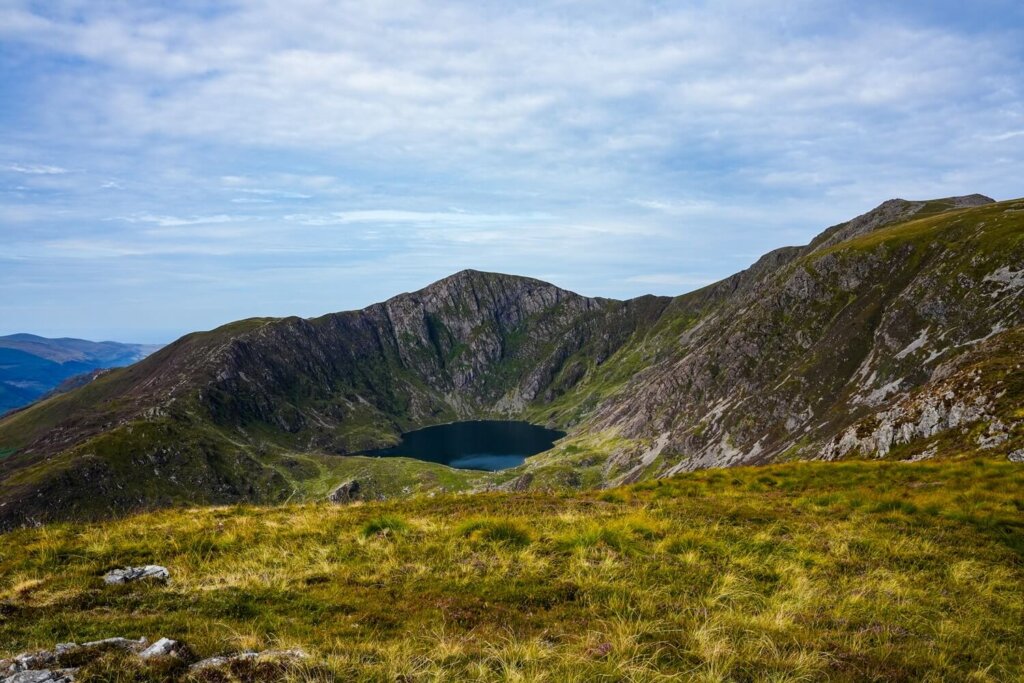
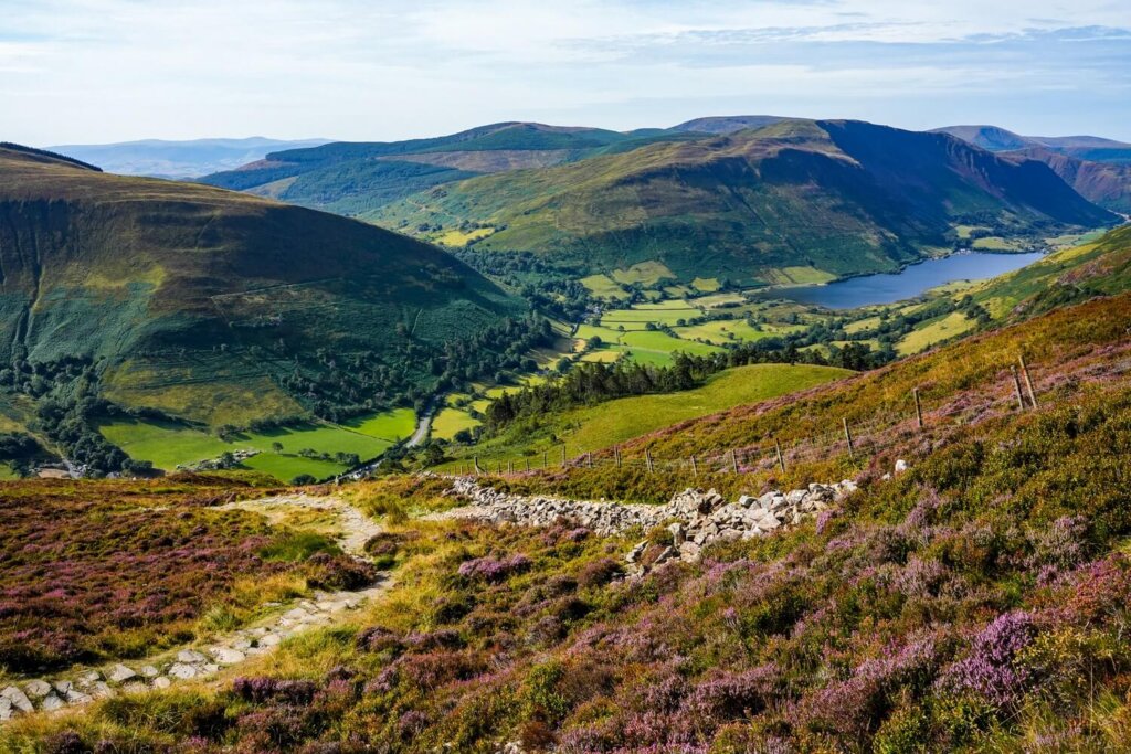
Luckily, the views were absolutely stunning, especially once we gained enough height to see Llyn Cau surrounded by the peaks. The heather was also coming out, so we had no trouble taking beautiful landscape photos.
Overall, this first section up to Mynydd Moel is approximately 3km long but you’ll gain around 725m of elevation.

Section 2. Mynydd Moel to Cadair Idris
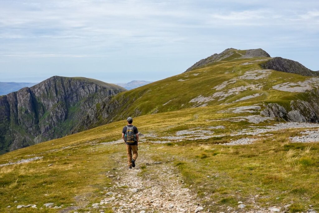
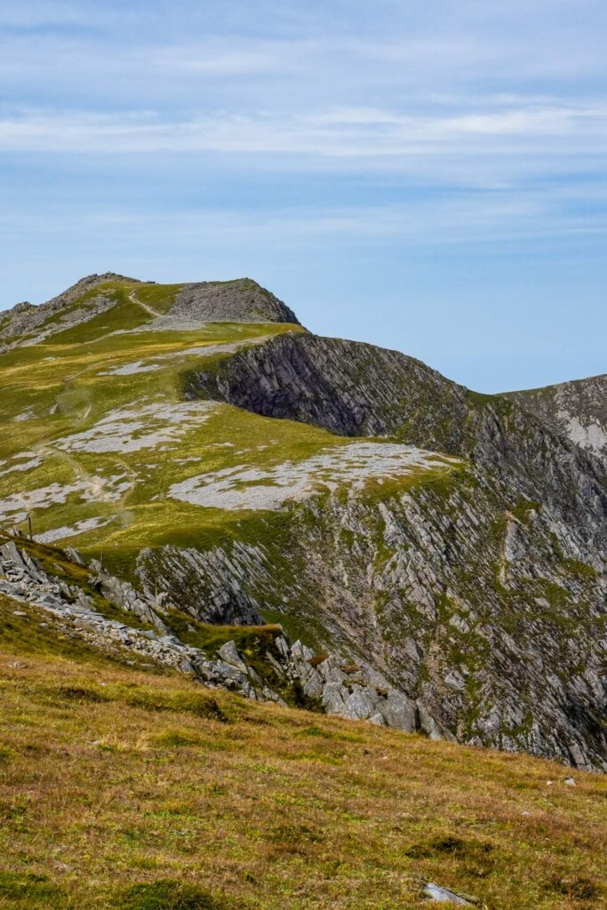
Whilst you can cut the corner and skip reaching Mynydd Moel, we think it would be a shame since it’s not too much extra effort. Plus, the views of Cadair Idris from this vantage point were probably our favourite, as Craig Cwm Amarch generally looked way more impressive from a distance. (It’s also so easy to think that Craig Cwm Amarch is Cadair Idris when looking at the peaks from the lake.)
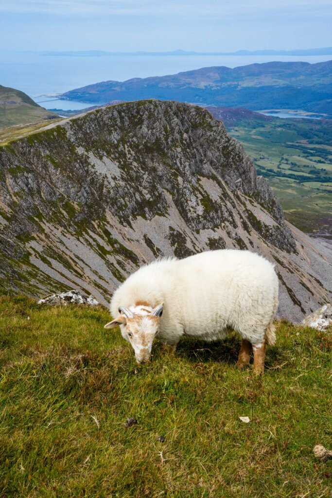
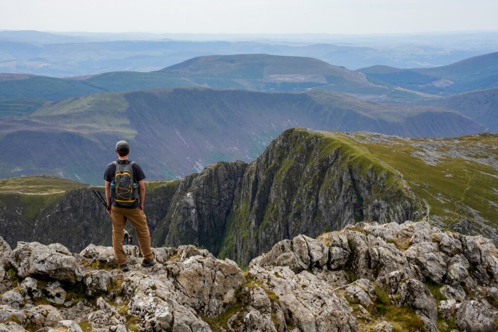
This section between Mynydd Moel and Cadair Idris is only 1.8km with an elevation gain of 87m, so it’s the flattest section of the entire route. It didn’t take too long to reach the summit of Cadair Idris, marked with a trig so you cannot miss it. There’s also a small stone covered shelter there that reminded us of the one on top of Ben Nevis. We found a quiet spot looking out to Cyfrwy peak to the left and Llyn y Gader below us to have our lunch. That is until a couple of curious sheep decided that they also preferred to hang out at that exact spot. (Can’t blame them though!)

Section 3. Cadair Idris to Craig Cwm Amarch and Trailhead
If you’re also doing the trail in an anti-clockwise direction, then from the summit you’ll have to stay on the left path. People will be arriving or heading to the right, which is the Pony Path, so keep left.
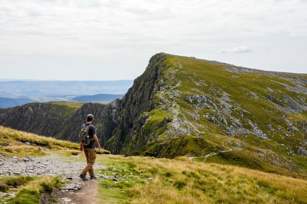
There’s a short but steep descent, which can be quite slippery due to loose rocks. This is then followed by a short but steep ascent up to Craig Cwm Amarch. The views from here will be lovely, but avoid going too close to the edge as it’s a sheer drop.
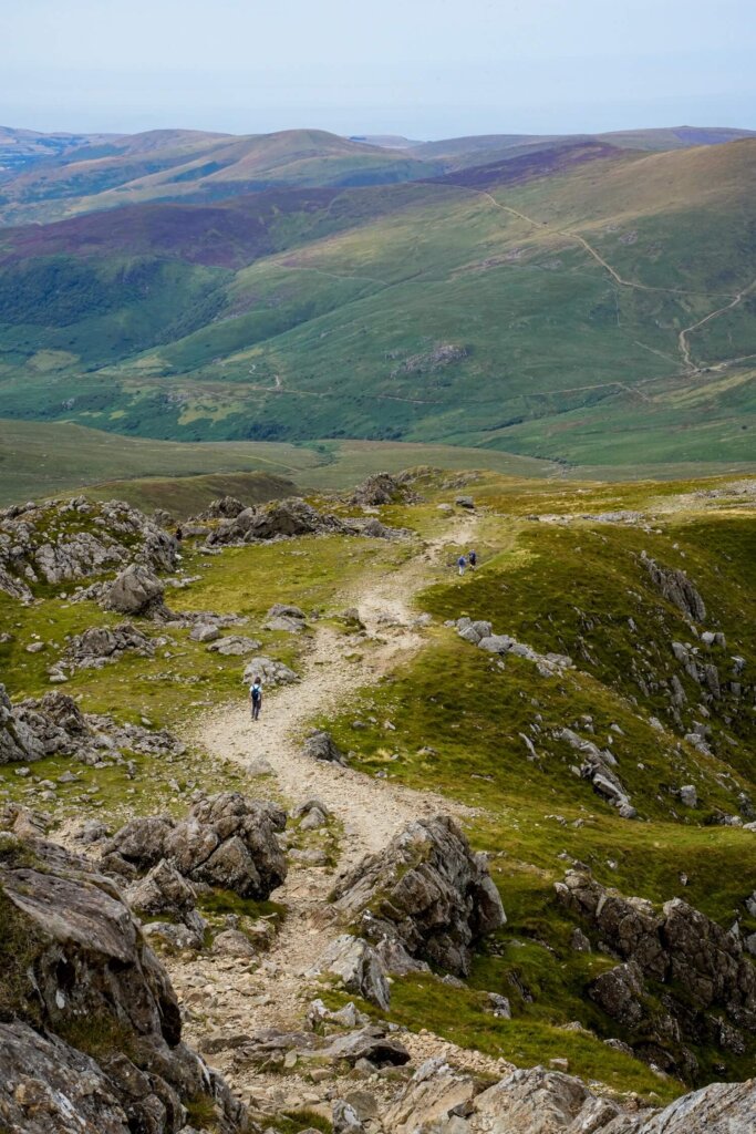
From Craig Cwm Amarch you’ll be descending all the way back down to the car park. The path is a mix of steps and loose rocks, so take your time. If you feel like it, you can also do a short de-tour out to the shore of Llyn Cau to appreciate the peaks from that angle. Otherwise, just follow the footpath around the valley until you reach the fork where you went right at the start. The rest is just following the same steps through the woodland back to the car.
This last section from Cadair Idris back to the car park will be 4.6km long. You’ll have a minimal elevation gain of 78m between the peaks, but overall you’ll be descending about 830m. This can be quite tough on your knees, so we recommend using hiking poles.

Practical Information About the Cadair Idris via Minffordd Path Hiking Trail
How to Get to the Trailhead
By Car. The Minffordd Path up Cadair Idris starts at Dôl Idris Car Park, just off the A487, in south Eryri (Snowdonia). The car park is quite spacious, although we suggest getting there earlier to secure a spot. Parking is £4 for up to 4 hours or £8 for all day and the machine only accepts card.
Dôl Idris Car Park has toilets and some information boards about Cadair Idris.
By Bus. You can get to the trailhead by bus too, depending on where you’re coming from. The T2 bus service, which runs between Aberystwyth and Bangor, will stop at Minffordd Hotel along the route.
Best Time to Hike Cadair Idris
We personally recommend planning your hike between the end of spring and start of autumn. You’ll be in North Wales, where the weather conditions can change quickly. Ideally aim to do this hike on a relatively clear day, as missing out on the views would be a shame. You’ll also want a dry day because there will be no shelter from the elements. If you have a lot of hiking and navigating experience, it’s perfectly doable in less than ideal weather conditions. Nevertheless, low visibility, rain, wind, as well as high temperatures, can make this walk more dangerous.
Our best advice is to check either the Met Office or the Mountain Weather Information Centre (MWIS) on the morning of your planned hike.
Cadair Idris won’t be as busy as Yr Wyddfa (Snowdon) or the Ogwen Valley. However, it’s still a beautiful hike, so expect to see more fellow hikers and trail runners on the trail on a sunny day and/or on weekends and holidays.

What to Wear and Bring with You
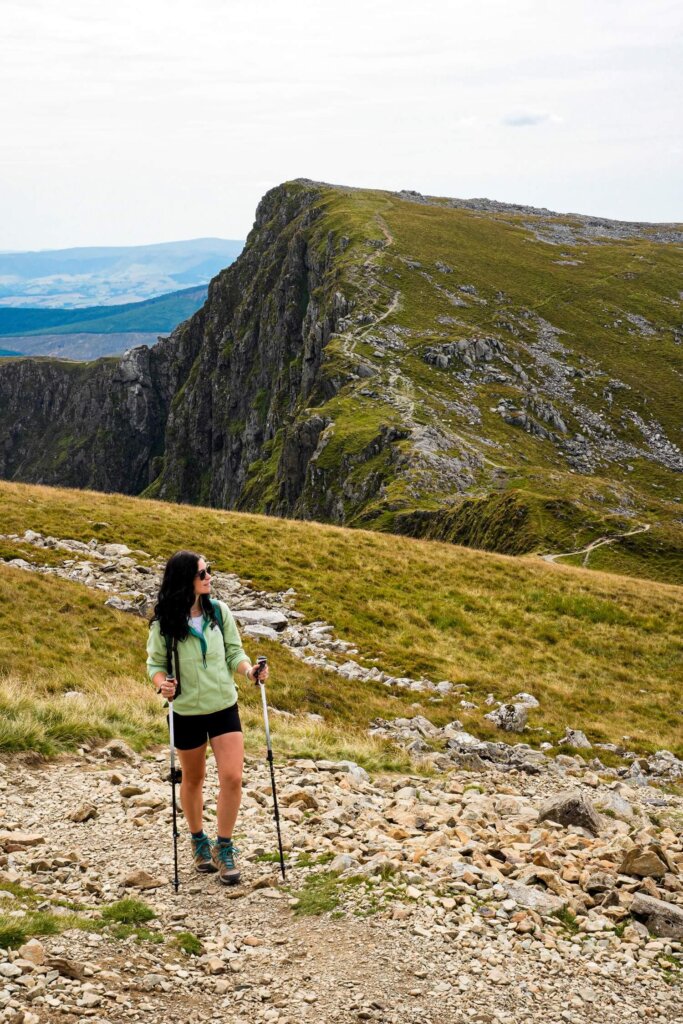
Normally North Wales is rather wet and conditions can change quickly the higher up you go. Therefore, wear weather appropriate clothing when attempting this trail. You’ll be exposed the whole time, so make sure you check the weather forecast before you set off and have a few waterproof and warm layers with you. You might feel a bit cooler along the top but warmer lower down, or whilst your descending or ascending. If it’s a sunny day, don’t forget to bring enough sun protection.
Many accidents happen due to people not wearing proper walking/hiking shoes or boots. Therefore, we can’t emphasize enough that you should wear hiking appropriate footwear, whether that’s trail runners or boots.
Due to the steep ascent and descent, we also suggest using hiking poles. Your knees will thank you later!
Pack your own lunch and snacks and have plenty of water and hot drinks with you, depending on the weather. During your ascent you’ll be sweating a lot more, so you’ll want to keep hydrated and have enough energy to carry on.
Please Note! Whatever you bring with you, make sure you either take it home or dispose of it responsibly. We suggest bringing a bin bag with you which you can collect all your waste in. Enjoy your time in nature but Leave No Trace!
Final Thoughts on Hiking Cadair Idris in Eryri
We really enjoyed this trail for multiple reasons. First of all, it was way quieter than some of the most popular hikes. We definitely didn’t have to queue to reach the top like we did at Yr Wyddfa (Snowdon), even on a Sunday during the summer holidays! The route itself was challenging enough but we also didn’t feel too exhausted afterwards, so didn’t need a few days to recover like we did after Beinn Sgritheall Munro in the Scottish Highlands.
Have you ever hiked Cadair Idris in Eryri before? If so, how was your experience? If not, would you add this walk to your North Wales hiking wish list? Let us know in the comments below. Lastly, if you found this blog post useful and want to show your support, you can buy us a coffee here.
Now, let your adventure begin,

Remember…It all starts with a Pin…


This looks like such a lovely hike!
The landscapes are incredible!!! I would love to do this hike one day 😍