
A Guide to Hiking Elidir Fawr – Best Hike in Eryri?

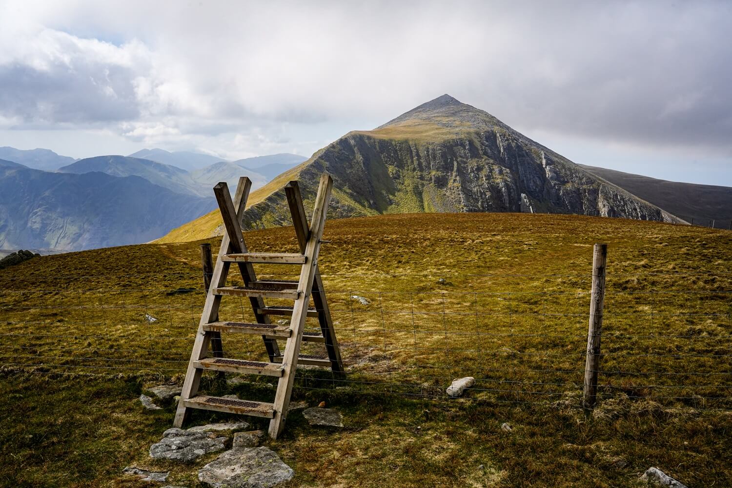
If you’re looking for a quieter hike in Eryri (Snowdonia) with some of the most incredible views in the national park, then you should consider Elidir Fawr for your next summit in North Wales. This roughly 10km/6 mile circular route will take you up to Elidir Fach, Elidir Fawr, Mynydd Perfedd and Carnedd Y Filiast. Along the way, you’ll be treated to unimpeded views of the Snowdon Massif and the Ogwen Valley.
In this blog post, we’ll detail everything you need to know about the Elidir Fawr hiking trail including the trail length, level of difficulty, the best time to hike it, how to get to the trailhead and, of course, what to expect once you’re on the trail.
Disclosure: This post may contain affiliate links, which means we may receive a small commission if you click a link and purchase something. Clicking these links won’t cost you anything, but it will help us to keep this site up and running! Learn more about our affiliate policy.
About Elidir Fawr
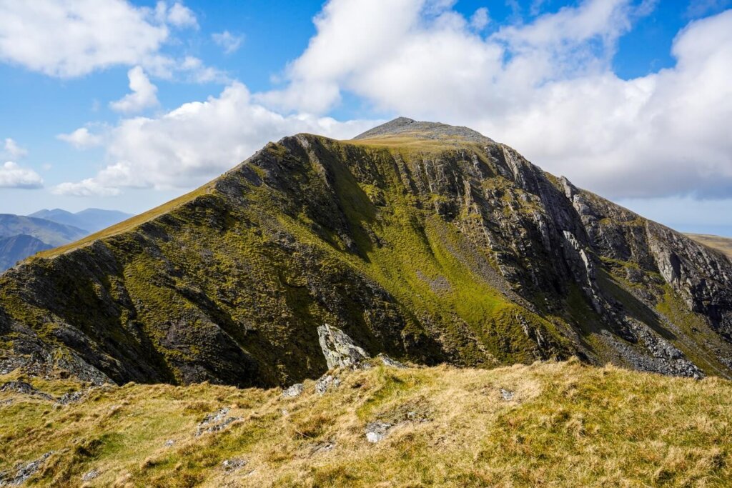
Elidir Fawr is the northernmost peak in the Glyderau (or, the Glyders) mountain range in Eryri (Snowdonia) National Park. Sitting at 924 m / 3,031 ft above sea level, it’s one of the Welsh 3000’s, which means it’s one of the 15 mountains in Wales that are over 3,000 ft (914.4 m) high. There’s a popular challenge called the Welsh 3000’s Challenge, where you have to climb all 15 peaks in 24 hours.
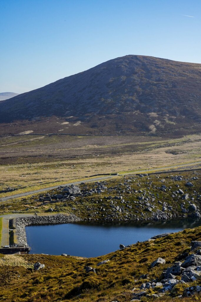
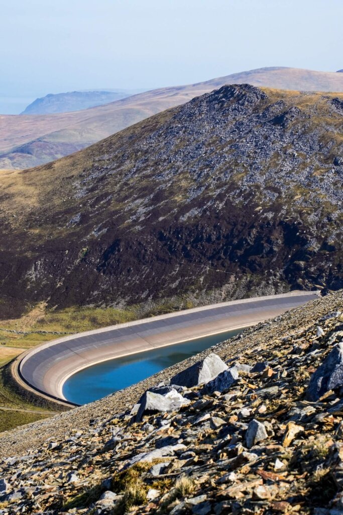
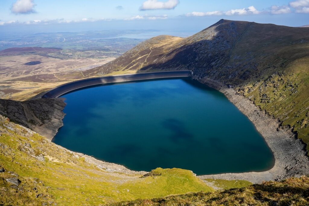
Elidir Fawr is located to the north of Marchlyn Mawr Reservoir. This reservoir feeds the Dinorwig Hydro-Electric Power Station, which is built inside the mountain. To the west of the summit lies a subsidiary peak, Elidir Fach (795 m / 2,608 ft). To the east and northeast there are two more peaks: Mynydd Perfedd (812 m / 2,664 ft) and Carnedd y Filiast (821 m / 2,694 ft).
Map of the Elidir Fawr Hiking Trail
Quick Hiking Trail Statistics:
- Trailhead / Car Park: Access road to Marchlyn Mawr Reservoir (here on Google Maps)
- Trail Length: 9.6 km / 6 miles (Circular)
- Elevation Gain: 700 m / 2,296 ft
- Highest Point: Elidir Fawr (923 m / 3,028 ft)
- Level of Difficulty: Moderate to Hard (fitness level dependent)
Elidir Fawr Hiking Route Statistics
Length of the Elidir Fawr Hiking Route
The Elidir Fach, Elidir Fawr, Mynydd Perfedd and Carnedd Y Filiast hike is an approximately 6 mile (9.6 km) long circular route. This route could take around 4.5 hours, depending on your speed going up the steep sections and how many breaks you take around the route. The scenery is breath-taking, so you’ll inevitably want to stop often to admire it.
In terms of timings, we started the trail around 9:15AM and took the steep section up to Elidir Fach slowly. We got to the top of Elidir Fach around 10:15AM, then were on top of Elidir Fawr around 11AM. We also just tried to enjoy the scenery and the sunny and windless conditions, which we don’t always get in North Wales! In the end, we completed the walk around 2PM.
Level of Difficulty of the Elidir Fawr Hike
Depending on your level of fitness / hiking experience and the weather conditions, we personally rate this particular route to Elidir Fawr as moderate to hard. If you’ve done any of the nearby peaks, such as Yr Wyddfa (Snowdon) via Crib Goch, Tryfan via North Ridge or the Glyders via Bristly Ridge, then you’ll find this trail more on the moderate side.
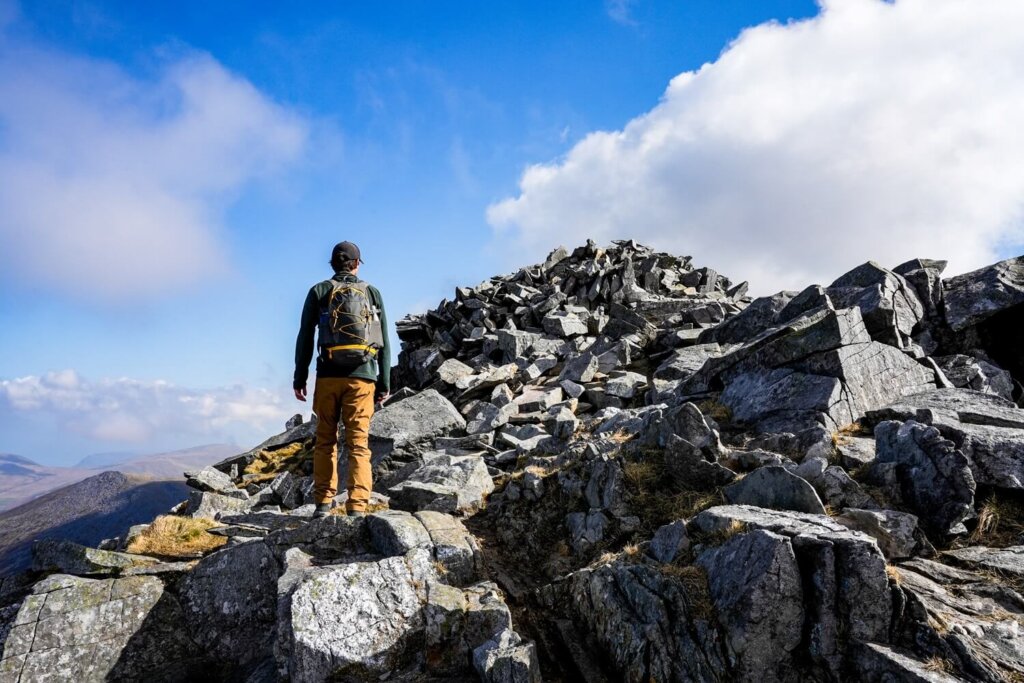
Whilst the length of the hike may not seem too bad, there’s still a total elevation gain of about 700 m / 2,296 ft. Whether you do the trail clockwise or anti-clockwise, getting up to Elidir Fawr will be quite steep in places. Although the path has flatter sections, Elidir Fawr has plenty of loose rocks around the summit where you may need to use your hands here or there. Navigating through the scree can also be tricky, especially in poor weather conditions. The descent is also steep and slippery and can be quite hard on the knees. You’ll be exposed the whole time, so rainy, windy and even very sunny conditions can make the route more challenging.
Elidir Fawr Walking Route Description
We did this route anti-clockwise since we didn’t want to walk along the access road for too long at the start of the hike. After completing the whole circle and walking back along the access road, we still preferred doing this hike anti-clockwise. However, you can also do it in the clockwise direction if you like.
Section 1. Trailhead to Elidir Fach
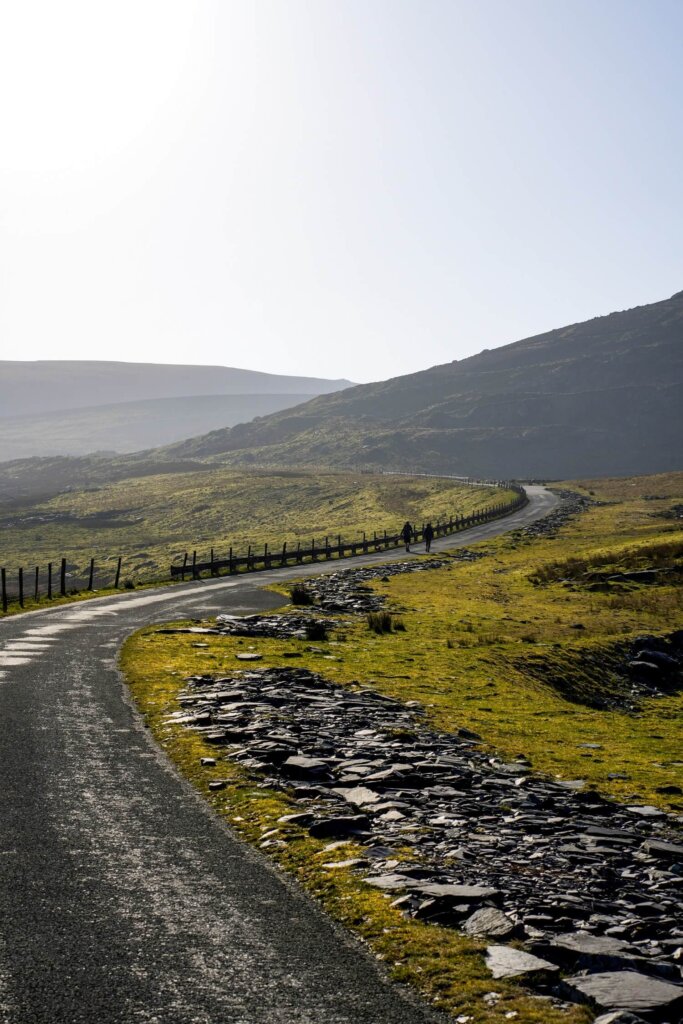
This first section from the trailhead to Elidir Fach was about 2.7 km (1.7 miles). After parking our car on the access road to Marchlyn Mawr Reservoir (here on Google Maps), we just followed the road through the gate. In about 1 km we reached Marchlyn Bach. If you want to do the route clockwise, carry on along the reservoir access road. Since we wanted to head up to Elidir Fach first, we went through a gate on our right that led into the small reservoir area and headed straight up along the fence following the path.
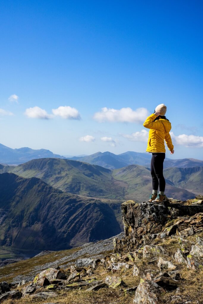
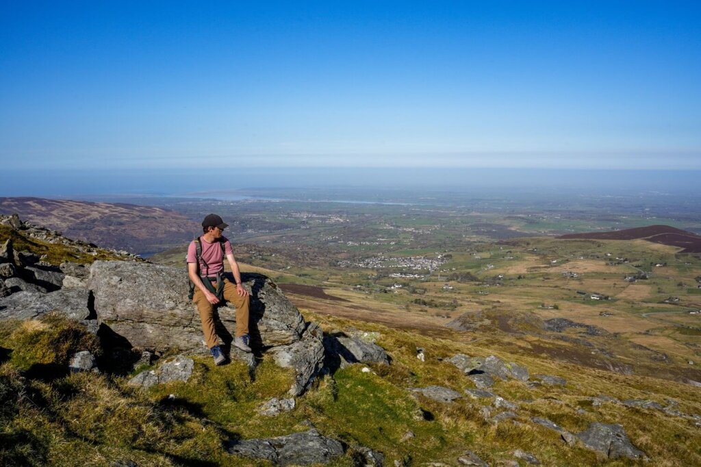
The ascent was initially pretty steep, before flattening out as we neared the summit of Elidir Fach. In total, we gained about 445 m (1,460 ft) of elevation. We took it slow and stopped regularly to look back and enjoy our surroundings. It was totally worth the effort, as from the top of Elidir Fach we could enjoy our first overview of the Snowdon Massif in the distance.
Section 2. Elidir Fach to Elidir Fawr
After taking in the incredible views, we carried on towards Elidir Fawr, the highest point along this particular hiking route. We saw two routes leading up, both looking equally steep, so just pick whichever one you like. This next section was short, only about 1 km (0.6 miles) long, with an elevation gain of about 140 m (460 ft).
At the start of the ascent, we could still see the edge of the Snowdon Massif to our right, with the Marchlyn Mawr Reservoir starting to come into view on our left. Whilst this section was steep, it wasn’t as intense as the first uphill bit to Elidir Fach. However, there were more loose rocks, so make sure to watch your step because it was easy to slip. (This is especially true if you’re doing the route clockwise and descending this section).
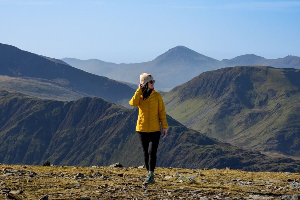
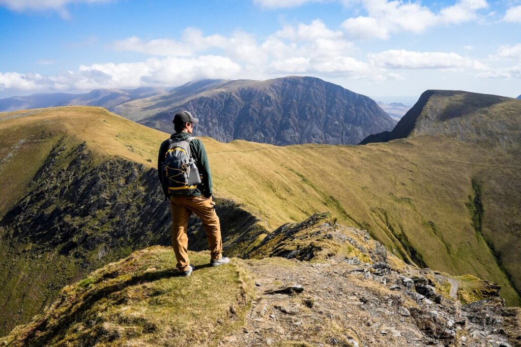
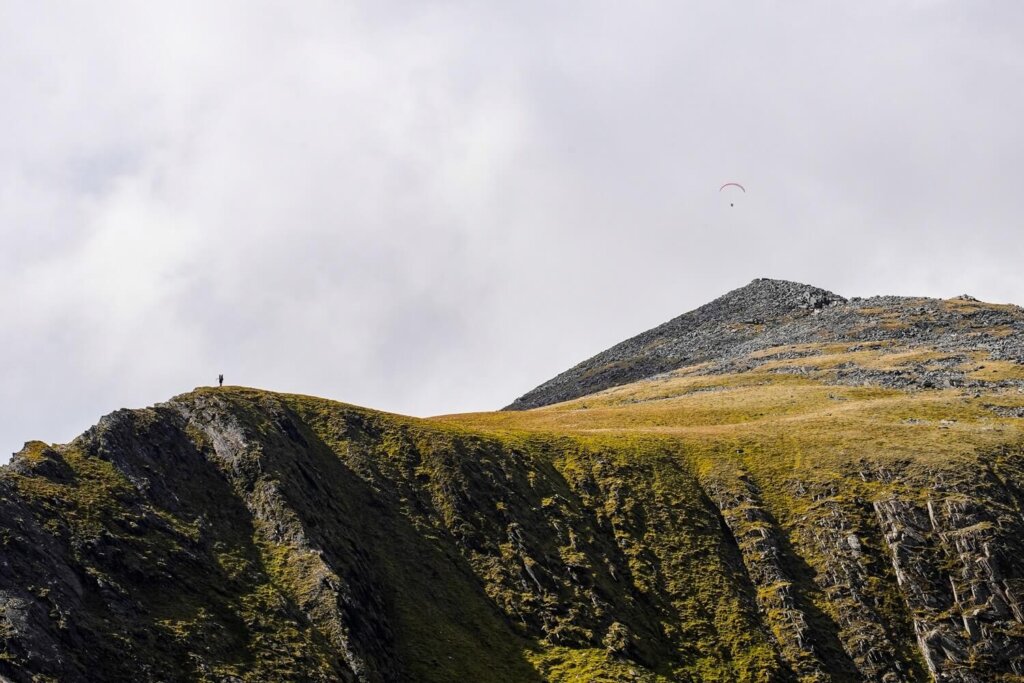
Upon reaching the summit of Elidir Fawr, we saw the Snowdon Massif coming back into view on our right. However, from this vantage point we could also see Y Garn and Tryfan, two other Welsh 3000’s. If the conditions are nice, we suggest taking a well-deserved break here to admire the views.
Section 3. Elidir Fawr to Mynydd Perfedd
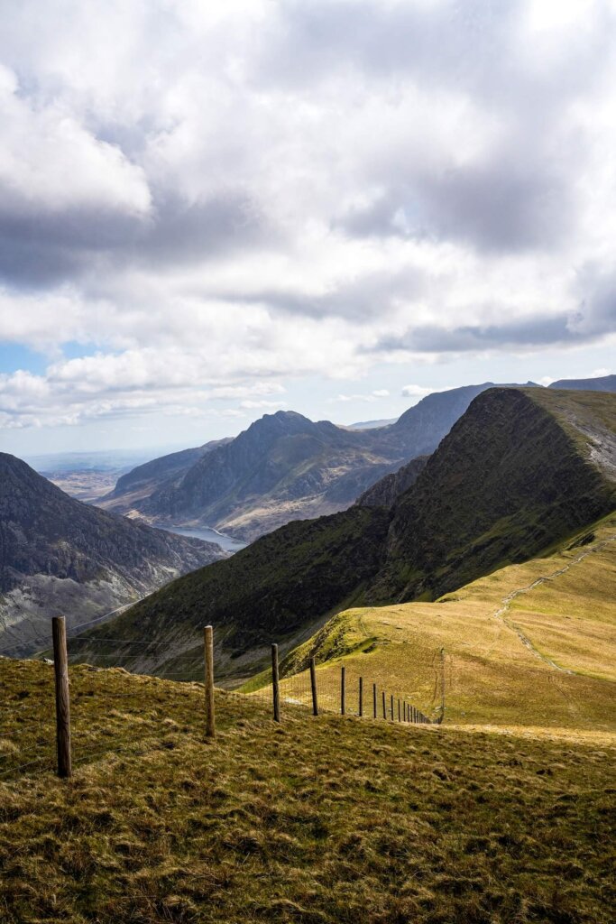
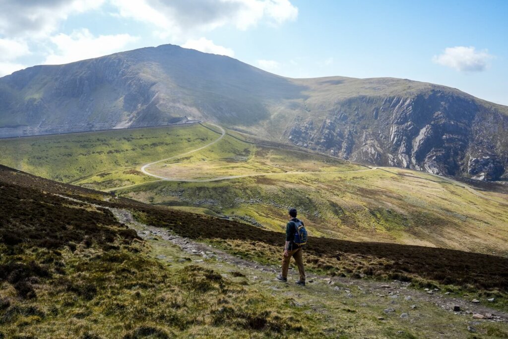
Once we were ready to carry on, we followed the path towards the next peak, Mynydd Perfedd, located about 1.5 km (1 mile) from Elidir Fawr. This section was incredibly picturesque too, with Marchlyn Mawr Reservoir on our left, Y Garn and Tryfan on our right and the Carneddau in front of us in the distance.
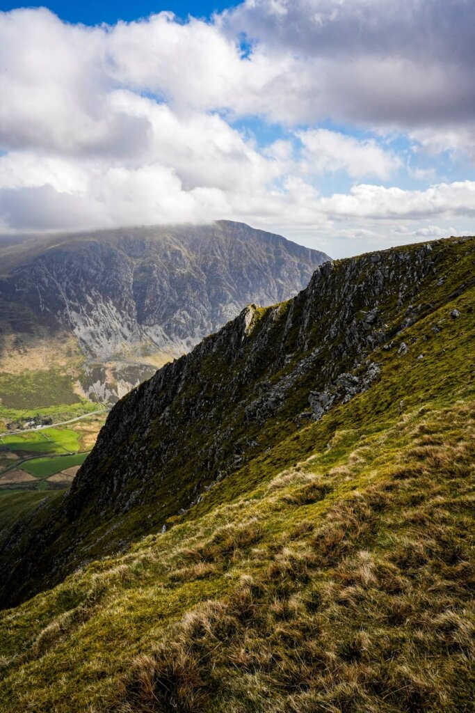
You’ll start by having to navigate down through the rocks of Bwlch Marchlyn. Take it easy, as many of the slabs move and it’s so easy to have a little misstep. Stay on the higher path too, as the lower one takes you over to Y Garn. Don’t forget to also look back and admire the iconic view of Elidir Fawr.
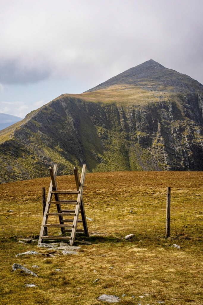
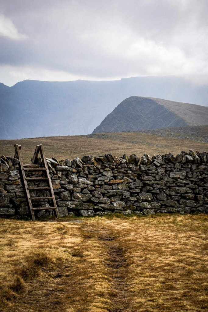
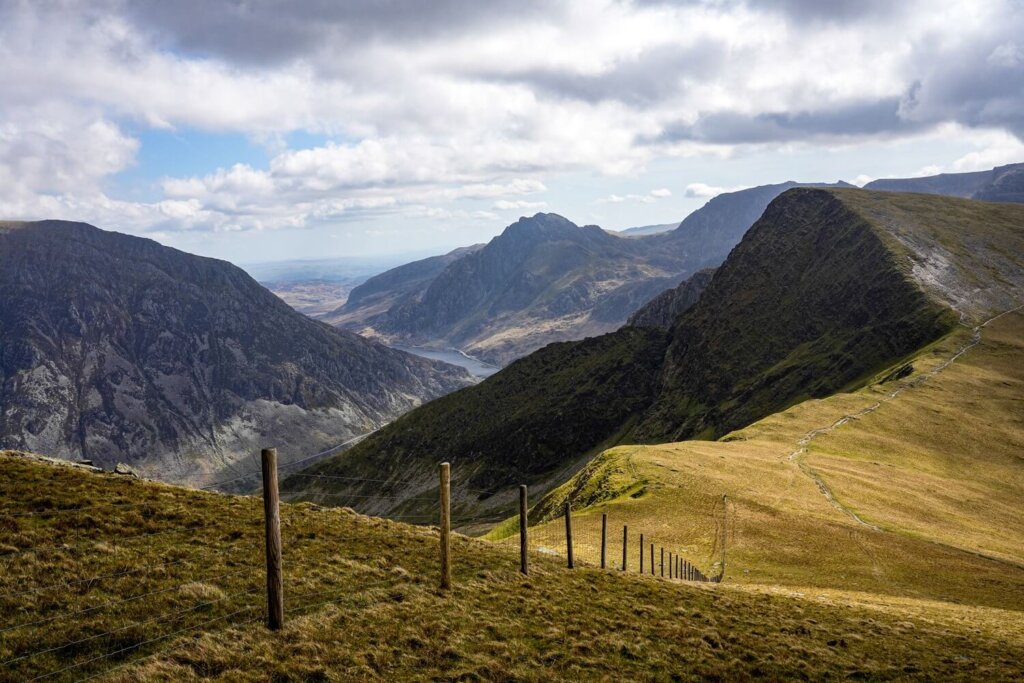
Soon, we began to ascend back up to Mynydd Perfedd. We came to a stile over the fence in front of us, where we could also look down into the Ogwen Valley. After climbing over the stile, look back again to appreciate Elidir Fawr once more before officially making it to Mynydd Perfedd.
Section 4. Mynydd Perfedd to Carnedd Y Filiast and Trailhead
From Mynydd Perfedd, we carried on along the flat section to Carnedd Y Filiast, which was only about 1 km (0.6 miles) away. Along the way we crossed a stone wall with a stile and could also see the Atlantic Slab, which is a Grade 3 scramble.
After reaching Carnedd Y Filiast, we started our descent back down to the reservoir access road. The descent was pretty steep and slippery, with many loose rocks underfoot. Take it easy and perhaps use hiking poles, especially if you have knee problems. Just as we thought our knees couldn’t handle any more downhill, we finally reached the access road. From here, we still had to walk a good 2.5 km (1.5 miles) to reach our car. Walking along the access road was probably the most boring part of the trail, but at least it was all downhill.
Practical Information About the Elidir Fawr Hiking Trail
How to Get to the Trailhead
The trailhead to Elidir Fawr is located along the access road to Marchlyn Mawr Reservoir, to the northeast of Llanberis. There’s a short lay-by where you can park your vehicle, here on Google Maps. Whilst this trail is nowhere near as popular as the hikes in the Ogwen Valley or Yr Wyddfa (Snowdon), you’ll still want to arrive at a reasonable time to secure a spot, as there aren’t too many.
Best Time to Hike Elidir Fawr
We personally recommend planning your hike between the end of spring and start of autumn. You’ll be in North Wales, where the weather conditions can change quickly. You essentially want to have a relatively clear day, as missing out on the views would be a shame. You’ll also want a dry day because there will be no shelter from the elements. If you have a lot of hiking and navigating experience, it’s perfectly doable in less than ideal weather conditions. Nevertheless, low visibility, rain and wind can make this walk more dangerous.
Our best advice is to check either the Met Office or the Mountain Weather Information Centre (MWIS) on the morning of your planned hike.
Luckily, Elidir Fawr will be nowhere near as busy as Yr Wyddfa (Snowdon) or the Ogwen Valley, even if the peak is part of the Welsh 3000’s. However, it’s definitely an easier walk compared to some of the other peaks in Eryri, so expect to see more fellow hikers on the trail on a sunny day and/or on weekends and holidays.
What to Wear and Bring with You
Normally North Wales is rather wet and conditions can change quickly the higher up you go. Therefore, wear weather appropriate clothing when attempting this trail. You’ll be exposed the whole time, so make sure you check the weather forecast before you set off and have a few waterproof and warm layers with you. You might feel a bit cooler along the top but warmer lower down, or whilst your descending or ascending. If it’s a sunny day, don’t forget to bring enough sun protection.
Many accidents happen due to people not wearing proper walking/hiking shoes or boots. Therefore, we can’t emphasize enough that you should wear hiking appropriate footwear, whether that’s trail runners or boots.
Pack your own lunch and snacks and have plenty of water and hot drinks with you, depending on the weather. During your ascent you’ll be sweating a lot more, so you’ll want to keep hydrated and have enough energy to carry on.
Please Note! Whatever you bring with you, make sure you either take it home or dispose of it responsibly. We suggest bringing a garbage bag with you which you can collect all your waste in. Enjoy your time in nature but Leave No Trace!
Final Thoughts on Hiking Elidir Fawr in Eryri
We absolutely loved this trail for multiple reasons. First of all, it’s way quieter than some of the most popular hikes. We definitely didn’t have to queue to reach the top like we did at Yr Wyddfa (Snowdon). Thanks to the peak’s location, we could essentially get views of all the iconic summits in Eryri. We could clearly see all the peaks along the Snowdon Massif, as well as down into the Ogwen Valley and even over to the Carneddau. Compared to many of the ridges that we’ve hiked in North Wales that include Grade 1 scrambles, Elidir Fawr was definitely a less technical hike but just as rewarding.
Have you ever hiked Elidir Fawr in Eryri before? If so, how was your experience? If not, would you add this walk to your North Wales hiking wish list? Let us know in the comments below. Lastly, if you found this blog post useful and want to show your support, you can buy us a coffee here.
Now, let your adventure begin,

Remember…It all starts with a Pin…

This looks like an amazing hike!
It is indeed a lovely trail.
This looks stunning! The views are wonderful.
Yes, we were blown away too.
The views are amazing. That would take some stamina and determination to hike all 15 peaks in such a short amount of time. Are you planning to do or have you done it?
We haven’t done the challenge yet, as I think we would need to do way more training! However, we’re planning on climbing all of them individually at least.