Hiking Beinn Sgritheall (Arnisdale Circular) in the Scottish Highlands – A Tough but Rewarding Munro

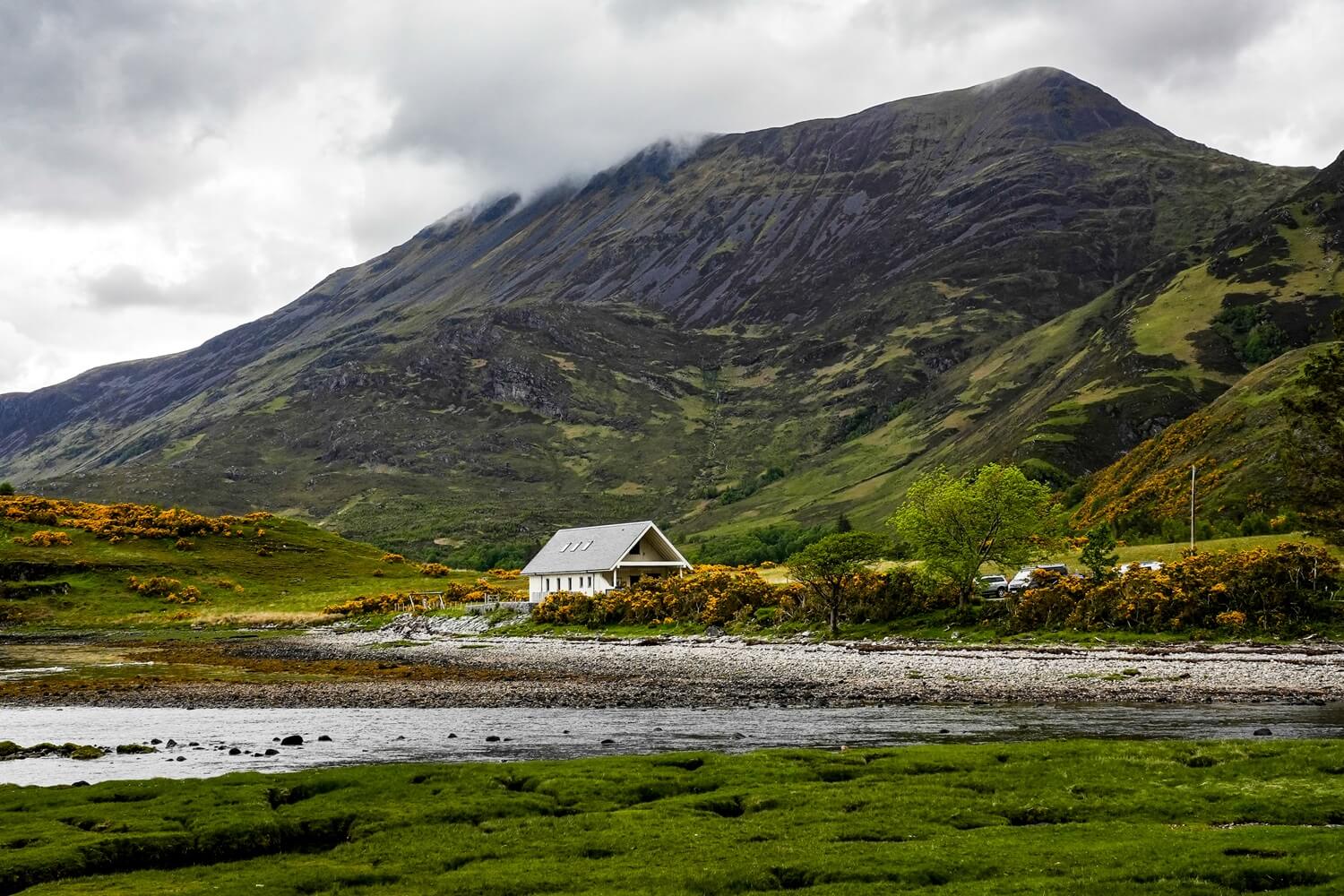
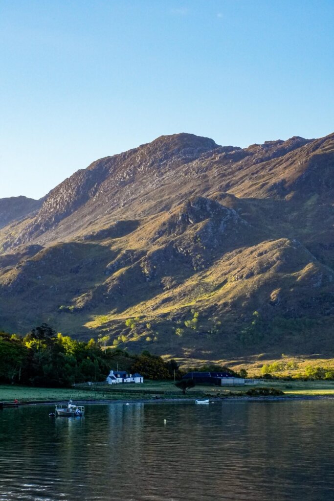
Towering above the tiny village of Arnisdale on Loch Hourn is a stunning Munro called Beinn Sgritheall. It’s often mentioned as one of the best solitary Munros, with its straightforward ascent and exceptional views of the Scottish Highlands from the summit. However, climbing Beinn Sgritheall was anything but a walk in the park. It’s considered one of the hardest Munros because of the incredibly steep ascent and descent through scree slopes. We definitely had to work hard to bag this Munro, but the reward at the top was worth every drop of sweat and knee pain.
In this blog post, we’ll detail everything you need to know about hiking Beinn Sgritheall including the trail length, level of difficulty, the best time to climb it, how to get to the trailhead and, of course, what to expect once you’re on the trail.
NOTE. This is NOT a beginner friendly hike/Munro and we don’t recommend trying it without prior hiking experience. This guide is also based on our personal experience and level of fitness. We cannot guarantee that you can do this climb. Therefore, it is your responsibility to decide if this particular trail is for you or not.
If you’d like to see the hike, make sure to watch our Glenelg video which we shared on our YouTube channel Kitti and Jon.
Disclosure: This post may contain affiliate links, which means we may receive a small commission if you click a link and purchase something. Clicking these links won’t cost you anything, but it will help us to keep this site up and running! Learn more about our affiliate policy.
About Beinn Sgritheall
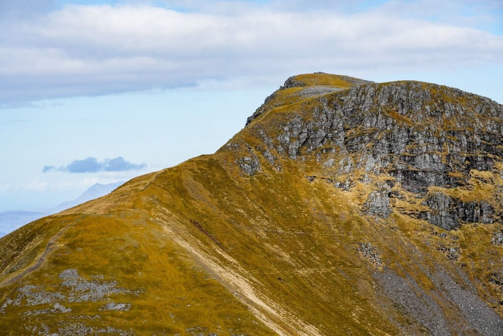
Beinn Sgritheall, (anglicised Ben Sgriol), is a solitary Munro near the village of Arnisdale, on the shores of Loch Hourn in the Northwest Highlands of Scotland. It means ‘scree mountain’ in Scottish Gaelic, which is a very appropriate name for it.
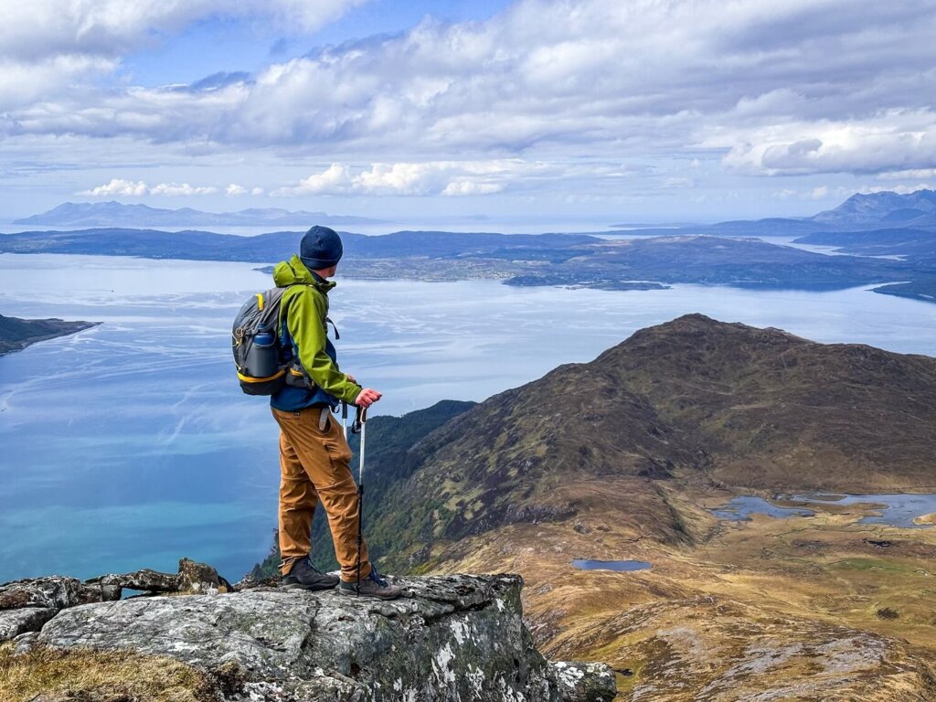
At 974 m (3,196 ft) it is the highest mountain on the Glenelg peninsula and the 183rd highest Munro. From its summit climbers are rewarded with panoramic views of the Isle of Skye, Rum and Eigg of the Inner Hebrides and much more of the mainland Highlands.
Did you know? Munros are mountains in Scotland that are over 3,000 ft (914.4 m) tall. There are 282 Munros in Scotland, with Ben Nevis being the highest at 1,345 m (4,413 ft). There’s a popular activity amongst avid climbers called ‘Munro bagging’. As part of the challenge, hikers try to climb as many peaks as possible. Apparently, there are just over 6,000 people who have bagged all the Munros so far.
Map of the Beinn Sgritheall (Arnisdale Circular) Hiking Trail
Quick Hiking Trail Statistics:
- Trailhead / Car Park: Small layby in Arnisdale Village
- Trail Length: 10 km / 6.2 miles (Circular)
- Elevation Gain: 1,082 m / 3,550 ft
- Highest Point: Beinn Sgritheall (974 m / 3,195 ft)
- Level of Difficulty: Hard
Beinn Sgritheall Hiking Route Statistics
Length of the Beinn Sgritheall (Arnisdale Circular) Hiking Route
The Beinn Sgritheall (Arnisdale Circular) hike is an approximately 6.2 mile (10 km) long circular route. This trail could take anywhere from 6 to 8 hours, depending on your speed going up and down the steep sections and how many breaks you take around the route. The scenery is breath-taking, so you’ll inevitably want to stop often to admire it.
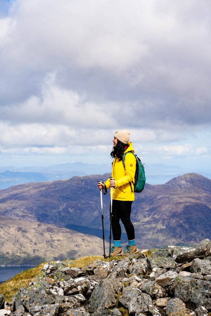
In terms of timings, we started the walk around 6:30AM. We got up the steepest section to the subsidiary peak (906m) around 10AM. Then we reached the summit of Beinn Sgritheall around 10:45AM. We took our time between the subsidiary peak and the actual summit because we could really enjoy the scenery from here without having to focus on every single step. We also spent some extra time hanging out at the summit, taking in both the views and the sunny and windless conditions, which you don’t always get in the Scottish Highlands! A mental break was also necessary because the descent took us just as long due to the steep and stony slope. In the end, we completed the walk around 2:30PM.
Level of Difficulty of the Beinn Sgritheall (Arnisdale Circular) Trail
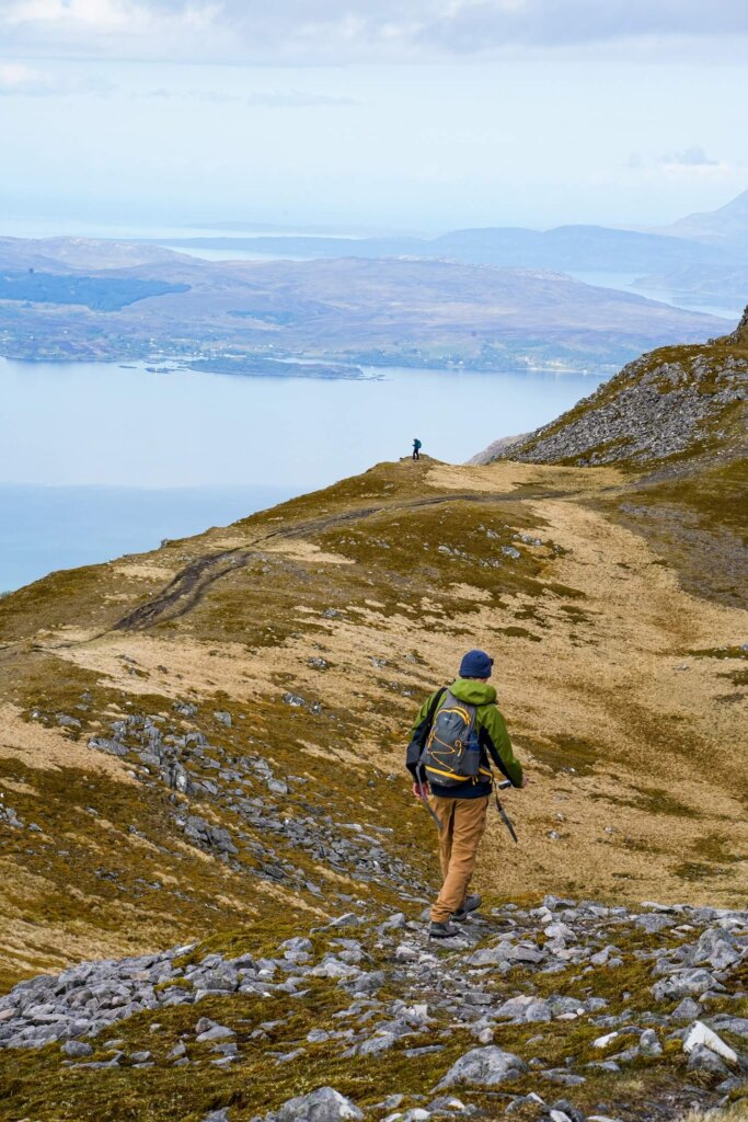
The Beinn Sgritheall (Arnisdale Circular) is rated as a hard trail. For this reason we don’t recommend attempting to climb Beinn Sgritheall without any prior hiking experience. To complete this walk safely, you’ll need to be in good shape and have plenty of hiking experience.
Let’s quickly run through the key challenges you could face along the Arnisdale Circular.
Elevation Gain and Loss
Beinn Sgritheall comes with a total elevation gain of about 1,082 m (3,550 ft).
In the first 2 km between the trailhead and the mountain pass (Bealach Arnasdail), you’ll gain about 600 m (1,969 ft) of elevation. The next part up to the subsidiary peak comes with an elevation gain of nearly 300 m (984 ft) in just 0.7km.
The section between the subsidiary peak and the summit was the easiest part, with only 135 m (443 ft) of elevation gain. Enjoy this because the descent is pretty steep too. From the summit to the road you’ll descend to 30m above sea level in just 3 km. That’s a lot of elevation loss in one go.
Trail Length and Conditions
The trail’s steepness and condition also make climbing Beinn Sgritheall challenging. We essentially went from sea level to the summit in about 4km. The first 2 km were steep and boggy, following the burn (stream) of Allt a’ Mhuilinn. Then the next 0.7 km were even steeper scree, with very short switchbacks. This section was the most challenging and dangerous part, which required constant concentration.
The part between the subsidiary peak and the actual summit was the least demanding. It gave our legs a little respite and the wider path also allowed us to take in the scenery instead of focusing on our every step.
Unfortunately, the descent wasn’t any less challenging. It was steep and slippery, with loose rocks across the path until we reached the small lake of Lochan Bealach Rarsaidh. Going through the woodland of Coille Mhialairigh was slippery and muddy too. The descent definitely took a toll on our knees. Reaching the tarmac for the last couple of kilometres was a blessing and we got through that section quite a bit faster. However, the hard tarmac can also feel uncomfortable on your already tired legs.
Whilst the length of the hike didn’t seem long, this trail required us to be alert and focused at all times, which tired us out mentally as well as physically. Even after reaching the summit, we needed to watch our steps on the descent. Many accidents happen because people get tired and lose focus on the downhill. Overall, it was probably one of the most mentally draining hikes we’ve done in a long time.
Temperatures and Weather Conditions
Lastly, you’ll also have to be mindful of the weather conditions when hiking Beinn Sgritheall. Strong wind, low visibility, snow and even strong sunshine can make your walk more difficult and dangerous. Always check the Met Office or the Mountain Weather Information Centre (MWIS) on the morning of your planned hike and be prepared for conditions to change.
You’ll be exposed throughout the majority of the trail and will have no escape from the elements. Therefore, it’s important to wear and have appropriate gear. We’ll talk more about what to bring on this hike further down.
Top Advice. Since Beinn Sgritheall isn’t the most popular Munro to climb, the path won’t be as busy as on Ben Nevis for example. Therefore, you should let someone know that you’re hiking this trail and keep them updated on your progress.
Beinn Sgritheall (Arnisdale Circular) Route Description
Section 1. Trailhead in Arnisdale to Bealach Arnasdail
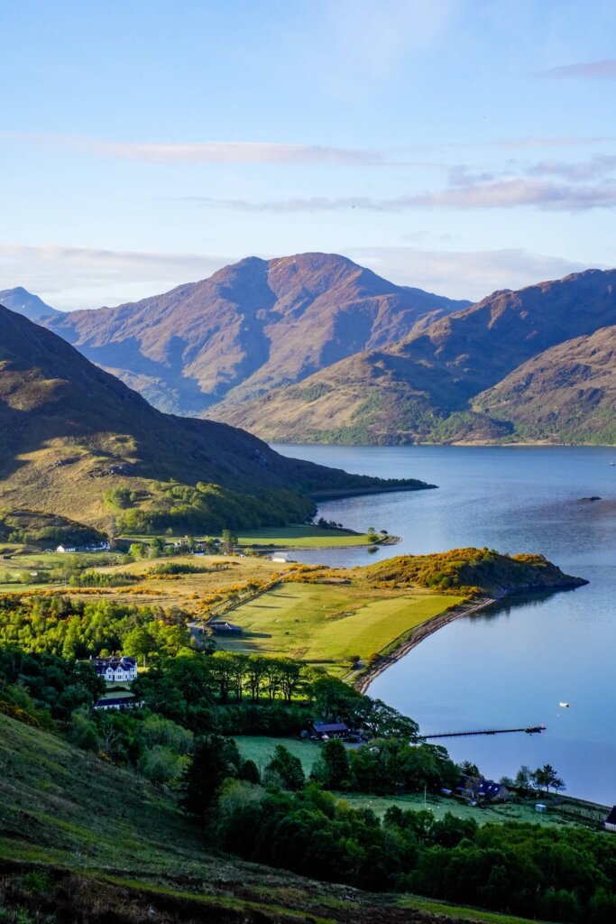
The trailhead was easy to find as it was signposted at the western end of Arnisdale. Going through the first gate, the path was narrow but easy to follow, although a bit overgrown and muddy. If you come in the summer months, expect this section to be full of midges. The path started off steep and we gained elevation quite quickly.
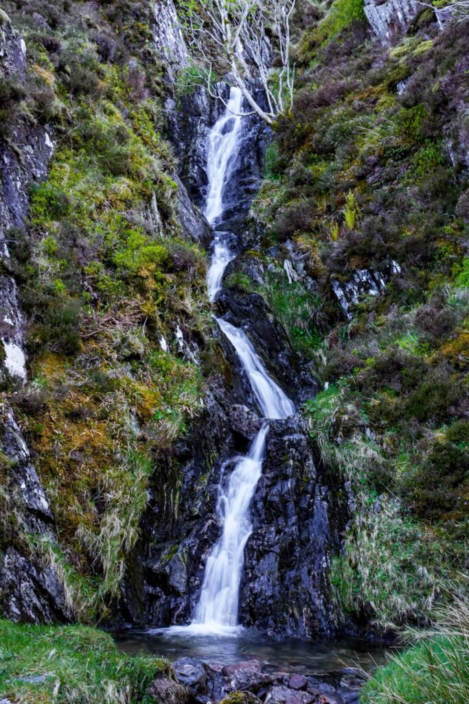
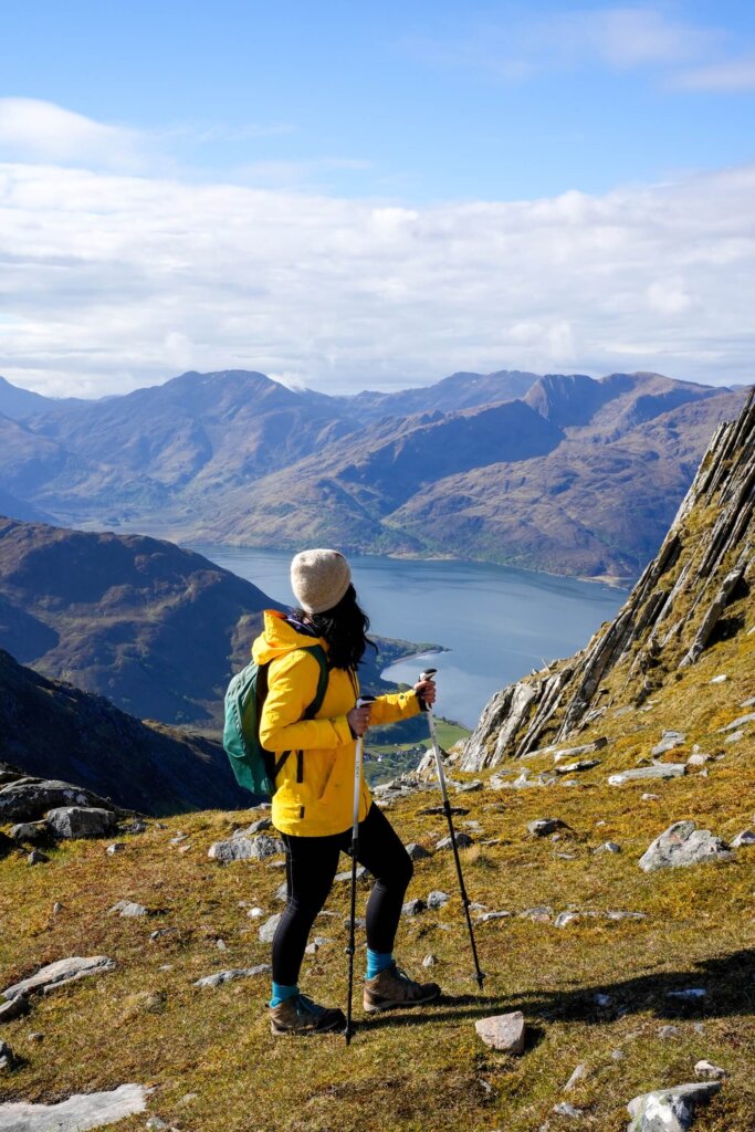
Once we got above the tree line, passing another gate, we could look back and see Loch Hourn and the Knoydart peninsula, with Arnisdale below us. Then we carried on along the path, following the burn (stream) of Allt a’ Mhuilinn that makes its way down the mountain in between Beinn Sgritheall and Beinn na h-Eaglaise. Along the way, we also passed a few smaller and taller waterfalls before reaching the mountain pass of Bealach Arnasdail.
Overall, this first section was only about 2 km (1.2 miles) long. However, it came with an elevation gain of 600 m (1,969 ft), so it is very steep.
Section 2. Bealach Arnasdail to the Subsidiary Peak at 906m
After catching our breath for a few minutes and enjoying the views from Bealach Arnasdail it was time to tackle the hardest part of the hike. This next ascent was up a steep and stony slope with short switchbacks. Gaining around 300 m of elevation in 0.7 km on a slippery slope with a high gradient requires paying attention to every single step.
The first half of this section was the “easiest” with a nice rest spot about half-way up. The views from here were really lovely and definitely got us even more excited for reaching the summit. However, the second half got even steeper and required us to be more hands on in places for additional support. This part is not for the faint hearted and I would pick a Grade 1 scramble up a knife-edge ridge like Crib Goch in North Wales over this scree slope.
Reaching the subsidiary peak at 906 m above sea level was a big relief to say the least. Plus, the views were already incredible here and made the climb well worth it.
Section 3. Subsidiary Peak (906m) to the Summit of Beinn Sgritheall
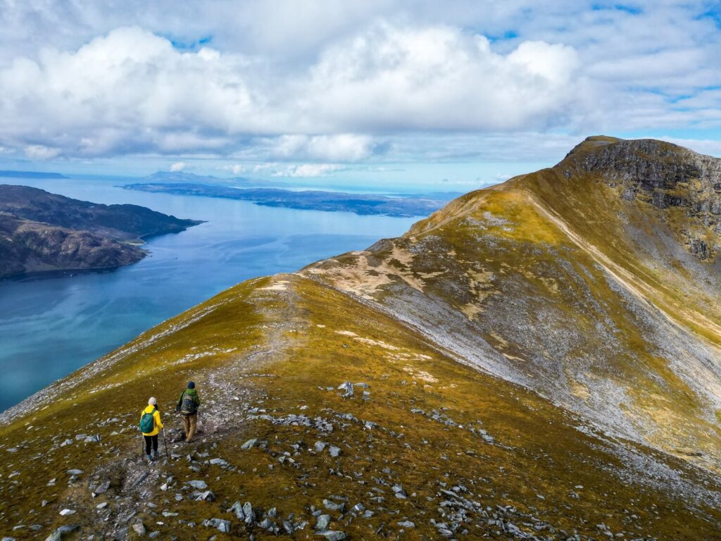
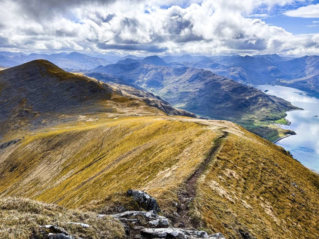
From the subsidiary peak we carried on along the wide ridge towards the summit of Beinn Sgritheall. We started with a short downhill section before the path started to ascend again. All the while we had panoramic views looking out towards Rum, Eigg and the Isle of Skye.
The last section before the summit got narrower again, although it was way easier to navigate than the scree slope earlier. A few minutes later, we finally reached the summit of Beinn Sgritheall at 974 m (3,196 ft) above sea level. Fortunately the weather was still very clear, which allowed us to see for miles. We had undisturbed views of the Isle of Skye and the Cuillin Ridge, which was surprisingly also clear. The views over to Knoydart, as well as towards the north and north-east, were also magnificent.
Since the weather was incredible with next to no wind, we spent a good while at the summit refuelling our bodies whilst taking in the incredible vistas. Our legs were thankful for the rest time, because we still had over half of the entire circuit left to complete, including losing all the elevation we’d just gained.
Section 4. Descending Beinn Sgritheall Back to Arnisdale
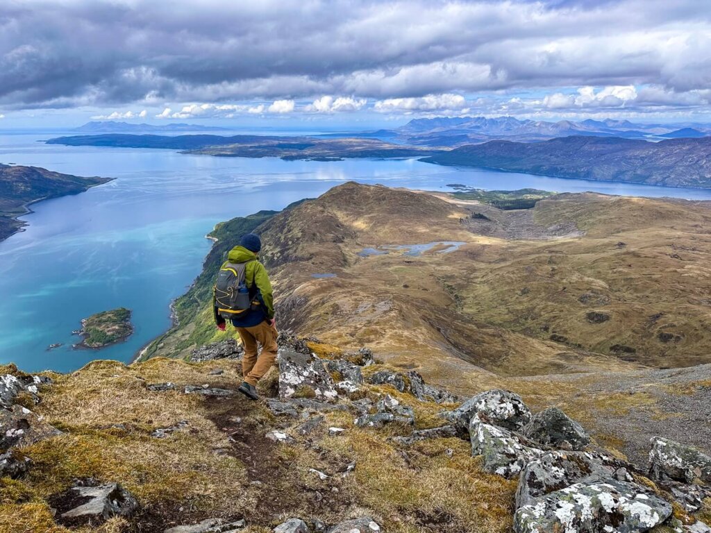
After resting up, we began our descent down the west ridge. This downhill section was rocky and steep but not nearly as bad as the uphill, as there were a few more easier sections where the trail flattened out a bit. Nevertheless, we still needed to focus on every step and it took a toll on our knees by the end.
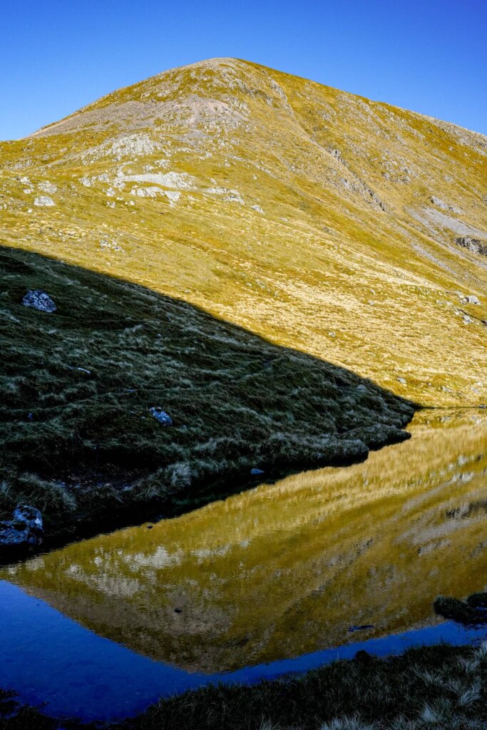
The path took us down towards a small loch (Lochan Bealach Rarsaidh), before carrying on through the forest of Coille Mhialairigh. At the start of the treeline, we still had around 370 m (1,214 ft) to descend. This section was steep and muddy/boggy in many areas as we got lower. Eventually we reached the tarmac, which felt incredible. From here, we carried on along the road for another 3 km towards Arnisdale village to complete the circuit.
Practical Information About the Beinn Sgritheall Trail
How to Get to the Trailhead / Where to Park for Beinn Sgritheall
The trailhead for Beinn Sgritheall is located in the small village of Arnisdale, about a 30 minute drive from Glenelg. The most convenient way to reach Arnisdale is by car.
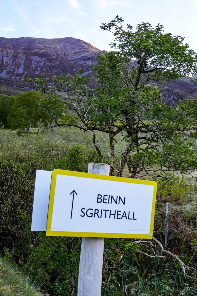
There’s a small layby about 100m east of the trailhead where you can park your vehicle. Please avoid parking on the verges / grass. The official trailhead starts at the ‘Beinn Sgritheall’ footpath sign.
Best Time to Hike Beinn Sgritheall
We personally recommend planning your hike up Beinn Sgritheall between late spring and the start of autumn (May to October). This will allow you to complete the hike in plenty of daylight, compared to the much shorter days of the winter season. Snow and ice can be present here until early spring and you would need winter mountaineering skills and equipment to ascend this Munro at that time.
You’ll be in the Highlands, where the weather conditions can change quickly even in the warmer months. Ideally, you should aim to hike Beinn Sgritheall on a pretty clear day, as missing out on the views would not be worth the effort you’d be putting in, in our opinion.
You’ll also want a dry day with minimal wind because there will be no shelter from the elements. If you have a lot of hiking and navigating experience, it’s doable in less than ideal weather conditions. Nevertheless, low visibility, rain and wind can make this walk more dangerous.
What to Wear and Bring with You
Normally, the Scottish Highlands are rather wet and conditions can change quickly the higher up you go. Therefore, wear weather appropriate clothing when attempting this trail. You’ll be exposed the majority of the time, so make sure you check the weather forecast before you set off and have a few waterproof and warm layers with you. It’s usually cooler along the top but warmer lower down, or whilst your descending and ascending. If it’s a sunny day, don’t forget to bring enough sun protection.
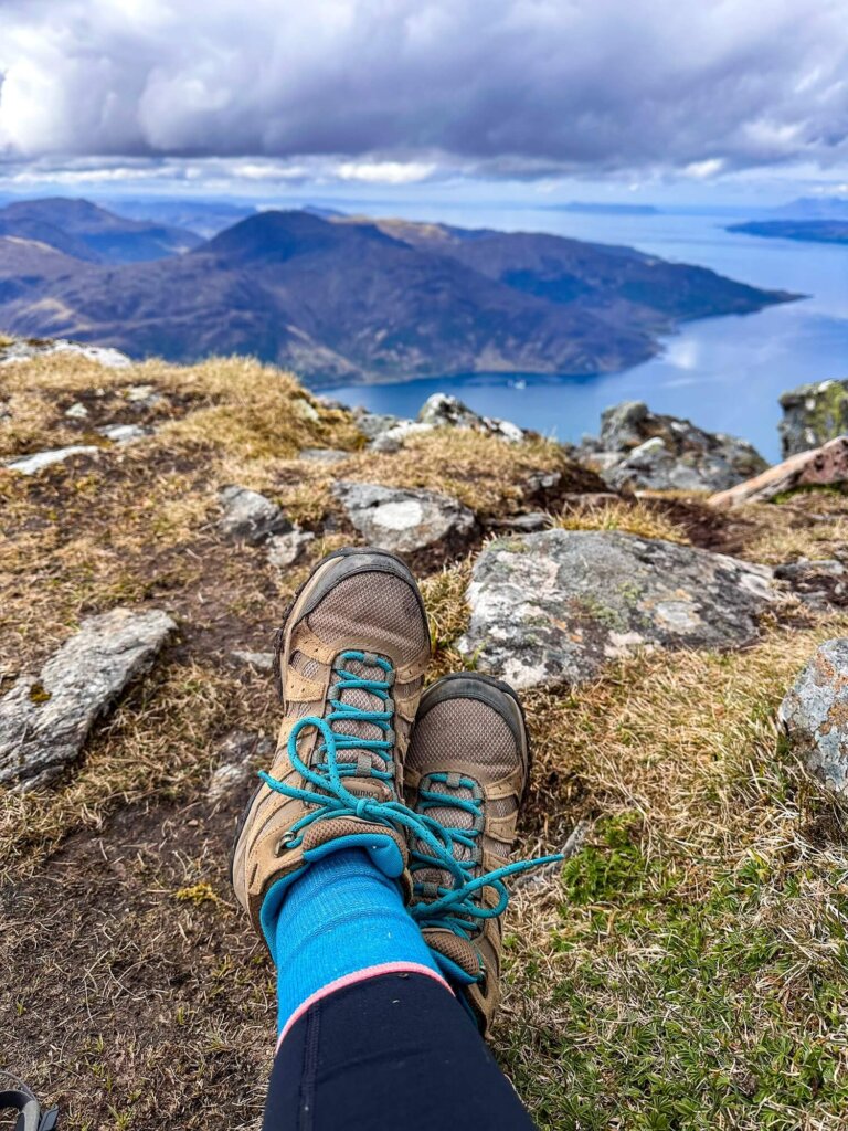
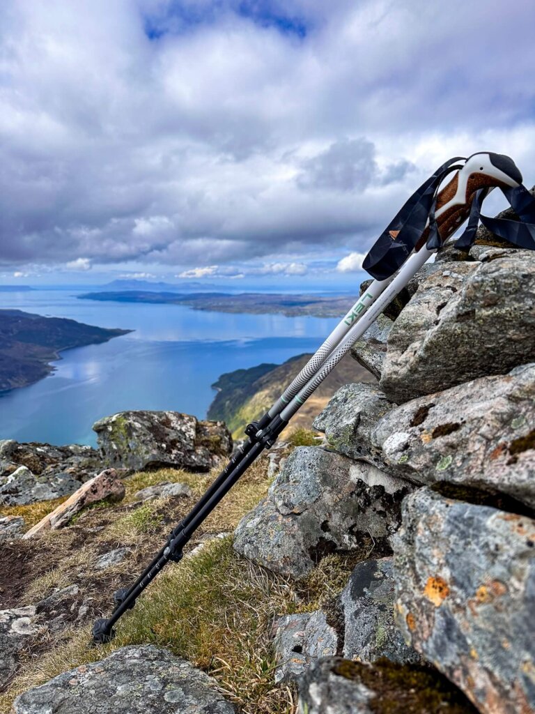
Many accidents happen due to people not wearing proper walking/hiking shoes or boots. Therefore, we can’t emphasize enough that you should wear hiking appropriate footwear, whether that’s hiking shoes or boots with good grip. I personally prefer boots for the extra ankle support, which comes in handy on the strenuous descent, when my legs are already tired. To ease the inevitable strain on your knees during the descent, we recommend bringing hiking poles.
Pack your own lunch and snacks and have plenty of water and hot drinks with you, depending on the weather. During your ascent, you’ll be sweating a lot more, so you’ll want to keep hydrated and have enough energy to carry on.
Please Note! Whatever you bring with you, make sure you either take it home or dispose of it responsibly. We suggest bringing a bin bag with you which you can collect all your waste in. Enjoy your time in nature but Leave No Trace!
Final Thoughts on Hiking Beinn Sgritheall
Beinn Sgritheall was a tough Munro to climb. Constantly concentrating on our steps probably tired us out way more than the overall elevation gain and loss. We cannot recall the last time we felt as mentally exhausted as we did after a 10 km hike. However, even the knee pain was worth it for the jaw dropping views we were rewarded with at the summit. We felt like we could see the whole of the Scottish Highlands and we totally understand why Beinn Sgritheall is considered one of the best solitary Munros.
Have you ever climbed Beinn Sgritheall before? If so, what was your experience like? If not, would you add this Munro to your hiking list? Let us know in the comments below. Lastly, if you found this blog post useful and want to show your support, you can buy us a coffee here.
Now, let your adventure begin,
Remember…It all starts with a Pin…
I’m currently recovering from knee replacement surgery, and I’m not sure what my hiking future looks like. But, this i s definitely on my wishlist, as is a return to see much more of beautiful Scotland. Saving. thank you.
I really hope that your recovery goes well and you can return to the mountains soon!
Kitti, loved the hiking detail and couldn’t stop gaping at your photos.
Thank you so much, it means a lot!