
Moel Siabod via Daear Ddu Ridge Walking Guide in Eryri

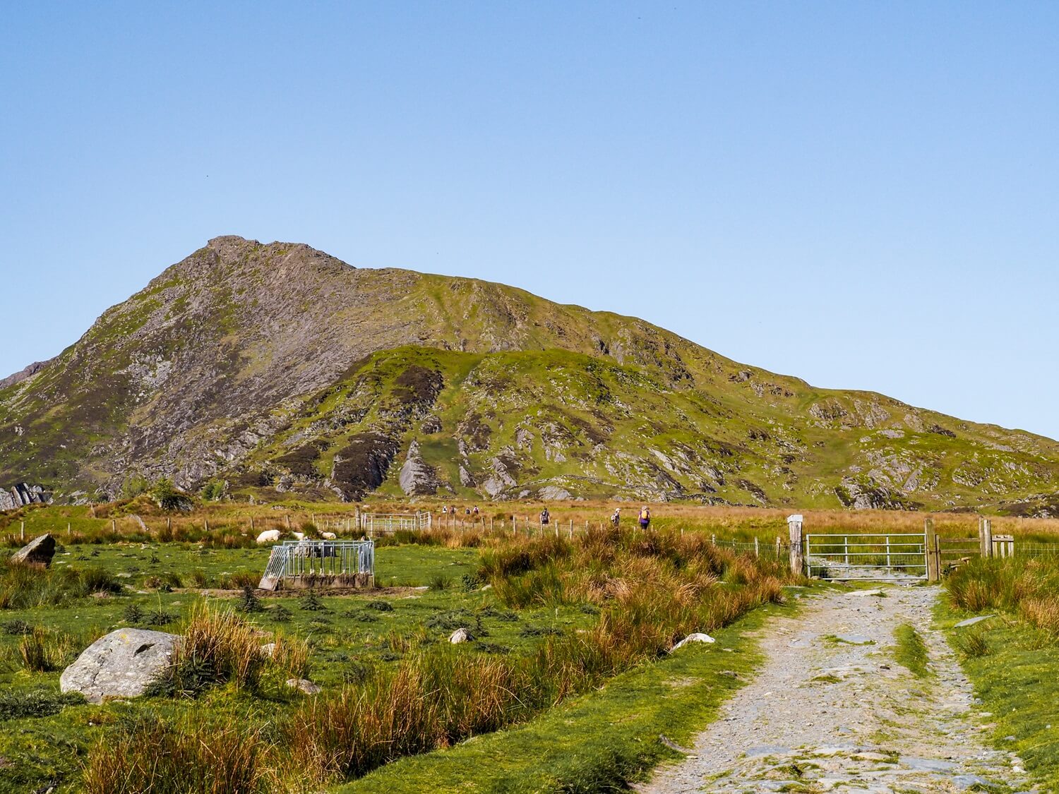
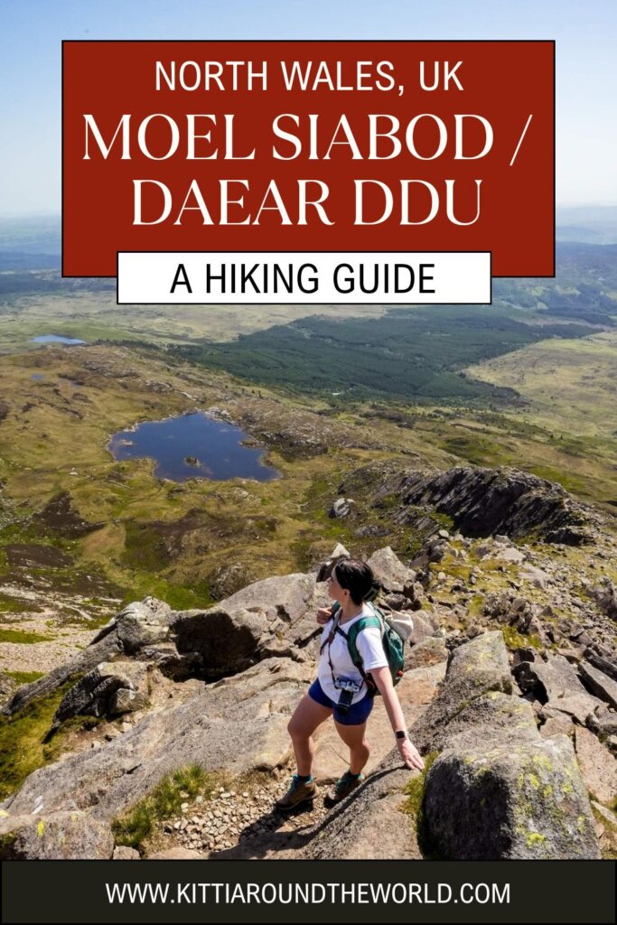
The solitary peak of Moel Siabod is one of the best walks in Eryri (Snowdonia) National Park. Whilst not a Welsh 3000er, it still provided us with a great range of adventures, including a Grade 1 scramble up the Daear Ddu Ridge. Upon reaching the summit, we were rewarded with expansive views of Eryri, such as Yr Wyddfa (Snowdon), the highest point in Wales. Not to mention, Moel Siabod was a much quieter hike compared with many of the more popular peaks nearby. If you want to avoid crowds on the trail, have a fun scramble and get panoramic views, Moel Siabod is a great option for your next hike in Eryri.
As usual, you should never attempt to climb a mountain unprepared. Therefore, in this guide we’ve collected everything you need to know about the Moel Siabod via Daear Ddu Ridge trail, including its length, level of difficulty, the best time to hike it, how to get to the trailhead and, of course, what to expect once you’re on the trail.
Disclosure: This post may contain affiliate links, which means we may receive a small commission if you click a link and purchase something. Clicking these links won’t cost you anything, but it will help us to keep this site up and running! Learn more about our affiliate policy.
About Moel Siabod and Daear Ddu Ridge
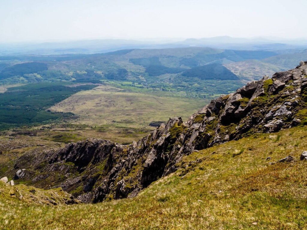
Moel Siabod (pronounced “Moil Shabod”) is located near Betws-y-Coed in Eryri (Snowdonia) National Park in North Wales. With a height of 872 m (2,861 ft), it is the highest peak in the Moelwynion Mountain Range. From the summit on a clear day, you can see 13 of the 15 Welsh 3000ers. Daear Ddu ridge is on the southern side of the peak and is considered a Grade 1 scramble.
This walk is also part of the Trail 100, a subjective list published in Trail Magazine of the 100 must-climb hills in the UK.
Map of the Moel Siabod via Daear Ddu Ridge Trail
Quick Hiking Trail Statistics:
- Trailhead / Car Park: Car park along A5 (here on Google Maps)
- Trail Length: 9.8 km / 6 miles (Circular)
- Elevation Gain: 755 m / 2,477 ft
- Highest Point: Moel Siabod (872 m / 2,861 ft)
- Level of Difficulty: Moderate (fitness level dependent)
Moel Siabod via Daear Ddu Ridge Statistics
Length of the Moel Siabod via Daear Ddu Ridge Walking Trail
The Moel Siabod via Daear Ddu ridge walk is an approximately 6 mile (9.8 km) long circular route. It could take around 4 – 5 hours to complete, depending on your speed scrambling up Daear Ddu ridge and how many breaks you take along the way. The scenery is really beautiful from the summit, so you’ll definitely want to spend some time at the top if the weather is nice.
In terms of timings, we started the trail around 8:30AM and got to the summit at 11:15AM. We took Daear Ddu ridge a bit slower due to the heat and also stopped for a short break to enjoy the views before the final push to the summit. We had a nice lunch break at the top before heading back down, reaching the car park just after 1PM.
Level of Difficulty of the Moel Siabod via Daear Ddu Ridge Hike
Depending on your level of fitness / hiking experience and the weather conditions, we personally rate Moel Siabod via Daear Ddu ridge between moderate and hard. If you’ve done any of the nearby peaks, such as Yr Wyddfa (Snowdon) via Crib Goch, Tryfan via North Ridge or the Glyders via Bristly Ridge, then you’ll find this trail more on the moderate side.
Let’s quickly run through the key challenges you could face along the trail.
Trail Length and Conditions
It’s a roughly 10km (6 mile) trail, which could feel quite long depending on your fitness level and/or the weather conditions. Although the path has flatter sections, there will be boggy areas and plenty of loose rocks, scree and bigger boulders in places.
Scrambling Daear Ddu ridge will require close attention to find safe and sturdy rocks for your hands and feet, even on a dry day. In wetter conditions, this may be more difficult.
In addition, the descent is also steep, rocky and slippery, which can be quite hard on the knees.
Elevation Gain and Loss
Whilst the length of the walk may not seem too bad, there’s still a total elevation gain of about 755 m (2,477 ft).
You’ll gain about 450m (1,476 ft) of elevation in the first 4km (2.5 miles) of the hike, up until you reach the start of Daear Ddu ridge. This is quite gradual though, with a mix of steeper and flatter sections. The steepest part is the ridge itself, where you’ll gain 300m (948 ft) of elevation in just 1 km (0.6 miles). Then the descent will also be pretty steep, dropping a similar elevation in a 1.3km (0.8 miles) section.
Temperatures and Weather Conditions
You’ll also have to be mindful of the weather conditions when walking up Moel Siabod via Daear Ddu Ridge. Wind, rain, low visibility, or even strong sunshine can make your walk more difficult and dangerous. Always check the Met Office or the Mountain Weather Information Centre (MWIS) on the morning of your planned hike and be prepared for conditions to change.
You’ll be exposed throughout the majority of the trail and will have no escape from the elements. Therefore, it’s important to wear and have appropriate gear. We’ll talk more about what to bring on this hike further down.
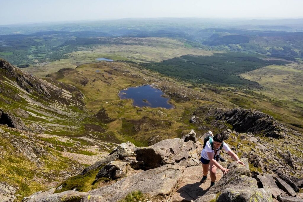
Daear Ddu Ridge Grade 1 Scramble
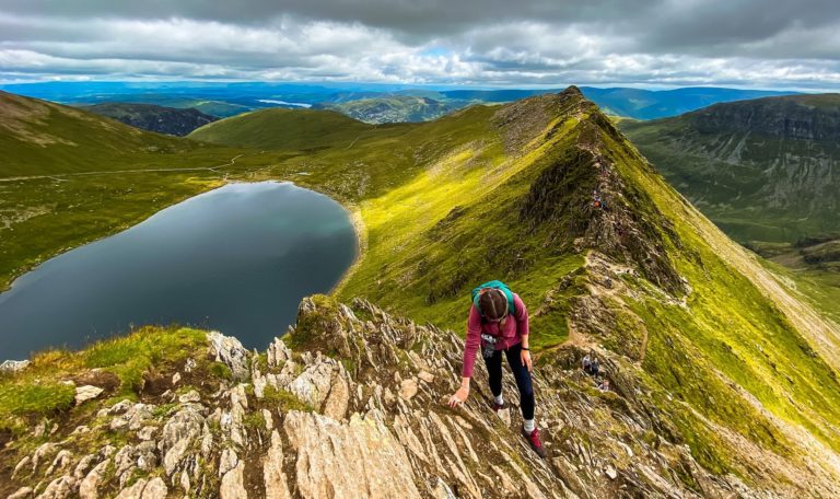
Daear Ddu ridge is a Grade 1 scramble that requires some navigation skills, a good head for heights and the use of your hands.
What is scrambling? Scrambling is somewhere in between walking and climbing. In the UK, scrambles are graded from 1 to 3. A Grade 1 scramble requires you to use both your hands and feet, but they are the easiest ones you can do. Grade 2 and 3 scrambles are closer to proper rock climbing, where you will most likely require the use of a rope.
If you’re just dipping your toes into scrambling, then Daear Ddu is a great one to tackle as a beginner. We found wayfinding much easier here compared to other Grade 1 scrambles in Eryri, such as Crib Goch, Tryfan North Ridge and Bristly Ridge. It is also a much wider ridge, with plenty of hand holds and places to take longer breaks. Obviously, in poor weather conditions, including low visibility, Daear Ddu ridge can become more challenging. Therefore, if it’s going to be your first scramble, we suggest picking a dry day with minimal cloud cover.
Hiking Moel Siabod without Scrambling Daear Ddu Ridge
You can actually reach the summit of Moel Siabod without scrambling up Daear Ddu ridge. There will be a fork just after passing Llyn-y-Foel lake at the bottom of the ridge. Here, you can carry on past the bottom of the ridge and then head up the path on the left side of it to bypass the ridge entirely.
However, if you want to have a brief taste of what scrambling up the ridge feels like, you can do a very short section by heading up the initial start of the ridge trail. If you change your mind, you can still skip the ridge and join the path running parallel to it after that first section.
Moel Siabod via Daear Ddu Ridge Route Description
Section 1. Trailhead to Daear Ddu Ridge
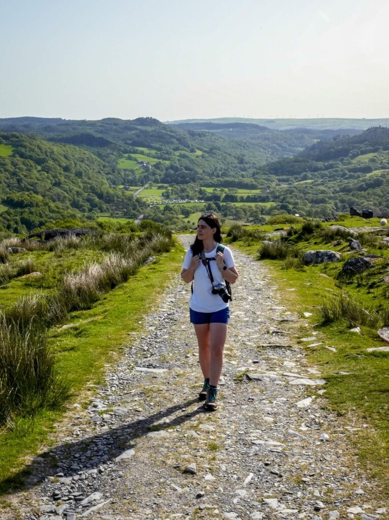
From the car park, follow the A5 parallel to Afon Llugwy, then cross the stone bridge across the river on your left and stay left until you reach a row of houses. At the fork, take the right road over the cattle grid. There was also a footpath sign to confirm that we were going the right way. Follow this road up to Rhos farm, where you’ll have to join a path around the side of the farm. It’ll be quite steep straight away but will even out a little after you cross the stile next to Siabod Holiday Cottages.
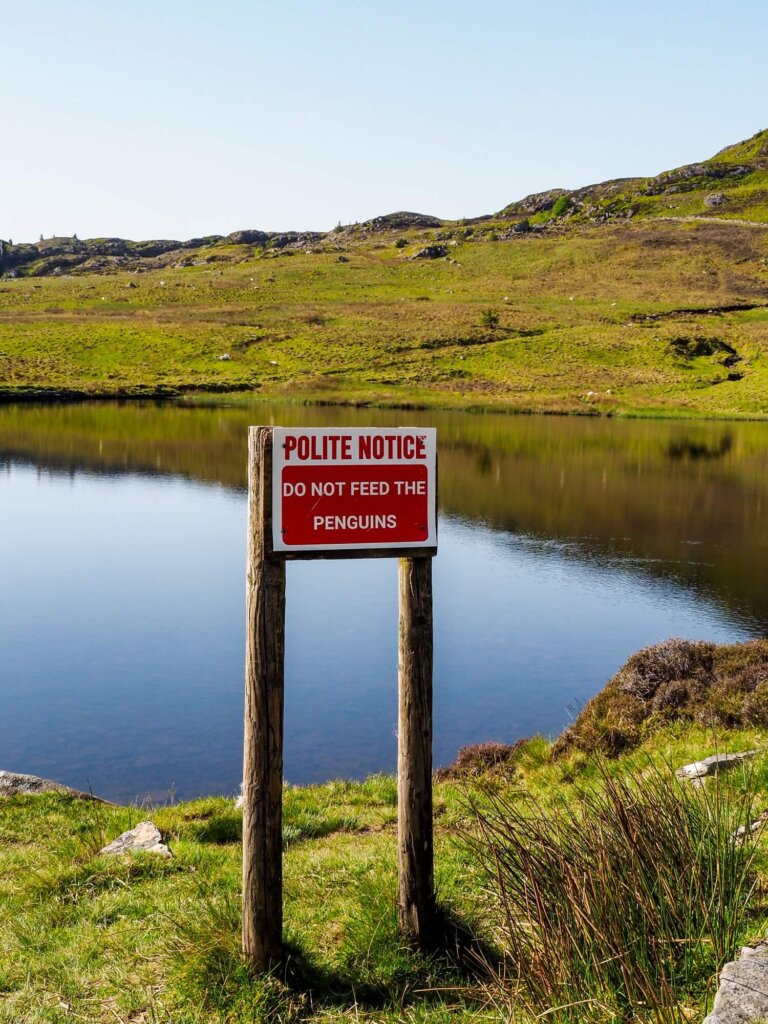
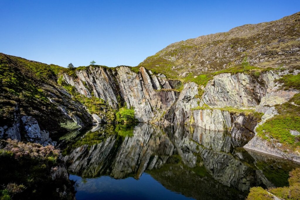
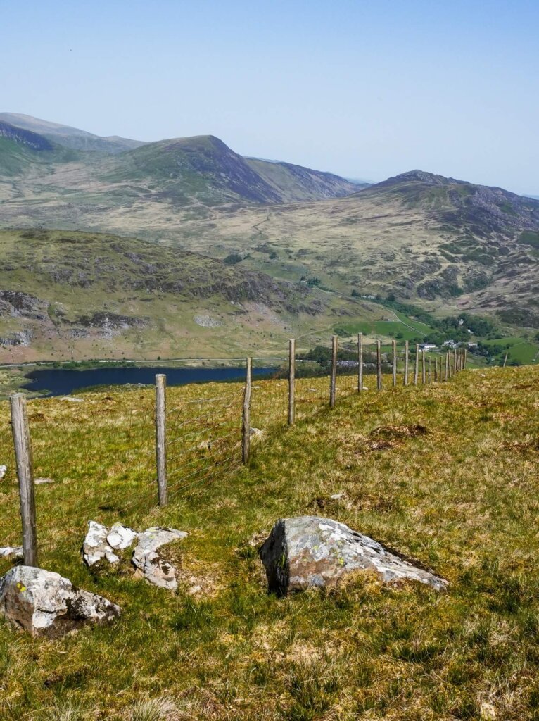
Past the holiday cottages, we got an undisturbed view of Moel Siabod. Just carry on walking along the rocky track until the next fork. We suggest going left here, following the track and completing the route in a clockwise direction. This way will lead you past a reservoir with a “do not feed the penguins” sign. Carry on along the trail with the lake on your left. Soon, you’ll come across some old stone buildings. These are the remains of the cottages of the Moel Siabod slate quarry that was shut down in 1884. A little further up there will be a quarry pit on your right filled with water. On a windless day, the reflection here can make it pretty photogenic.
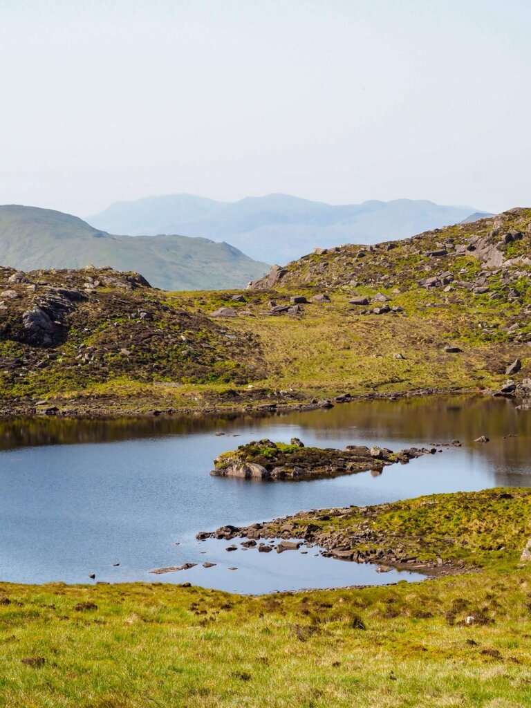
The views from here looking back were also lovely, so don’t forget to pause to take it all in. After a little uphill section, you’ll come across the boggy marshland around Llyn-y-Foel. Depending on the weather, it may be a bit slow getting through this section. However, the path eventually took us a bit higher, bringing us out just underneath Daear Ddu ridge.
Section 2. Daear Ddu Ridge to Summit of Moel Siabod
At this point you have a few options. You can carry on left, avoiding the Grade 1 scramble up the ridge straight away. If you wish to get a taste of scrambling, then start climbing up through the large boulders. After a few minutes, if you feel like scrambling is not for you, you can join the path that avoids Daear Ddu on the left.
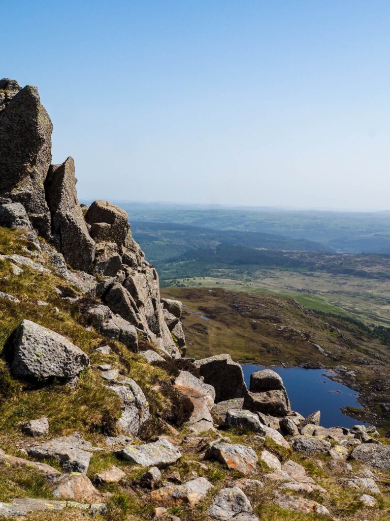
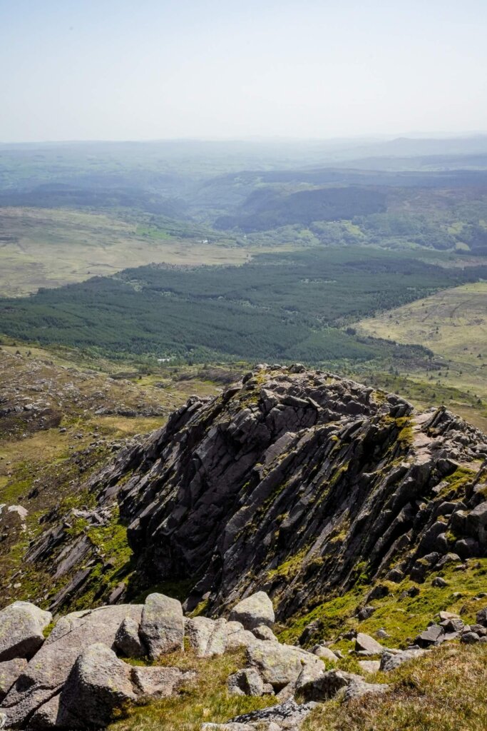
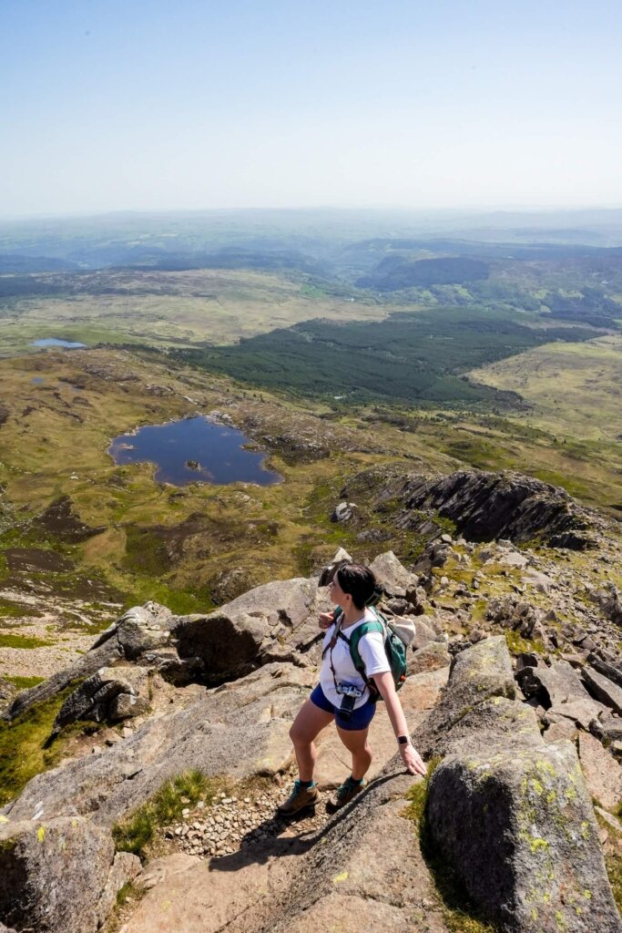
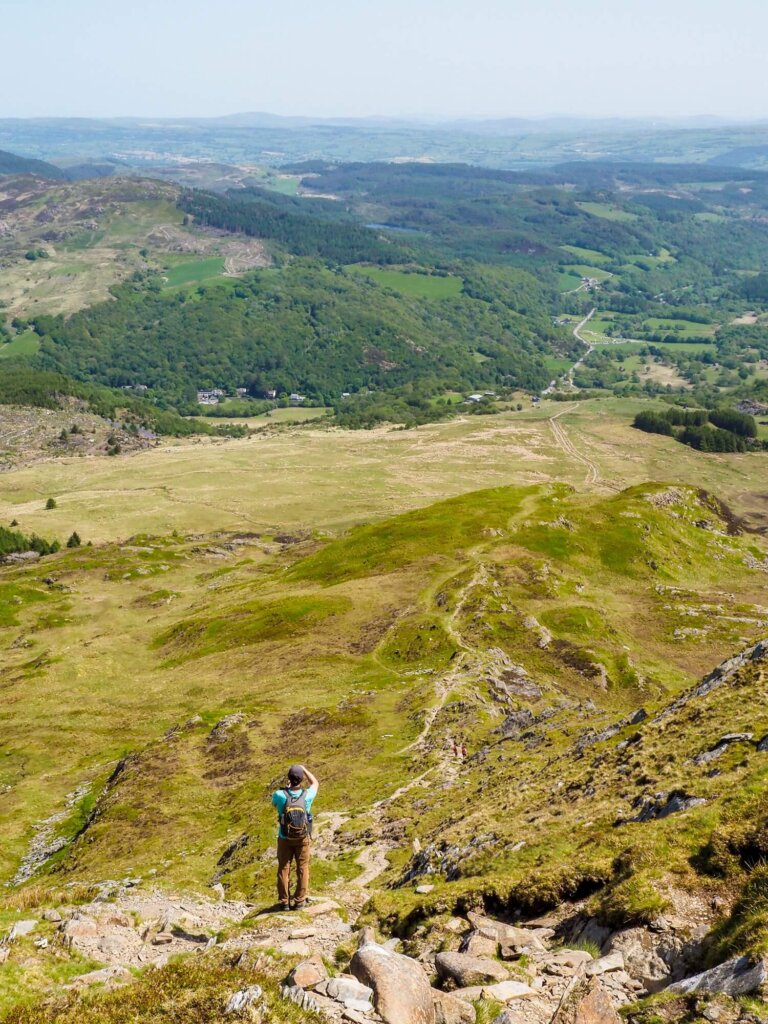
We wanted to scramble up Daear Ddu, so we carried on climbing up the ridge. Compared to other Grade 1 scrambles we’d completed, this one felt much easier for a few reasons. Wayfinding was pretty straightforward, thanks to the worn signs on the rocks and ground of a well-trodden route. Daear Ddu was also much wider than some of the knife edge ridges we’d climbed before. Having said that, we had clear and dry conditions that aided our prior scrambling and navigating experiences. You may still find the scrambling difficult if it’s your first time or the weather conditions aren’t ideal.
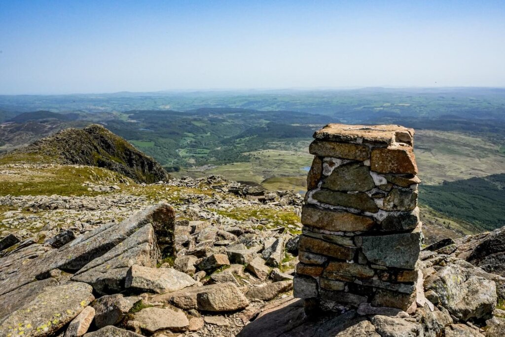
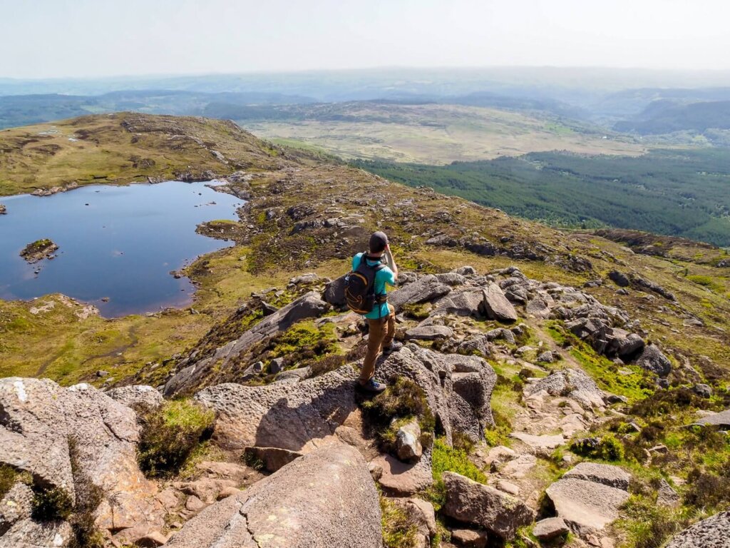
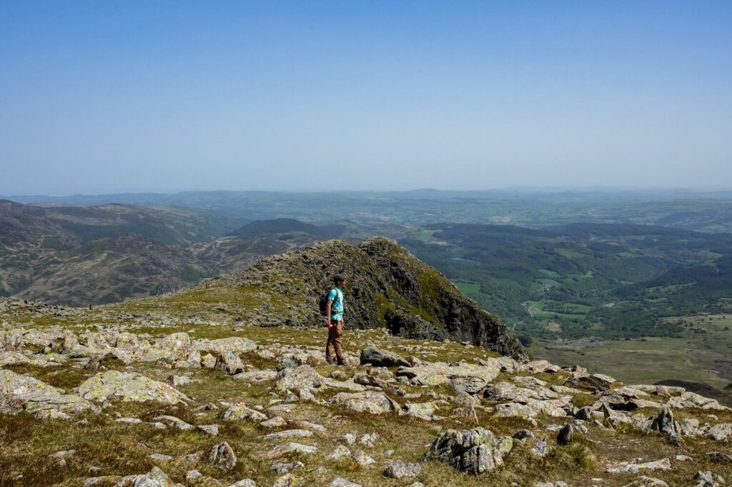
As we made our way higher, the views got better and better. There were quite a few wider areas where we could rest, whilst not getting in the way of fellow walkers. The very last part of Daear Ddu got slightly steeper and narrower before coming out at the summit of Moel Siabod, marked by a trig pillar.
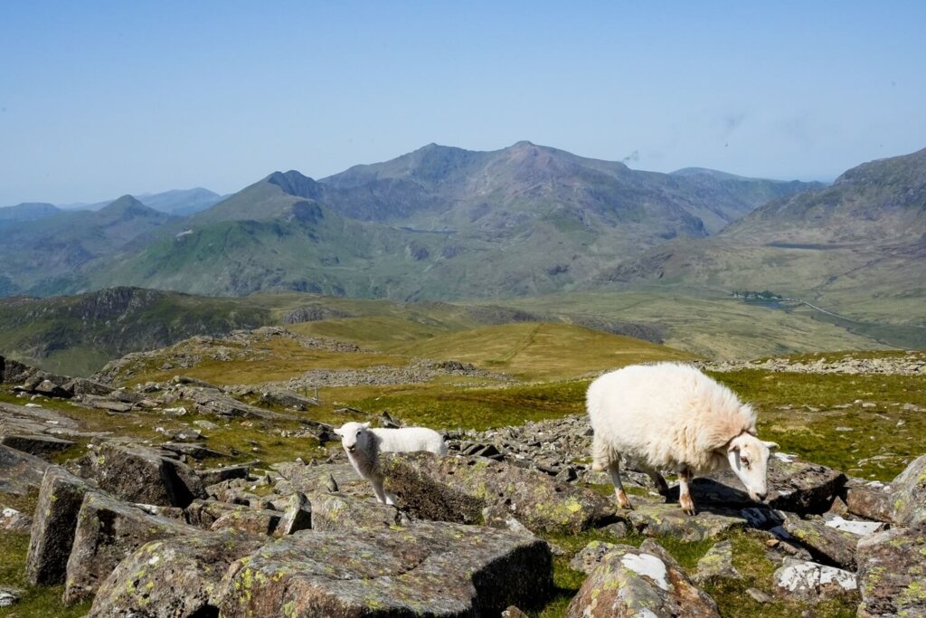
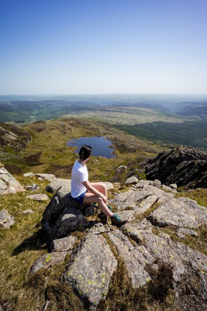
From the summit we had 360 degree panoramic views across Eryri. We could see the Snowdon massif, including the smoke of the train making its way up to the summit. The Glyderau and Carneddau, with Tryfan between them, were also clearly visible. It was a lovely spot for our lunch before the descent.
Section 3. Descending Moel Siabod
Once it was time to leave, we headed towards the circular stone wall just off the summit. From here, we got our last view of Daear Ddu ridge. Now you can decide to navigate via the ridge-line or head left around the rocks until you reach a wide grassy area. There will be a fork here, with the left trail heading straight down into Capel Curig. Stay on the right path that hugs the rocks higher up.
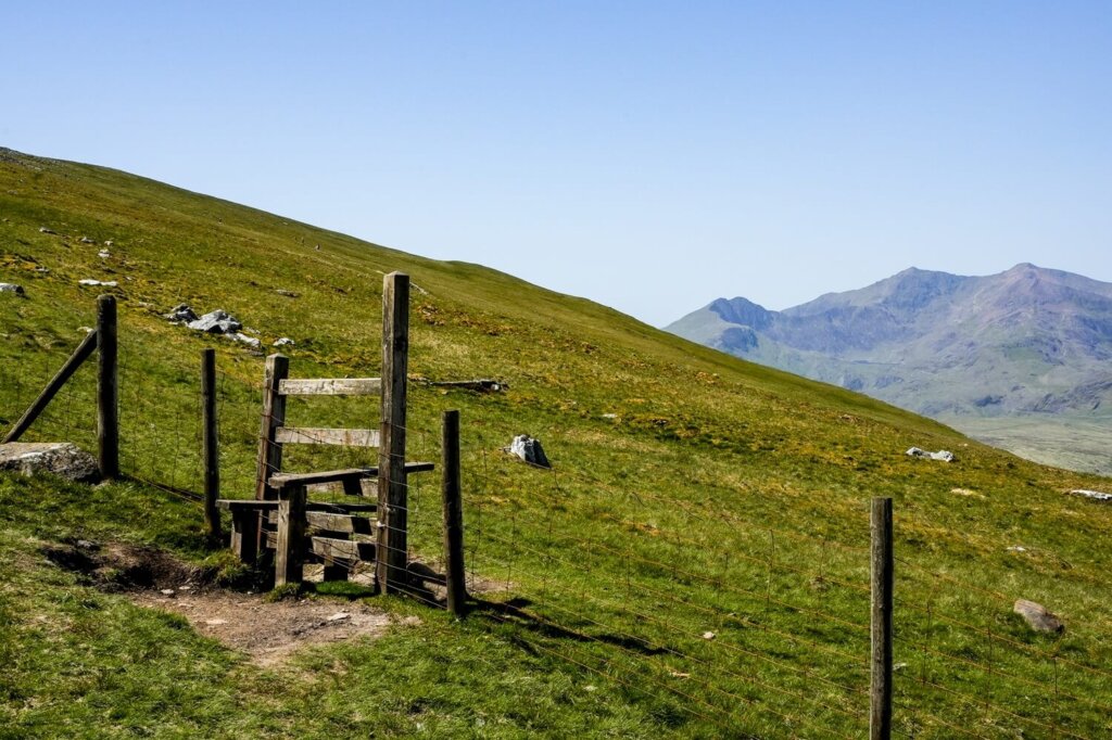
Cross the wooden style and follow the path, getting some lovely views in front of you. Soon you’ll get to the start of the steep descent. Watch your step here as this section is a mix of loose rocks and grass and can be quite muddy and slippery. You may need to use your hands in places, or your hiking poles as aids. We dropped down quite quickly, straight into a boggy area, until we reached the wooden style where we re-joined the initial track. From here, just walk back towards the A5 and your vehicle the exact same way you came in the morning.
Practical Information About the Moel Siabod Walking Trail
How to Get to the Trailhead / Where to Park for Moel Siabod
The trailhead for Moel Siabod is located along the A5, about 4.3 miles west of Betws-y-Coed and 1.2 miles from Capel Curig.
Free parking is available in the car park next to Bryn Glow B&B. If the car park is full, you can park in one of the lay-bys on the side of the A5.
If travelling by public transport, the nearest train station is Betws-y-Coed. From there, you can use the Sherpa’r Wyddfa bus service (S1) and T10 and get off at Cyfyng Falls bus stop. See the timetables here.
Best Time to Hike Moel Siabod
We personally recommend planning your hike between the end of spring and start of autumn. You’ll be in North Wales, where the weather conditions can change quickly. You essentially want to have a relatively clear day, as missing out on the views would be a shame. You’ll also want a dry day because there will be no shelter from the elements. Doing Daear Ddu ridge in the pouring rain would be more challenging. If you have a lot of hiking and navigating experience, it’s perfectly doable in less than ideal weather conditions though. Nevertheless, low visibility, rain, wind and even very hot temperatures can make this walk more dangerous.
Our best advice is to check either the Met Office or the Mountain Weather Information Centre (MWIS) on the morning of your planned hike.
Luckily, Moel Siabod will be nowhere near as busy as Yr Wyddfa (Snowdon) or the Ogwen Valley. However, it’s definitely an easier walk and scramble compared to some of the other peaks in Eryri, so expect to see more fellow hikers on the trail on a sunny day and/or on weekends and holidays.
What to Wear and Bring with You
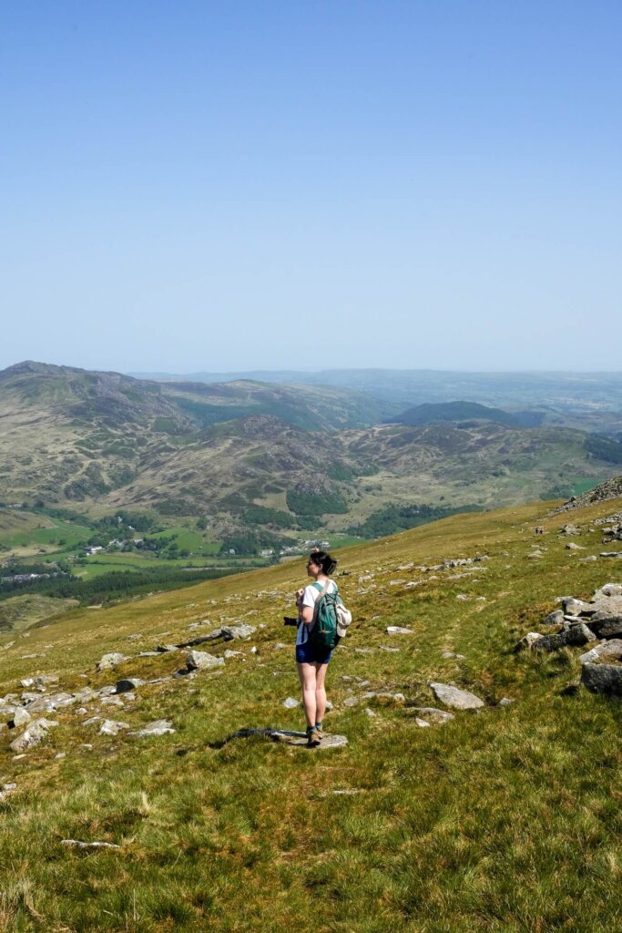
Normally, North Wales is rather wet and conditions can change quickly the higher up you go. Therefore, wear weather appropriate clothing when attempting this trail. You’ll be exposed the whole time, so make sure you check the weather forecast before you set off and have a few waterproof and warm layers with you. You might feel a bit cooler along the top but warmer lower down, or whilst your descending or ascending. If it’s a sunny day, don’t forget to bring enough sun protection.
Many accidents happen due to people not wearing proper walking/hiking shoes or boots. Therefore, we can’t emphasize enough that you should wear hiking appropriate footwear with a good grip for scrambling. I personally prefer boots for the extra ankle support. Hiking poles can aid you on the downhill sections or when going through the boggy parts of the trail.
Pack your own lunch and snacks and have plenty of water and hot drinks with you, depending on the weather. During your ascent you’ll be sweating a lot more, so you’ll want to keep hydrated and have enough energy to carry on.
Please Note! Whatever you bring with you, make sure you either take it home or dispose of it responsibly. We suggest bringing a bin bag with you which you can collect all your waste in. Enjoy your time in nature but Leave No Trace!
Final Thoughts on Hiking Moel Siabod via Daear Ddu Ridge
Whilst everyone flocks to hike the most iconic peaks in Eryri, Moel Siabod actually lets you enjoy the views of almost all the Welsh 3000ers. The trail is pretty easy to follow and we liked that we could either make it more challenging with the Grade 1 scramble or avoid it altogether. We did this walk on a very hot day, so starting early and having plenty of water was crucial to avoid heat exhaustion. The reward was dry conditions for the scramble and perfectly clear views of the national park, which you can’t take for granted in North Wales.
Have you ever hiked Moel Siabod via Daear Ddu ridge in Eryri before? If so, what was your experience like? If not, would you add this walk to your North Wales hiking wish list? Let us know in the comments below. Lastly, if you found this blog post useful and want to show your support, you can buy us a coffee here.
Now, let your adventure begin,

Remember…It all starts with a Pin…

The landscapes look absolutely insane!!! I guess I’d probably be a little bit scared of scrambling but the views look like it’s worth it!