

Driving Trail Ridge Road in Rocky Mountain National Park, Colorado

Have you always wanted to do a road trip that takes your breath away? If so, then you need to drive Trail Ridge Road in Rocky Mountain National Park in Colorado. Reaching heights of over 12,000 ft (3,700 m), this 48-mile long road will both literally and figuratively take your breath away. We had a lot of fun driving Trail Ridge Road, and highly recommend adding it to your Rocky Mountain National Park itinerary.
In this guide we’ve summarised our experience, which includes practical information and useful tips to make your road trip successful and unforgettable. We’ll share details on national park entry fees and passes, when the best time to drive the road is, as well as all the things to see and do along the route.
Disclosure: This post may contain affiliate links, which means we may receive a small commission if you click a link and purchase something. Clicking these links won’t cost you anything, but it will help us to keep this site up and running! Learn more about our affiliate policy.

What is Trail Ridge Road and Why is it Special?
Trail Ridge Road (U.S. Highway 34) is a 48-mile long road running through Rocky Mountain National Park, connecting the towns of Estes Park and Grand Lake. Reaching an elevation of 12,183 ft (3,713 m) above sea level, Trail Ridge Road is actually the highest continuous paved through road in the United States.
Due to the increasing number of vehicles, avalanches and lack of proper stopping points, Old Fall River Road – the first auto route in RMNP – wasn’t suitable any longer. (Although you can still drive Old Fall River Road one way). Construction on Trail Ridge Road began in September 1929. It was completed to Fall River Pass in July 1932, then reached Grand Lake in 1938.
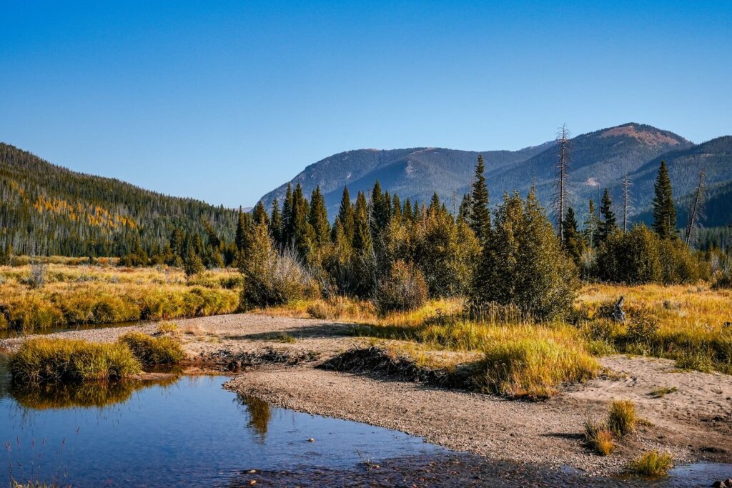
Those who drive it will be rewarded with incredible scenery around every turn, including mountain peaks, valley views and alpine lakes as far as the eye can see.
Practical Information Before Driving Trail Ridge Road in RMNP
Hire your car to drive Trail Ridge Road using Discover Cars where you can find the best rates as they compare local, national and international companies.
When Can You Drive Trail Ridge Road
Whilst Rocky Mountain National Park is open all-year-round, Trail Ridge Road is a seasonal road. It’s only open to vehicles from late May (Memorial Day Weekend) to mid-October. In winter the road is usually covered in a very thick layer of snow, so it essentially becomes inaccessible for vehicles. During this time, the road can only be used for snowshoeing or cross-country skiing.
However, bear in mind that the road can be shut on any given day due to extreme weather conditions. Only a week after our visit in mid-September, it closed because of a snowstorm.
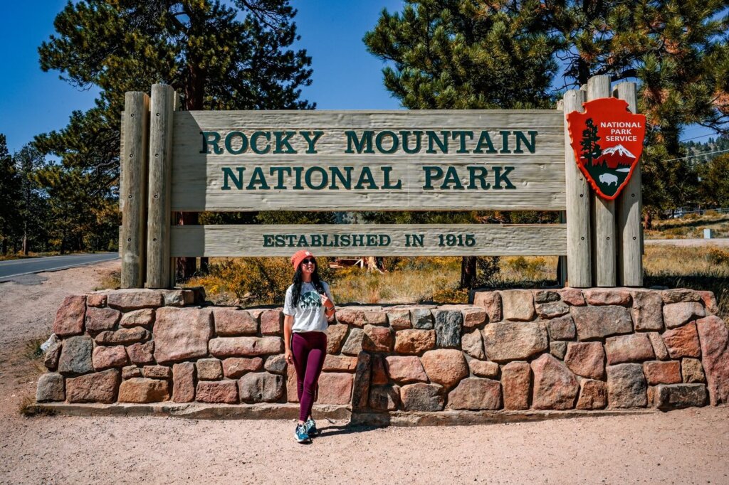
Rocky Mountain National Park Entry Pass
You need an entry pass to visit Rocky Mountain National Park. You can buy it in person at the access point or online in advance. We suggest the latter, especially if you start your drive early.
Vehicle entry fees to Rocky Mountain National Park:
- 1-day private vehicle – $30
- 7-day private vehicle – $35
- Annual RMNP pass – $70
Luckily, you only need to buy one vehicle pass even if there are multiple people accompanying you on the road trip. We suggest purchasing the 7-day pass, which is much better value for money if you’re spending a few days in the park.
If you’re visiting other national parks in the US during your trip, then consider getting the America the Beautiful Pass. This is only $80 and lets you access all the national parks in the country for 12 months.
Get up-to-date information on prices and discount options on RMNP’s official website.
Rocky Mountain National Park Timed Entry Permit
Between May and October (when Trail Ridge Road is open) you’ll also need a timed entry permit between 9 AM and 2PM in addition to the RMNP day/annual pass. However, you can drive into the park before 9 AM or after 2 PM without a timed entry reservation.
On the website there will be a “timed entry option” and a “timed entry + Bear Lake Road Access” option. You’ll only need the “timed entry option” if you’re solely driving along Trail Ridge Road.
The permit is only an extra $2 on top of your RMNP entry pass. Permits are released on the 1st of the month at 8AM MST, one month prior to the dates of entry. They usually add additional permits each night at 7PM MST for the following day though. The early entries get booked up pretty fast, so keep that in mind when planning your road trip. It’s also important that you enter RMNP within the 2-hour window of your chosen time slot.
You can book tickets and find more up-to-date information on the RMNP Timed Entry Permit page.

Is Trail Ridge Road Safe to Drive
Trail Ridge Road is generally safe to drive, but there are a few things you should be aware of to help you prepare for your road trip.
Although there’s no need for a special vehicle to drive the road, you have to make sure that your car is up for the drive. Do all the necessary safety checks to limit your chances of breaking down.
There are no gas stations inside Rocky Mountain National Park, so make sure to enter the park with a full tank. You can fill up either in Estes Park or Grand Lake.
Another thing you have to factor in is the unpredictable mountain weather. You can literally experience four seasons during your drive, even in the middle of summer. Wind, cold temperatures, rain, snow, sunshine and thunderstorms can all happen in the space of a day.
11 miles (17.7 km) of Trail Ridge Road is located above the tree line. There are steep drop-offs and hairpin switchbacks with no guardrails. Wildlife can be present on the road, so always drive carefully.
Let’s not forget about the high altitude. The road reaches 12,183 ft (3,713 m) above sea level, so you can get altitude sick if you haven’t acclimatised properly. We recommend spending a day around Estes Park, and perhaps go on a shorter hike, such as the Bear Lake Loop or the Emerald Lake Trail, to get used to the higher elevations.
Which Direction Should You Drive Trail Ridge Road in
It doesn’t really matter which direction you drive Trail Ridge Road. In fact, if you’re staying in Estes Park, then you’ll most likely have to drive it in both directions.
We actually drove along Old Fall River Road first, which is another scenic road in Rocky Mountain National Park. This one-way road ends at the Alpine Visitor Center, from where we carried on driving along Trail Ridge Road towards Grand Lake. Just before leaving the national park, we turned around and drove back to Estes Park to see everything we’d missed along Trail Ridge Road between Beaver Meadows and the Alpine Visitor Center.
Facilities Along Trail Ridge Road
There are flush or vault toilets at many points of interest, including at Beaver Meadows Visitor Center, Hidden Valley, Rainbow Curve, Rock Cut, the Alpine Visitor Center, Milner Pass and the Kawuneeche Visitor Center.
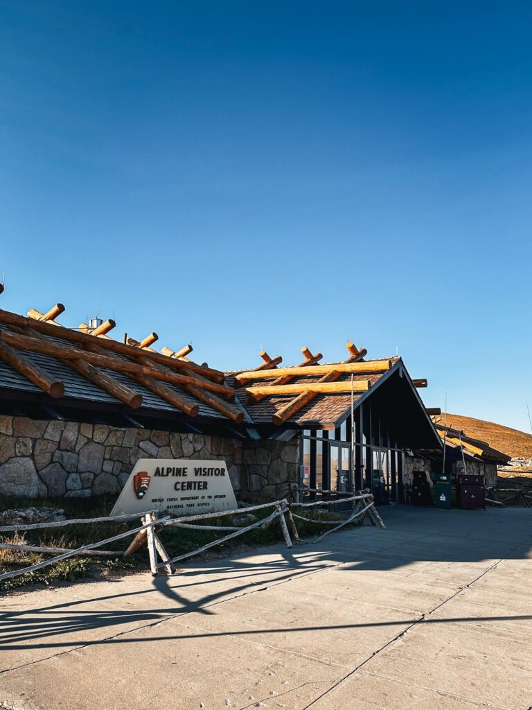
The Alpine Visitor Center is probably one of the most popular stops, as it has a large parking area, a café offering a selection of food and drinks, as well as a gift shop and a small exhibit. Right next to it is the Trail Ridge Store, which is a large gift shop and dining area.
We still highly recommend packing enough food and drinks with you for the day. Whatever you bring with you, make sure you either take it home with you or dispose of it responsibly. Enjoy your time in nature but Leave No Trace!
Map of the Trail Ridge Road, RMNP, CO
Trail Ridge Road Quick Statistics:
- Start and End: Estes Park / Grand Lake
- Total Length: 48 miles / 77 km (one-way)
- Highest Point: 12,183 ft / 3,713 m
- Opening Times: End of May – Mid October
Things to See and Do Along Trail Ridge Road
Below we’ve listed a variety of stops to consider adding to your road trip when going from Estes Park to Grand Lake.

Many Parks Curve Overlook
The first ‘official’ lookout is Many Parks Curve. Located at 9,640 ft (2,938 m) above sea level, this overlook gives you fantastic views of many peaks in the national park. There’s a short boardwalk hugging the curve of the road between two car parks.
Safety Tip. Although there’s a zebra crossing to get to the boardwalk, the visibility isn’t great. So, make sure to look properly before crossing.


Rainbow Curve Overlook
The next lookout along Trail Ridge Road is at Rainbow Curve. We recommend stopping at this one too, as it faces the other direction to Many Parks Curve. It’s a decently sized viewing area, offering a closer look at some of the mountain peaks, and we could also see down to the Hidden Valley area we’d just driven up from.
After rainfall, you can often see rainbows here, hence the name. We weren’t fortunate enough to see them, but you never know in the mountains.
Safety Tip. This viewpoint is around 10,830 ft (3,300 m), so you’ll have gained elevation pretty quickly after Many Parks Curve. Watch out for any symptoms of altitude sickness, such as a headache. Don’t forget to hydrate!

Forest Canyon Overlook
Another lookout that’s 100% worth a stop is Forest Canyon. There’s a large car park and a short trail that takes you through the tundra to the viewing area. The mountain views here were amazing and once we’d gotten to the end of the trail we could see Forest Canyon below us.
Make sure to always stay on the dedicated footpath! The tundra, meaning “land of no trees”, is a very fragile ecosystem that could take decades to recover, so don’t walk on it.
Safety Tip. Forest Canyon Overlook is 11,715 ft (3,570 m) above sea level. Along the short trail, you can really test out how you’re handling the altitude. Take it easy on the path and walk slower to give your body time to adjust.
Rock Cut & Tundra Communities Trail
The next place we recommend stopping at along the road is the Tundra Communities Trailhead. You’ll drive through Rock Cut, which made us appreciate the amount of work it must’ve taken to build Trail Ridge Road. You can’t stop here though, so drive with care whilst you’re looking.
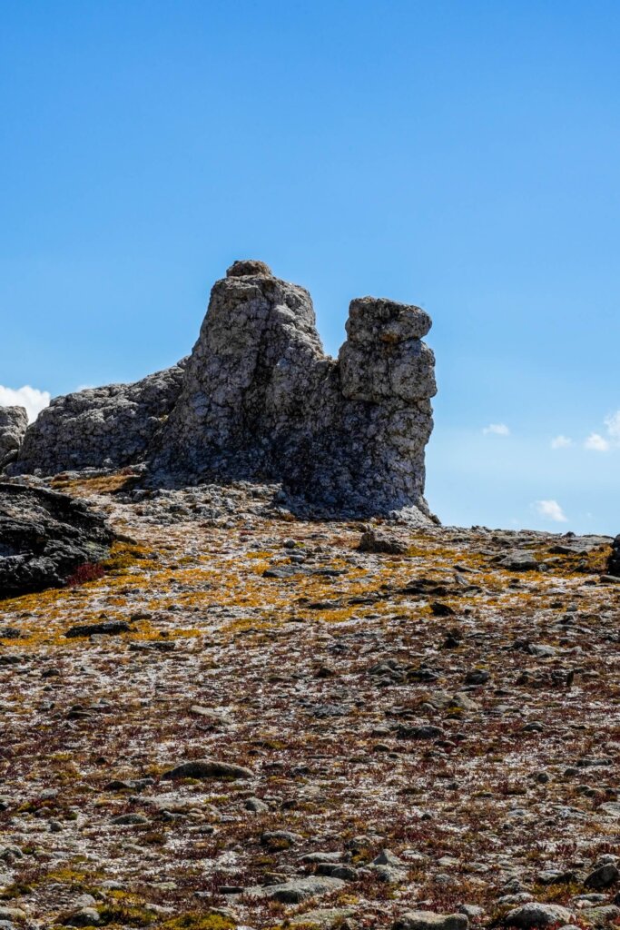
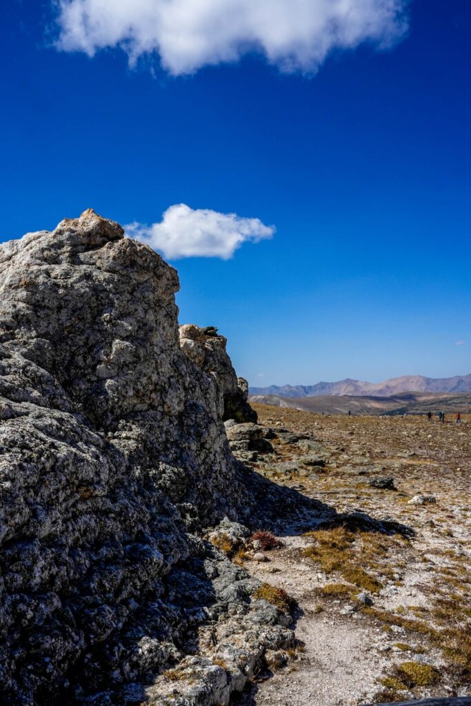
There’s a car park shortly after passing Rock Cut. From here, you can embark on a short trail through the tundra. Along the path there were a few signs about the communities that live at this high altitude. The highlight of the Tundra Communities Trail are the Mushroom Rocks. They reminded us of the fairy chimneys in Cappadocia, Turkiye. At the end of the trail is the Roger Toll Memorial dedicated to Roger Toll, the former superintendent of Rocky Mountain National Park from 1921 to 1929. Please stay on the marked trail to protect the fragile tundra.
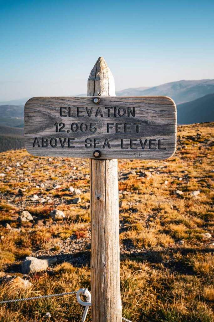
Safety Tip. The trailhead is around 12,050 ft (3,673 m) above sea level. You’ll gain about 164 ft (50 m) of elevation along this short trail, so take your time.

Lava Cliffs Overlook
The next viewpoint before driving to the highest point along Trail Ridge Road is the Lava Cliffs Overlook. It may seem like just another viewpoint, but the massive cliff to the left of the above picture is actually volcanic rock. It was created about 28 million years ago, when a lava flow traveled here from the Never Summer Range. The hillside you see today was cut open by moving glaciers.
Trail Ridge Road Summit
Okay, this is technically not a proper stop as there are no designated parking areas. The only reason we’re mentioning it is because – as you may have guessed by the name – it’s the highest point along Trail Ridge Road at 12,183 ft (3,713 m).
Just enjoy the scenery here as you drive towards your next proper stop.
Gore Range Overlook
The next viewpoint is Gore Range Overlook. From there, you can enjoy views of the Never Summer Mountains and the Gore Range. You can also see the flat top of Long’s Peak, which is the highest peak in Rocky Mountain National Park.
Alpine Visitor Center & Alpine Ridge Trail
The Alpine Visitor Center is a very popular stop along Trail Ridge Road. Since we drove along Old Fall River Road first, this was our first official stopping point on Trail Ridge Road. We were there early in the morning, so the car park was empty. When we stopped here again to use the toilet in the afternoon, it was much busier.
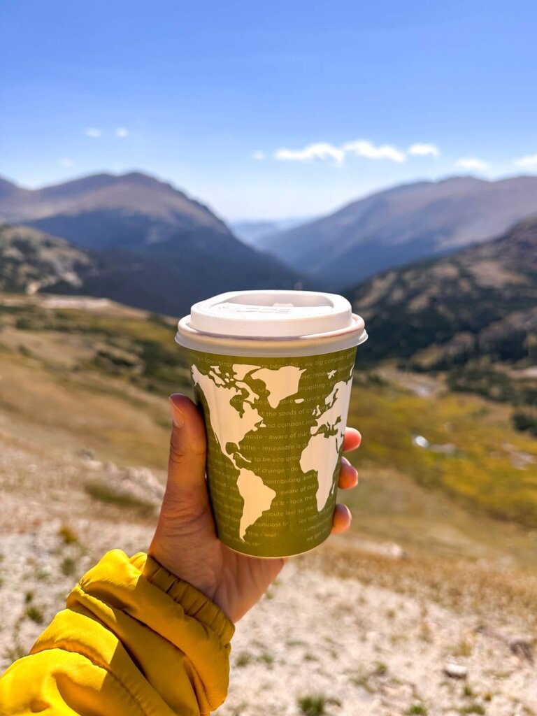
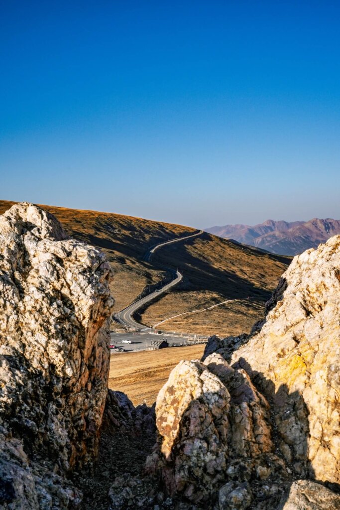
The visitor center is actually the highest facility in the entire national park. It has toilets, an exhibit and a small gift shop. Right next to it is the Trail Ridge Store, which is a larger gift shop and café. We got a hot chocolate here, which was well-needed in the chilly temperatures. From the lookout, we could enjoy some beautiful views of Old Fall River Road and the surrounding area.
We also walked up the 0.3 mile (0.5 km) long Alpine Ridge Trail. It has an elevation gain of about 130 ft (40 m), but offered us panoramic views of the national park. It was also a great way to stretch our legs before we continued driving further. Once again, make sure to stay on the marked trail to avoid damaging the fragile tundra.

Medicine Bow Curve
After leaving the Alpine Visitor Center, you’ll begin your descent. If you want, you can pull into the small car park at Medicine Bow Curve. From here, you can enjoy views of the northernmost areas of the national park.
The viewpoint is named after the Medicine Bow Mountains that are located in the state of Wyoming. On a clear day, you can just about see them in the distance. There’s also a short walking trail through the tundra.


Milner Pass & the Continental Divide
A must-see place along Trail Ridge Road is the Continental Divide at Milner Pass. The Continental Divide is an imaginary line that stretches from the western tip of Alaska in North America all the way to Tierra del Fuego at the southernmost tip of South America. Depending on which side of the line the water is, it will flow either towards the Pacific Ocean or the Atlantic Ocean.
Rocky Mountain National Park is one of the places you can see this phenomenon, as the Continental Divide passes right through it. Don’t forget to check out the views at Poudre Lake, just to the left of the Continental Divide sign. From here, you can also hike up to Mt Ida, which is about a 9.5 mile (15 km) roundtrip. Unfortunately, we didn’t have time for this hike.

Farview Curve Viewpoint
The last proper viewpoint along Trail Ridge Road is Farview Curve. It provides some lovely views of the Never Summer Mountain Range, as well as the Kawuneeche Valley and the Colorado River. Although the views were a bit obstructed by trees, it was a nice change of scenery compared to the tundra higher up.


Holzwarth Historic Site
Up until now, the attractions along Trail Ridge Road have mainly been natural ones. However, if you want to see what life looked like back in the early 1900’s, we recommend stopping at Holzwarth Historic Site.
There’s one traditional cabin next to the car park, however we suggest doing the 1.1 mile (1.8 km) round trip through the meadow to see more historic buildings. The site is named after John Holzwarth Sr., a German immigrant who built a ranch here with his family in 1917.
The historic site is about 7.5 miles (12 km) from the Grand Lake Entrance to RMNP, which also marks the end of Trail Ridge Road. You can carry on driving towards the end of the road to visit Grand Lake. Just be aware that if you leave the park, you can only return after 2PM without a timed entry ticket. We turned back just before the exit because we still had a few stops that we’d missed by driving along Old Fall River Road in the morning.
Best Places to Stay in Estes Park
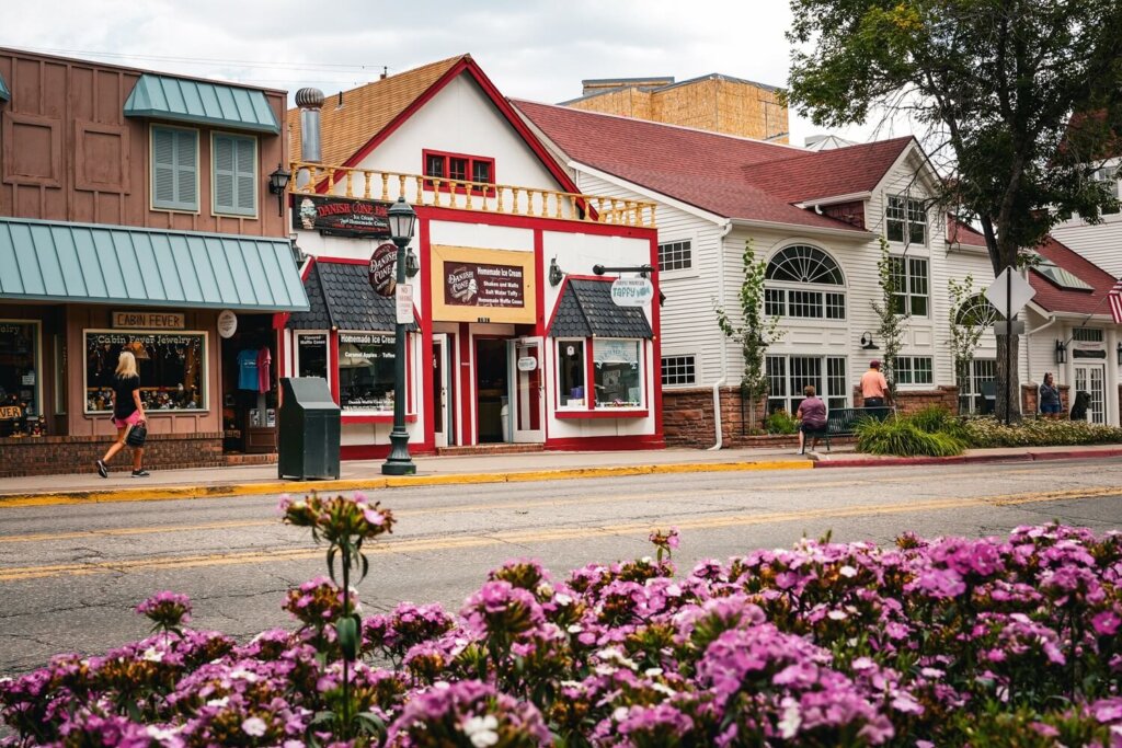
If you want to get to Rocky Mountain National Park early, we highly recommend staying in Estes Park. The town itself is beautiful and has its very own resident elk, who roam the streets freely. There are also plenty of food and shopping options in Estes Park, so it’s a fantastic place to base yourself if you want to do multiple hikes in Rocky Mountain National Park.
Hotels in Estes Park
- Expedition Lodge Estes Park
- Alpine Trail Ridge Inn
- Murphy’s River Lodge
- Hotel Estes
- The Estes Park Resort
- YMCA of The Rockies Estes Park
Additional Things to Do in Rocky Mountain National Park
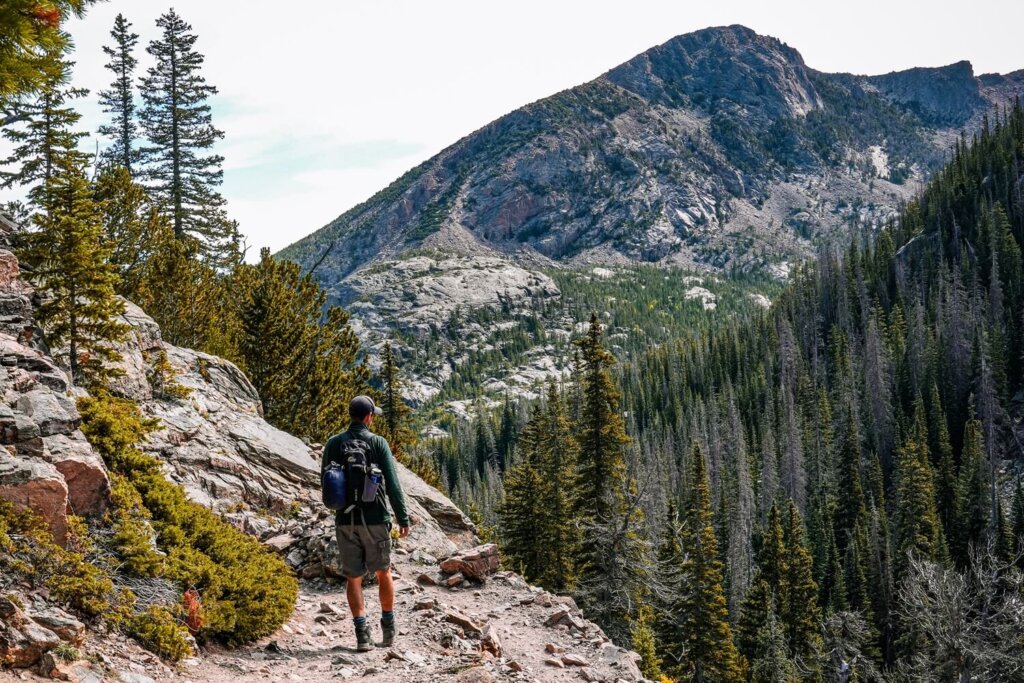
There’s definitely no shortage of things to do in Rocky Mountain National Park. It’s a hiker’s paradise. We could easily have spent a few months there and still found new hiking trails to complete. However, if you only have a couple of days, then below are a few things that you should consider adding to your itinerary.
Hiking Trails in RMNP
- Bear Lake Loop Trail (easy hike)
- Sprague Lake Loop Trail (easy hike)
- Emerald Lake Trail (moderate hike)
- Sky Pond Trail (moderate to hard hike)
- Short and Easy Hikes in RMNP
Other Scenic Roads in RMNP
Final Thoughts on Driving Trail Ridge Road in RMNP
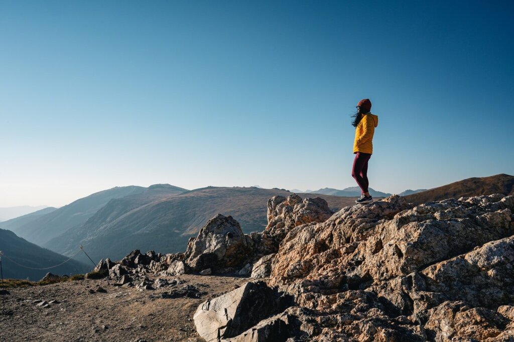
Trail Ridge Road is definitely one of the most scenic roads we’ve ever driven on. We loved that every lookout point offered us a different view of Rocky Mountain National Park. It was also great that there were many shorter or longer hiking trails to choose from, even though we only had time for the shorter ones in a day.
In hindsight, we could’ve easily done this drive over two days to fit in a few longer trails, such as the one to Mt Ida. Nevertheless, it was still a fun road trip which made us fall in love with Rocky Mountain National Park all over again.
Now, let your adventure begin,

Remember…It all starts with a Pin…


I was just there 2 weeks ago, and did not drive the road. I had a limited time, but wish I would have done it now. great blog, great info on the passes and the extra $2 to spend for timed entry permit, as many people dont realize.
It’s definitely a fun road to drive, but there’s just so much to do in RMNP! We only had about 4 days and had to miss many great hikes too. At least it gives us a reason to return no? 🙂
Your post made Trail Ridge Road sound like such an amazing experience. The mix of practical tips, like when to go and where to stop for the best views, was really helpful. After reading it, I feel like I’d really enjoy driving there myself one day.
Thank you so much. Yes we loved that there were a lot of fun stops along the way, so we just took our time driving along the route.
Great guide! Love a good road trip. I need to get out to Colorado at some point.
Yes we love road tripping too! And Colorado has some incredibly scenic roads to drive along.
We try to drive Trail Ridge Road once a year to get from the Boulder to the Grand Lake side. As you mention, it’s a beautiful drive and well worth the time to stop at the many overlooks. We like to enter via the Fall River entrance so that we drive past Sheep Lake. We often see moose or sheep there.
Driving Trail Ridge Road once a year sound like a fun tradition! Wish we lived closer to the national park to see it in different seasons and have a higher chance to see more wildlife. Seeing moose would’ve been so amazing!
Thanks for sharing, this looks a great trail to do, when visiting Colorado 🙂
Thank you so much!