

Short and Easy Hikes in Rocky Mountain National Park in Colorado

Boasting 335 miles of hiking trails, Rocky Mountain National Park in Colorado is a hiker’s paradise. If you’re only visiting for a short time, it can be overwhelming trying to pick which ones are right for you. Since the national park is located at high altitude, we wanted to do some easy hikes to acclimatise before taking on the more challenging trails in the park. In this guide, we’ll list some of our favourite short and easy hikes that we managed to do during our stay in Rocky Mountain National Park.
These easier hikes are great for acclimatisation, for novice hikers, or for those of you who have limited time and just want to see as much of the park as possible. You can definitely do many of these trails all in one day.
Disclosure: This post may contain affiliate links, which means we may receive a small commission if you click a link and purchase something. Clicking these links won’t cost you anything, but it will help us to keep this site up and running! Learn more about our affiliate policy.
Short and Easy Hikes in Rocky Mountain National Park in Colorado
Note. Although these hikes are generally short and easy, they’re still all at high altitude. Don’t forget to read our altitude sickness section below in preparation.
1. Bear Lake Loop
- Trailhead: Bear Lake Car Park (9,475ft / 2,888m)
- Distance: 0.7 miles / 1.1 km (loop hike)
- Altitude: 9,475ft / 2,888m
- Elevation Gain: 50 ft / 15 m
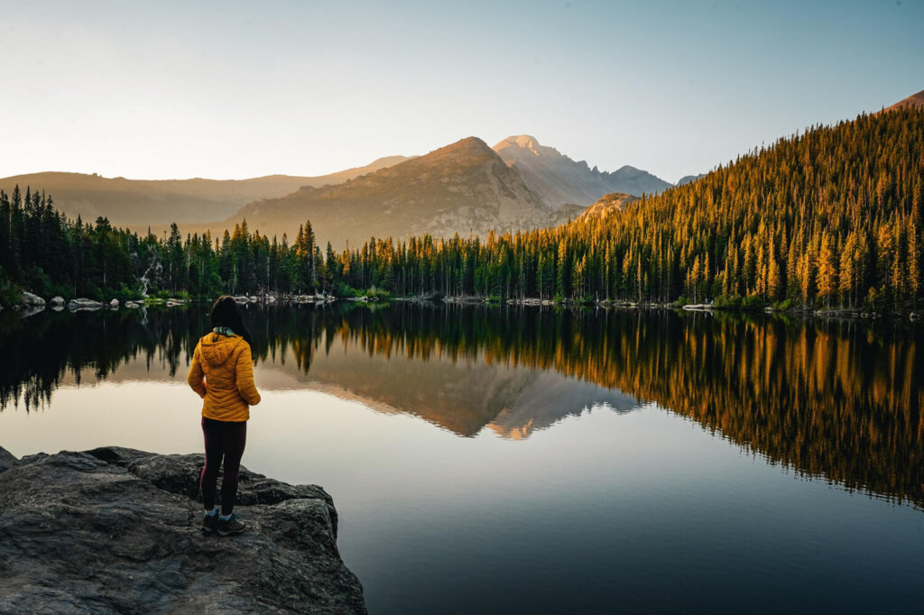
One of the most popular easy hikes in Rocky Mountain National Park is the Bear Lake Loop. This short trail winds around the shores of Bear Lake, which has to be one of the most beautiful lakes in RMNP.
After passing the Ranger Station at the car park, just follow the signs towards Bear Lake. This trailhead is actually a popular starting point for many longer hikes as well, some of which we’ll mention below. We walked along the well-maintained path around the lake, surrounded by lush forest, and could enjoy views of iconic mountain peaks, such as Hallett Peak and Longs Peak.
If you want to make your visit even more special, we suggest arriving here for sunrise. During our visit the lake was very still, so we got to see some incredible reflections of the mountains and trees in the water as the sunlight first hit them.
Read our detailed guide for more information on the Bear Lake Loop.
2. Nymph Lake via Emarald Lake Trail
- Trailhead: Bear Lake Car Park (9,475ft / 2,888m)
- Distance: 1 mile / 1.65 km (out-and-back)
- Altitude: 9,711 ft / 2,960 m
- Elevation Gain: 236 ft / 72 m
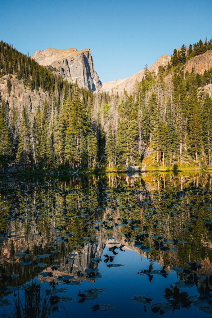
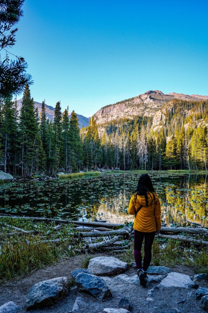
Another fantastic but easy hike from the Bear Lake Trailhead in Rocky Mountain National Park is to Nymph Lake. After completing the Bear Lake Loop we headed there next by joining the Emerald Lake path. Nymph Lake was only about 0.5 miles (0.8 km) further on from there. Unlike the Bear Lake trail, which is essentially flat, the path up to Nymph Lake was a steep and steady climb. It’s a great one to test how your body reacts to gaining elevation at altitude.
Although it was one of the smallest lakes we saw in RMNP, it was still a very beautiful alpine lake covered in pond lilies. Plus, we could see Hallett Peak towering over it in the distance, which wasn’t a bad sight either. If you start to notice symptoms of altitude sickness, then we suggest heading back to the car park. However, if you have some energy left, we recommend following the trail up to Dream Lake.
Read our detailed guide for more information on the Nymph Lake hike.
3. Dream Lake via Emerald Lake Trail
- Trailhead: Bear Lake (9,475ft / 2,888m)
- Distance: 2 miles / 3.35 km (out-and-back)
- Altitude: 9,908 ft / 3020 m
- Elevation Gain: 460 ft / 140 m
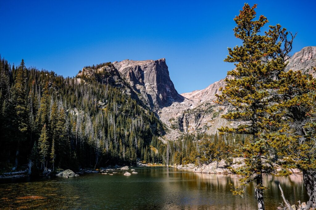
Dream Lake is only another 0.6 miles (1 km) further on from Nymph Lake and, if you’re feeling up for a little challenge, you’ll be rewarded with a fantastic payoff. This section of the Emerald Lake Trail took us out of the trees along a gorgeous ridgeline. From here we could enjoy spectacular views of the national park, including Longs Peak, which is the tallest peak in RMNP.
Dream Lake is much larger than Nymph Lake but still offers some beautiful views of Hallett Peak and Flattop Mountain. Find a nice rest spot along the shore and enjoy the views and the sunshine (if the weather conditions allow it!).
Read our detailed guide for more information on the Dream Lake hike.
4. Alberta Falls Trail
- Trailhead: Bear Lake Car Park (9,475ft / 2,888m)
- Distance: 1.9 miles / 3 km (out-and-back)
- Altitude: 9,400 ft / 2,865 m
- Elevation Gain: 341 ft / 104 m
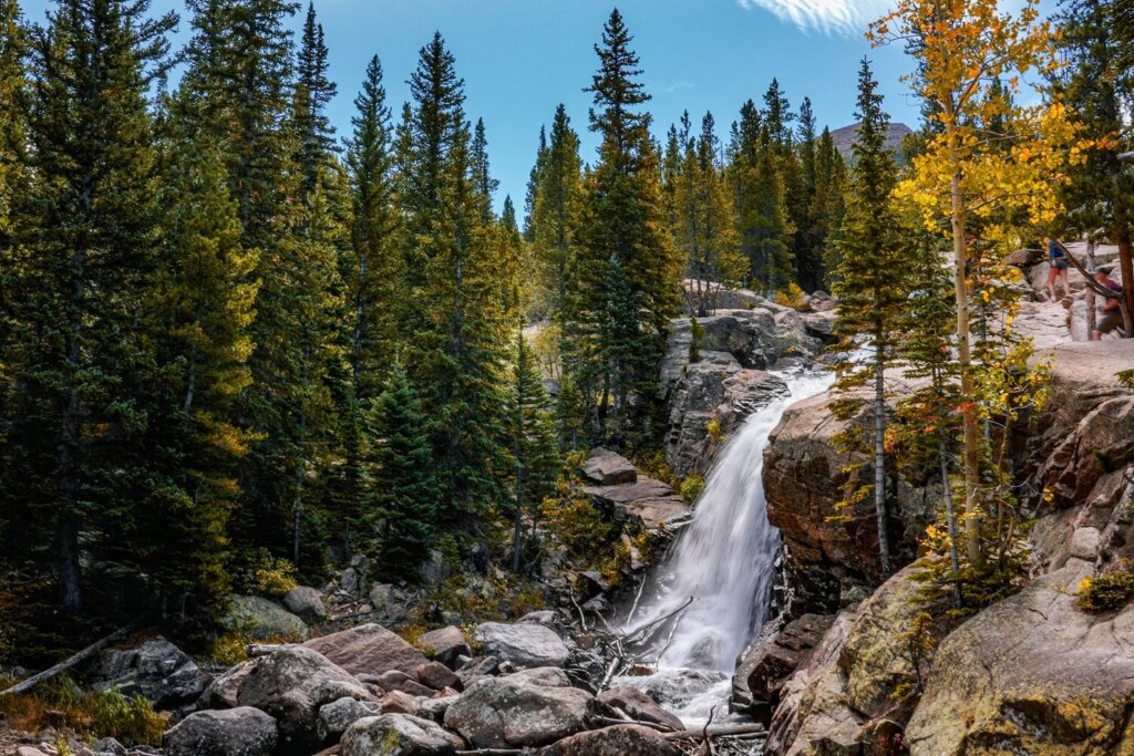
Another relatively easy hike from the Bear Lake Trailhead is to Alberta Falls, located about 1 mile (1.5 km) away. You can also start this hike from the Glacier Gorge Junction Car Park. We actually hiked to Alberta Falls en-route to Sky Pond, a more challenging high-altitude trail. However, the waterfall is worth going to see by itself.
From the car park, we took the signed footpath towards Alberta Falls / Glacier Gorge Junction. It was a steady climb where we gained about 150 ft (45 m) of elevation, which is great for testing your body at this altitude.
Alberta Falls is an impressive 30-foot (9 m) waterfall. It is named after Alberta Sprague, who was the wife of Abner Sprague, one of the first settlers in the area. The family name might sound familiar, because nearby Sprague Lake is named after her husband.
Read our detailed guide for more information on the Sky Pond Trail.

5. Sprague Lake Loop
- Trailhead: Sprague Lake Road Car Park
- Distance: 0.8 miles / 1.3 km (loop hike)
- Altitude: 8,690 ft / 2,650 m
- Elevation Gain: 36 ft / 11 m
Since we’ve mentioned Sprague Lake, and it’s also close to the Bear Lake trailhead, let’s continue our list with the Sprague Lake Loop.
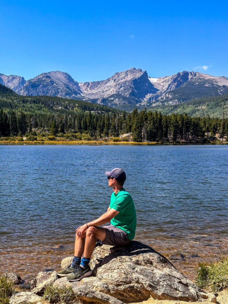
Man-made Sprague Lake is named after Abner Sprague and it was built in 1914 as an additional attraction for visitors to his tourist resort. In our opinion, Sprague Lake is still one of the most beautiful lakes in RMNP, despite it not being a natural one. The reason is the panoramic views we could enjoy as we followed the well-maintained path around its shores. We could see Half Mountain, Thatchtop Mountain, Taylor Peak, Otis Peak, Hallett Peak, Flattop Mountain and Notchtop Mountain.
We completed this loop after hiking the Emerald Lake Trail, so it was a nice cool-down stroll for us. However, watching the sunrise or sunset from this lake would be pretty amazing too.
Read our detailed guide for more information on the Sprague Lake Loop.

6. Forest Canyon Overlook
- Trailhead: Forest Canyon Car Park
- Distance: 0.3 miles / 0.5 km (out-and-back)
- Altitude: 11,716 ft / 3,571 m
- Elevation Gain: 56 ft / 17 m
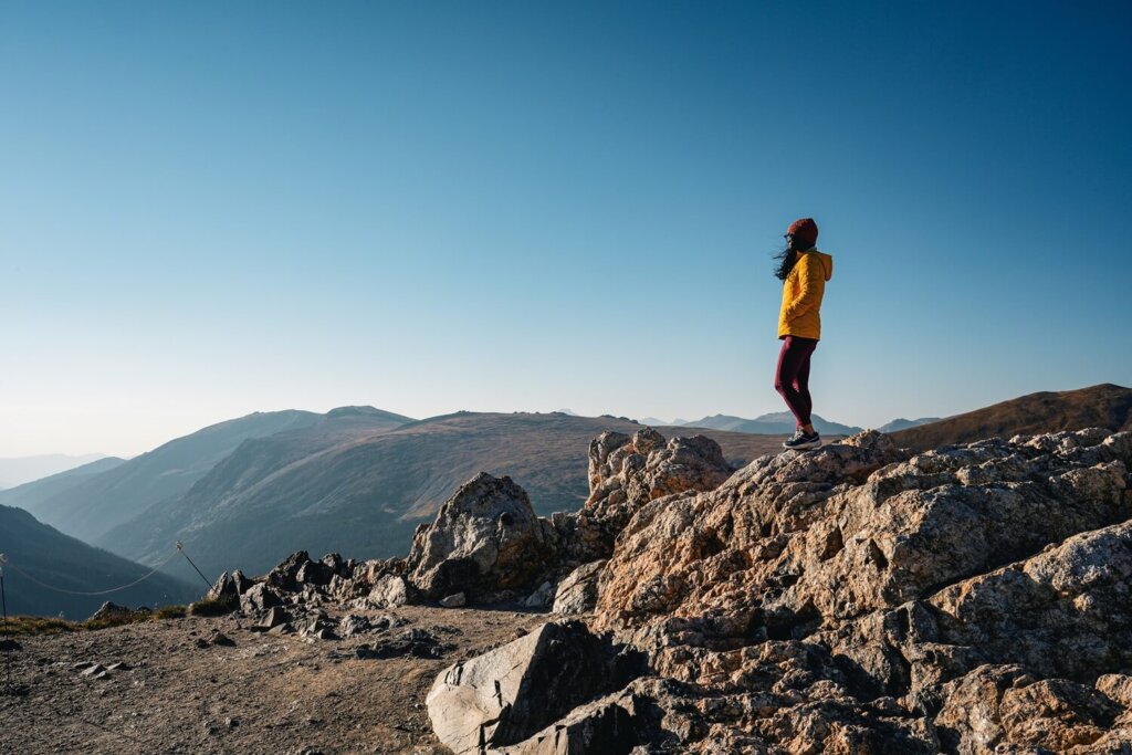
This next short hike is located along the scenic Trail Ridge Road. From the sizeable car park, the Forest Canyon trail took us through the tundra to a panoramic viewing area. The mountain views here were amazing and once we’d gotten to the end of the trail we could see Forest Canyon below us.
Although the length and elevation gain of the Forest Canyon trail looks like nothing, the high-altitude is what you need to be mindful of. Being just below 12,000 ft is not easy on the body and even a slight uphill can feel like a mountain. Take it easy on the path and walk slowly to give your body time to adjust.
Make sure to always stay on the dedicated footpath! The tundra, meaning “land of no trees”, is a very fragile ecosystem that could take decades to recover, so don’t walk on it.
Read our detailed guide for more information on driving Trail Ridge Road.
7. Tundra Communities Trail
- Trailhead: Rock Cut Car Park
- Distance: 1.1 miles / 1.75 km (out-and-back)
- Altitude: 12,050 ft / (3,673 m)
- Elevation Gain: 171 ft / 52 m
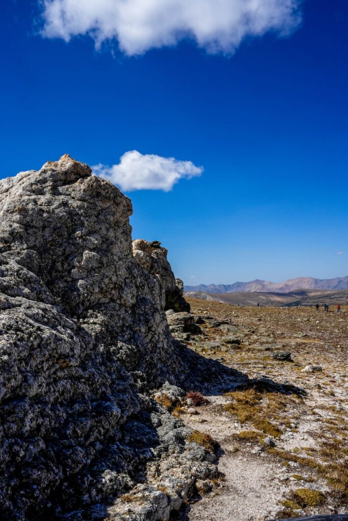
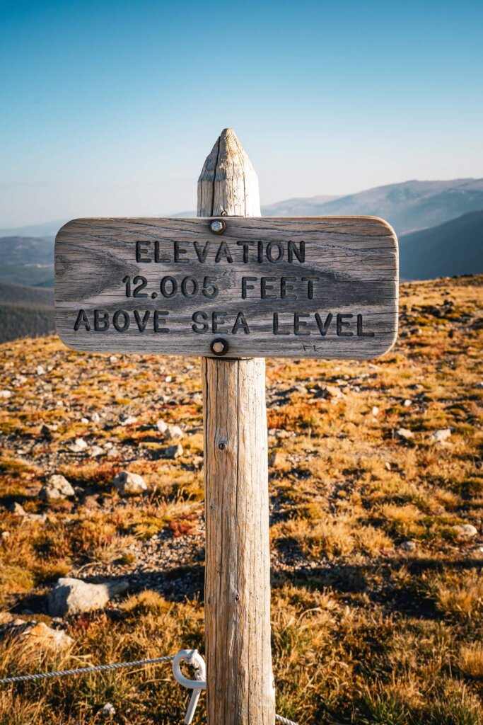
Another short trail along Trail Ridge Road that will definitely take your breath away is the Tundra Communities Trail. This trailhead is located over 12,000 ft above sea level and took us through the tundra on a well-maintained path. Along the way there were a few information boards about the communities that live at this high altitude.
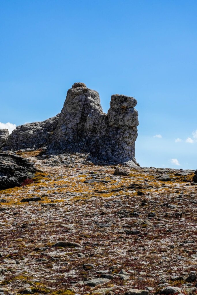
About halfway along the trail we came across Mushroom Rocks, which reminded us of the fairy chimneys in Cappadocia, Turkiye. If you’re struggling with the altitude, then consider turning back after these rock formations. If not, carry on to the end of the trail, where you’ll find the Roger Toll Memorial. It’s dedicated to Roger Toll, the former superintendent of Rocky Mountain National Park between 1921 and 1929.
Always stay on the marked trail to protect the fragile tundra!
8. Alpine Ridge Trail
- Trailhead: Alpine Visitor Center Car Park (11,796 ft / 3,595)
- Distance: 0.6 miles / 1 km (out-and-back)
- Altitude: 12,000 ft / 3,658 m
- Elevation Gain: 130 ft / 40 m
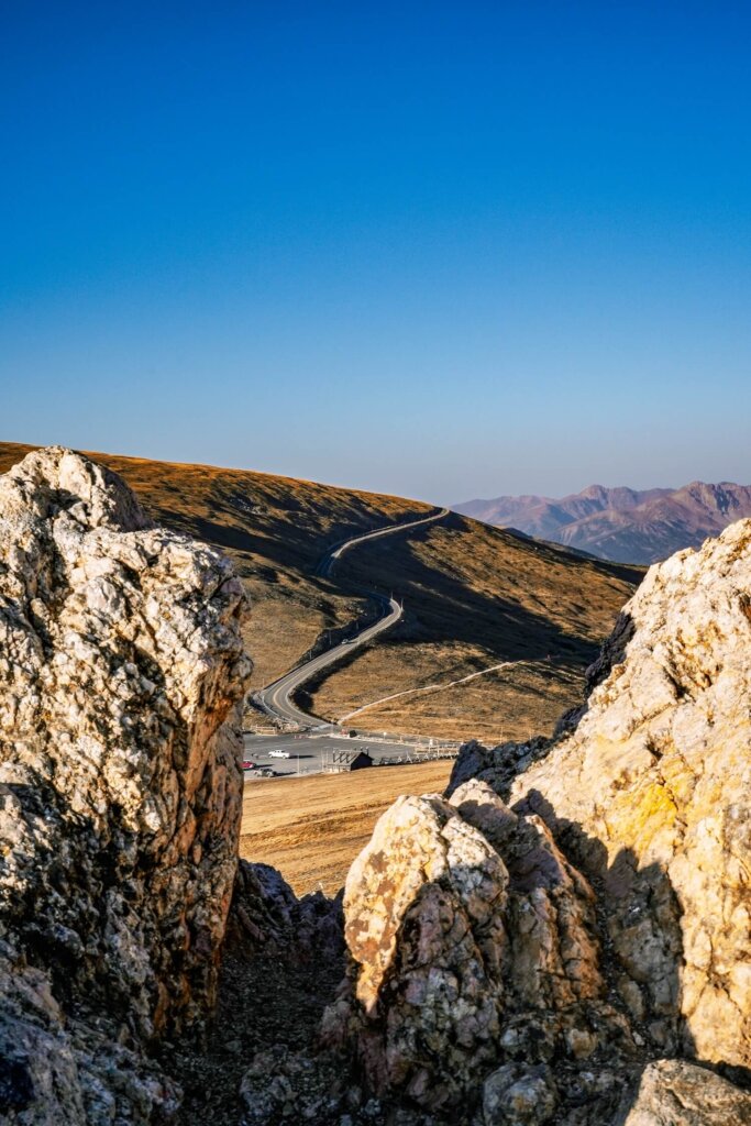
The last easy trail, that’s also around 12,000 ft above sea level, is the Alpine Ridge Trail. Once again, the trail took us through the tundra, with panoramic views of the national park waiting for us at the end. Make sure to stay on the marked trail to avoid damaging the fragile ecosystem.
It’s quite a popular trail thanks to its closeness to the Alpine Visitor Center and Trail Ridge Store, which are located at the trailhead. This visitor centre is the highest facility in the entire national park, and has toilet facilities, a café and a gift shop. If you’re arriving later in the day, expect the car park to be pretty busy.
Read our detailed guide for more information on driving Trail Ridge Road.
9. Holzwarth Historic Site
- Trailhead: Holzwarth Historic Site Car Park
- Distance: 1.25 miles / 2 km (out-and-back)
- Altitude: 8,884 ft / 2,707 m
- Elevation Gain: 52 ft / 16 m
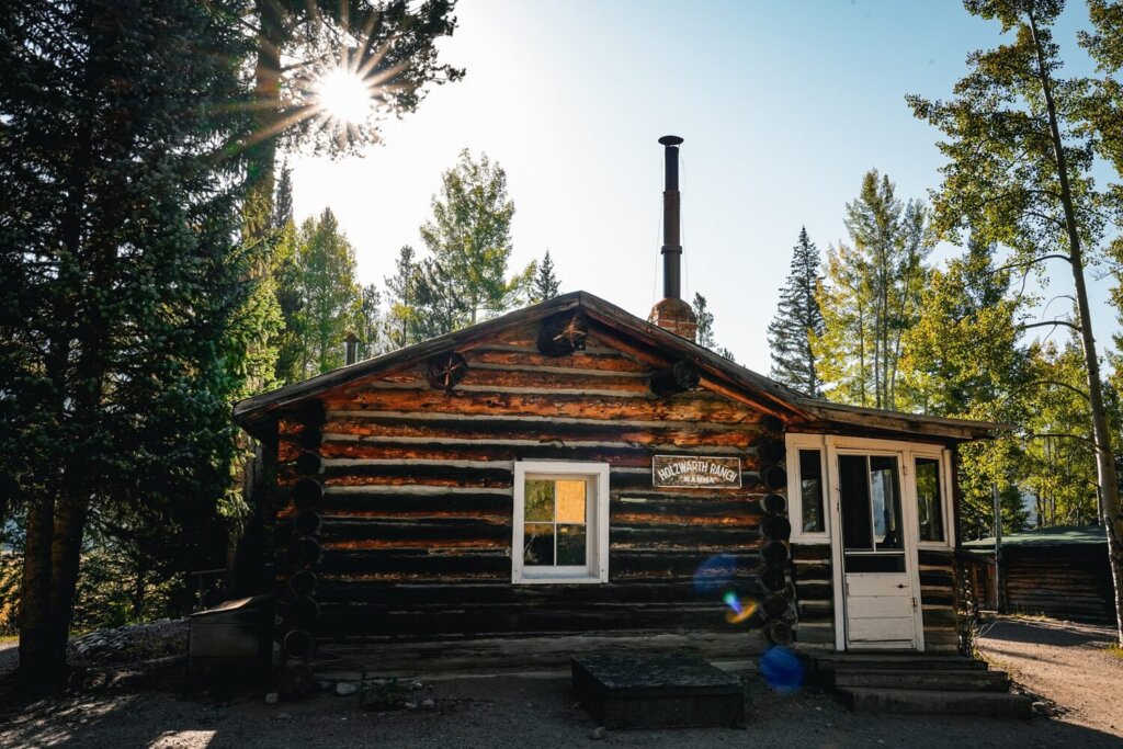
The Holzwarth Historic Site trail is the lowest altitude hike on this list. It is named after John Holzwarth Sr., a German immigrant who built a ranch here with his family in 1917.
What was different about this trail was that along the path we could see what life would have looked like back in the early 1900’s. Right at the car park, we saw an old miner’s cabin which was apparently built by Joseph Fleshuts in 1902. Leaving the car park, we followed the wide dirt / gravel road, which offered us some beautiful views of the Kawuneeche Valley. The trail took us across the Colorado River, where you can often spot moose (although we didn’t spot any unfortunately). Then we arrived at the main site, where there were many different traditional cabins scattered about.
Top Tip. If you’re visiting between Memorial Day and Labor Day, the buildings will be open and staff will offer tours every day from 9.30 AM until 2.30 PM.
10. Chasm Falls
- Trailhead: Chasm Falls Car Park
- Distance: 0.15 mile / 0.25 km (out-and-back)
- Altitude: 9,022 ft / 2,750 m
We thought that we would add this incredibly short walk to our list, even though it probably won’t be a visitors first choice when coming to RMNP. This is because Chasm Falls is located along Old Fall River Road, a scenic but definitely lesser driven road in the national park.
Old Fall River Road was actually the first auto route offering access to RMNP’s high country before they built the well-travelled Trail Ridge Road. For a few months a year this road is opens to drivers who want to experience a thrilling drive through a much quieter part of the national park.
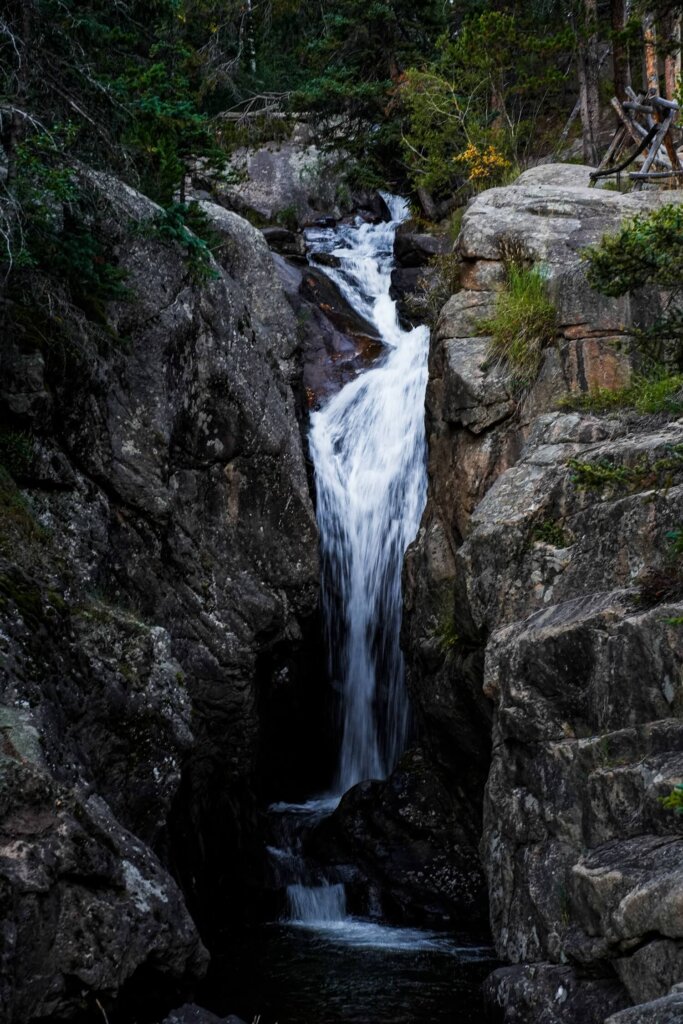
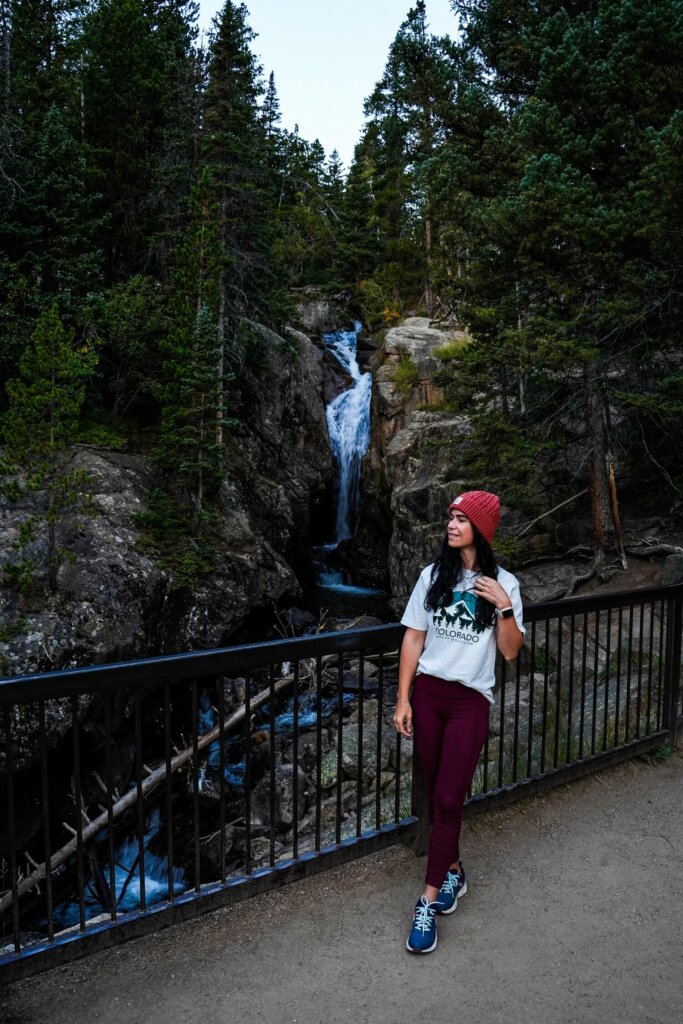
The most notable landmark along the route is the 25-ft Chasm Falls, which can be viewed from a nearby viewing platform. Although the trail from the small car park is short, it’s quite steep when coming back up.
Practical Information about Rocky Mountain National Park
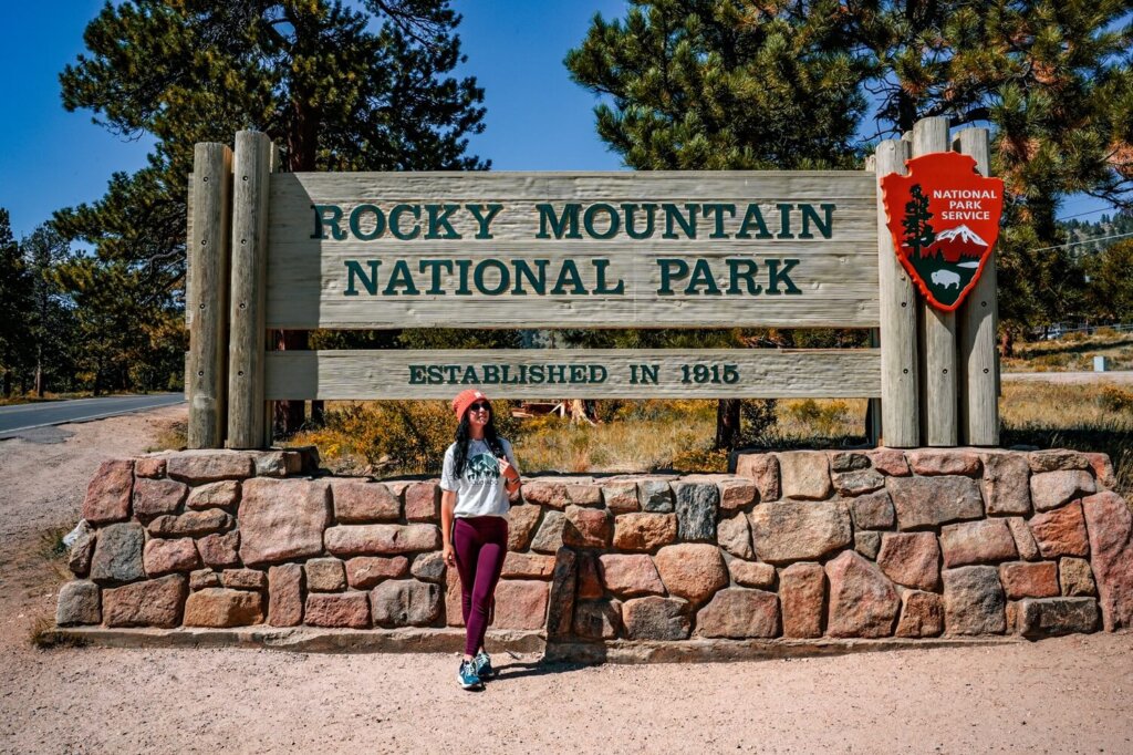
RMNP Entry Fee
An entry pass is required to visit Rocky Mountain National Park. There’s an option to buy your entry ticket at one of the four entrance stations: Beaver Meadows Entrance, Fall River Entrance, Wild Basin Entrance and Grand Lake Entrance. However, we suggest purchasing it online in advance, especially if you want to set off early and complete a few different trails.
Entry fee to Rocky Mountain National Park:
- 1-day private vehicle – $30
- 7-day private vehicle – $35
- 1-day per person – $15
- 7-day per person – $20
- Annual RMNP pass – $70
You only have to buy the ‘Per Person’ pass if you’re arriving on foot or by bicycle. If you arrive with a car, you just pay for the vehicle and not each passenger separately. We recommend buying the 7-day pass if you’re planning on spending more than one day in the national park.
If you’re visiting other national parks in the US during your trip, then the best value for money will be the America the Beautiful Pass. This is only $80 and lets you access all the national parks in the country for 12 months.
Get up-to-date information on prices and discounts on RMNP’s official website.
RMNP Timed Entry Permit
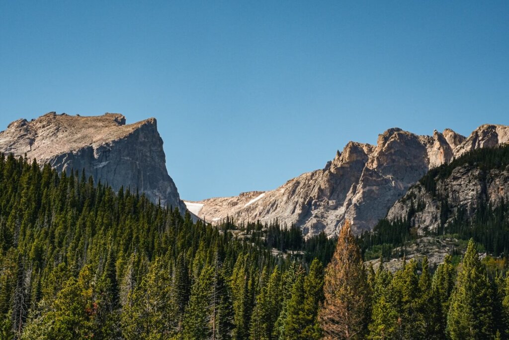
Between May and October, in addition to the RMNP day/annual pass you’ll also need to buy a timed entry to access the park. On the website there will be a general “timed entry option” and a “timed entry + Bear Lake Road Access” option.
If you want to hike at Bear Lake, Nymph Lake, Alberta Falls or Sprague Lake, then you need to buy the latter. This permit allows you to enter this corridor in 2-hour windows between 5 AM and 6 PM. The “timed entry” only option will allow you to access other parts of RMNP between 9AM and 2PM. However, if you arrive before or after the mentioned time intervals then you won’t need to buy a permit.
The permit is only an extra $2 on top of your RMNP entry pass. Permits are released on the 1st of the month at 8AM MST, one month prior to the dates of entry. They usually add additional permits each night at 7PM MST for the following day though. The early entries get booked up pretty fast, so keep that in mind when planning your road trip. It’s also important that you enter RMNP within the 2-hour window of your chosen time slot.
You can book and find more up-to-date information on the RMNP Timed Entry Permit page.
How to Get to and Get Around Rocky Mountain National Park
Hire Car
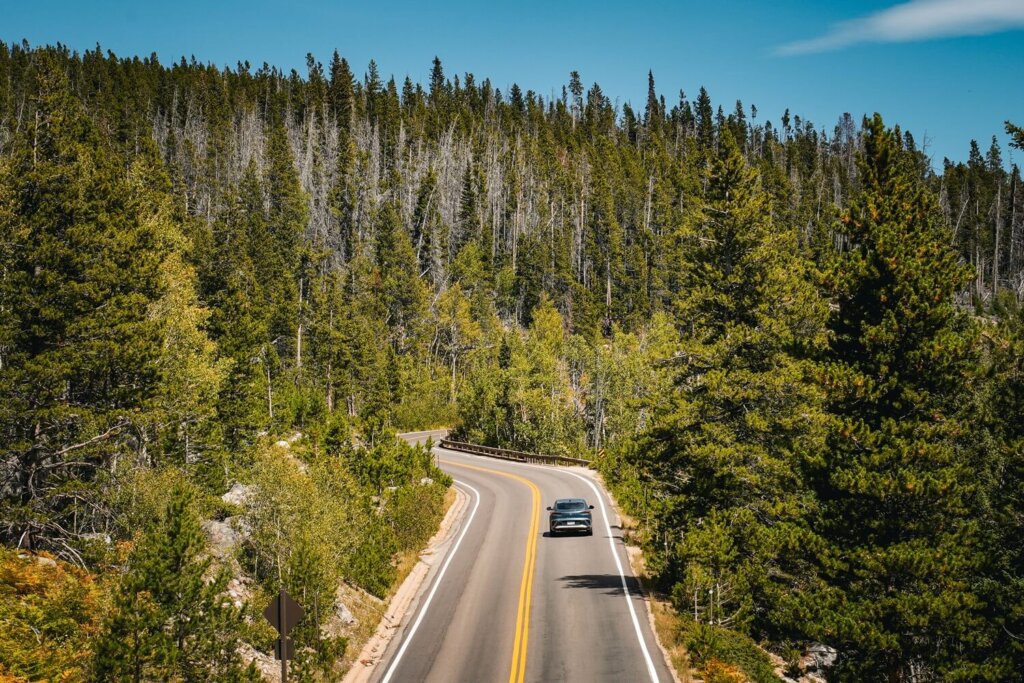
The easiest and most convenient way to get around RMNP is with a car. Having a rental car allowed us to get to Bear Lake for sunrise, hike the Emerald Lake Trail and then stop at Sprague Lake in the early afternoon. Plus, we could also drive Trail Ridge Road and Old Fall River Road on other days.
If you’re driving from Estes Park, you’ll want to enter at the Beaver Meadows Entrance to get to the Bear Lake Road Corridor. For driving Old Fall River Road, we suggest using the Fall River Entrance. If you’re arriving from Grand Lake, you’ll obviously use the Grand Lake Entrance Station.
There are usually decent sized car parks at the popular hiking trails, such as Bear Lake Trailhead. However, make sure to arrive early because they do tend to fill up quickly in the high season.
Hire your car using Discover Cars where you can find the best rates as they compare local, national, and international companies.
The Hiker Shuttle
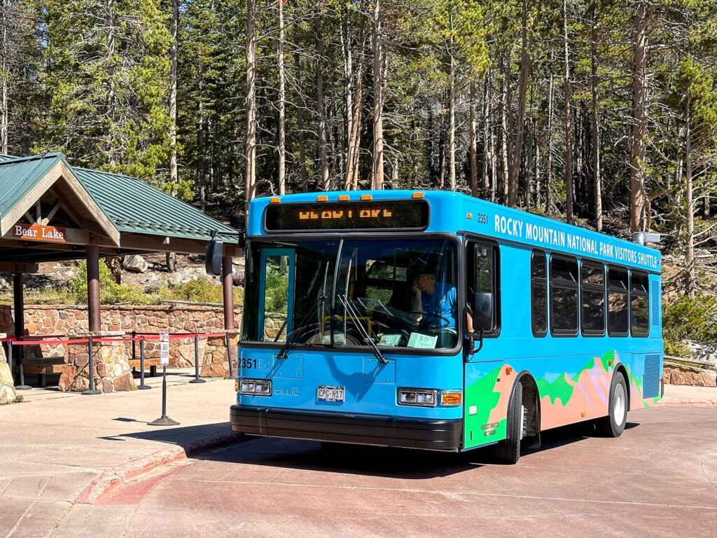
In case you don’t want to hire a car, you can still access a few of the above trails with the Hiker Shuttle. The shuttle provides a round trip service departing from the Estes Park Visitor Center. It’ll drop you off at the RMNP Park & Ride. From there, transfer onto either the Bear Lake Route or the Moraine Park Route, depending on which hiking trails you want to do. Check out the different routes and times on this map.
Also, don’t forget to reserve your Hiker Shuttle ticket online. There’s a $2 reservation fee per transaction. The reservation system is the same as the timed entry permit system and opens on the 1st of the month, one month prior to the dates of entry. Of course, a valid entry pass to the national park will also be needed in addition to the shuttle ticket.
Best Time to Hike in Rocky Mountain National Park
You can complete many of these easy hikes in Rocky Mountain National Park all year-round. However, note that Trail Ridge Road is only open to vehicles from the end of May until mid-October, and Old Fall River Road is only accessible by car between July and October. So, for those seeking a few easy trails, it’s best to visit RMNP between June and September. During winter, these two roads can only be used for snowshoeing or cross-country skiing.
In summer, the weather will most likely be nice and sunny. Of course, it’s also when the national park will be the most crowded, so be prepared to purchase your timed entry as soon as you know your travel dates and tickets become available.
In September, you may get the chance to see some colourful foliage. We visited in mid-September and the leaves were just starting to change. It’s also less busy, although the weather can be cooler and a bit more unpredictable. May and June will be similar to autumn, but you’ll be able to see everything starting to bloom.
In the winter months, you can still do many of the hikes in the Bear Lake Corridor. The lakes may be frozen, with snow capped mountains as a backdrop, which is fantastic for a winter wonderland experience. It’ll be much colder though and you’ll need to prepare for icy/snowy trail conditions, which could make these easy trails a little bit more difficult.

Altitude in Rocky Mountain National Park
The hiking trails we’ve listed above are all short and easy, but there’s another thing that they all have in common: high altitude. RMNP sits at elevations from 7,600 ft (2,316 m) at its lowest point to 14,259 ft (4,346 m) at its highest peak.
This means that even the shortest and easiest hike with negligible elevation gain can become slightly more challenging if you haven’t acclimitased properly. There are many symptoms of altitude sickness, including dehydration, dizziness, headaches, shortness of breath, heavy breathing, loss of appetite, nausea and vomiting. It’s good to remember that anyone can develop altitude sickness and its symptoms can be less or more severe depending on the person.
Although we were coming from New York City, we had done many high altitude hikes in Peru already, so knew what to expect. We spent a day around Estes Park first to get used to being at altitude again. Then, we started with the lower elevation hikes around the Bear Lake Corridor, before attempting some of the trails along Trail Ridge Road.
Facilities in RMNP
There are toilets at the visitor centres, entrance stations and at many car parks. In addition, there are usually many picnic tables at the trailheads and benches around the lakes. The most popular place that sells food and drinks is the Alpine Visitor Center and Trail Ridge Store. Therefore, we highly recommend packing enough food and drinks with you for the day.
Whatever you bring with you, make sure you either take it home with you or dispose of it responsibly. Enjoy your time in nature but Leave No Trace
Best Places to Stay in Estes Park
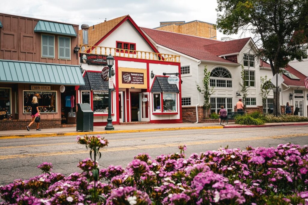
If you want to get to the national park early, we highly recommend staying in Estes Park. The town itself is beautiful and has its very own resident elk, who roam the streets freely. There are also plenty of food and shopping options in Estes Park, so it’s a fantastic place to base yourself if you want to do multiple hikes in Rocky Mountain National Park.
Hotels in Estes Park
Final Thoughts on Easy Hikes in Rocky Mountain National Park
Although we love a challenging hike, we also don’t mind completing shorter trails, especially if the reward is some spectacular views. Since we only had a few days to spend in Rocky Mountain National Park, going on these easier hikes meant that we could see more of the park than we would’ve done on a single, long day-hike. Plus, we hadn’t really been at high altitude for a while, so these easy hikes gave us a great chance to acclimatise.
Have you ever visited RMNP before? If so, what was your favourite short and easy hike? If not, which ones would you add to your itinerary? Let us know in the comments below.
Now, let your adventure begin,

Remember…It all starts with a Pin…




This is such a helpful guide. I like that you included shorter and easier hikes because not everyone wants to do the long treks. The photos are beautiful and make me want to plan a trip to Rocky Mountain National Park soon. Thanks for sharing!
Thank you so much for the lovely feedback. I hope you can visit RMNP in the near future and do some of these easy hikes in the park.
Short and easy is my kind of hie! Stunning photographs, and very attainable hikes.
Thank you Anja!