How to Visit Cajas National Park from Cuenca, Ecuador
One of the most popular day trips from the beautiful city of Cuenca is to Cajas National Park. Located just outside the city, the park is a hikers’ paradise, offering a variety of trails through stunning landscapes. We’ve put together this Cajas National Park hiking guide which includes useful information and tips on how to visit from Cuenca, what to pack, the best time to visit and what hiking trails are available.
If you’d like to see our Cajas National Park adventures, then check out our dedicated Cuenca video on our YouTube Channel. For more Ecuador videos check out our Ecuador Playlist.
Disclosure: This post may contain affiliate links, which means we may receive a small commission if you click a link and purchase something. Clicking these links won’t cost you anything, but it will help us to keep this site up and running! Learn more about our affiliate policy.
Introducing Cajas National Park
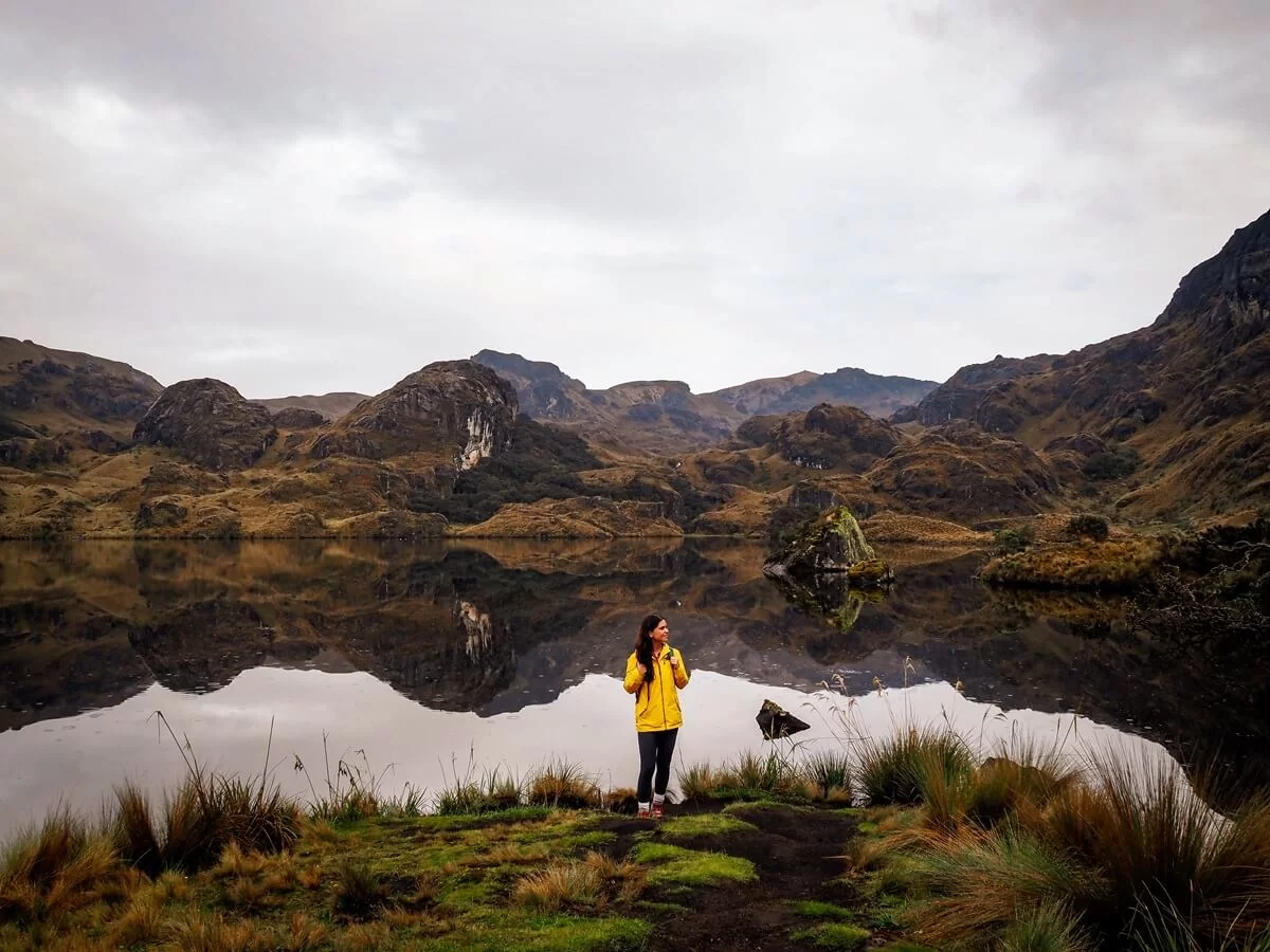
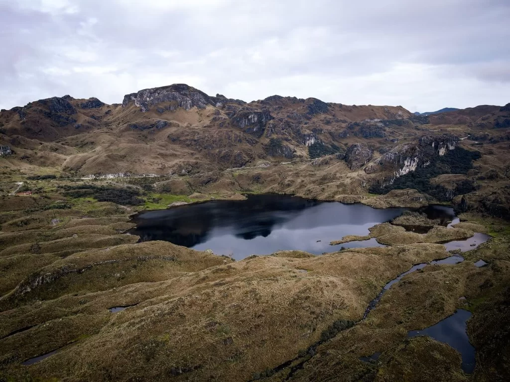
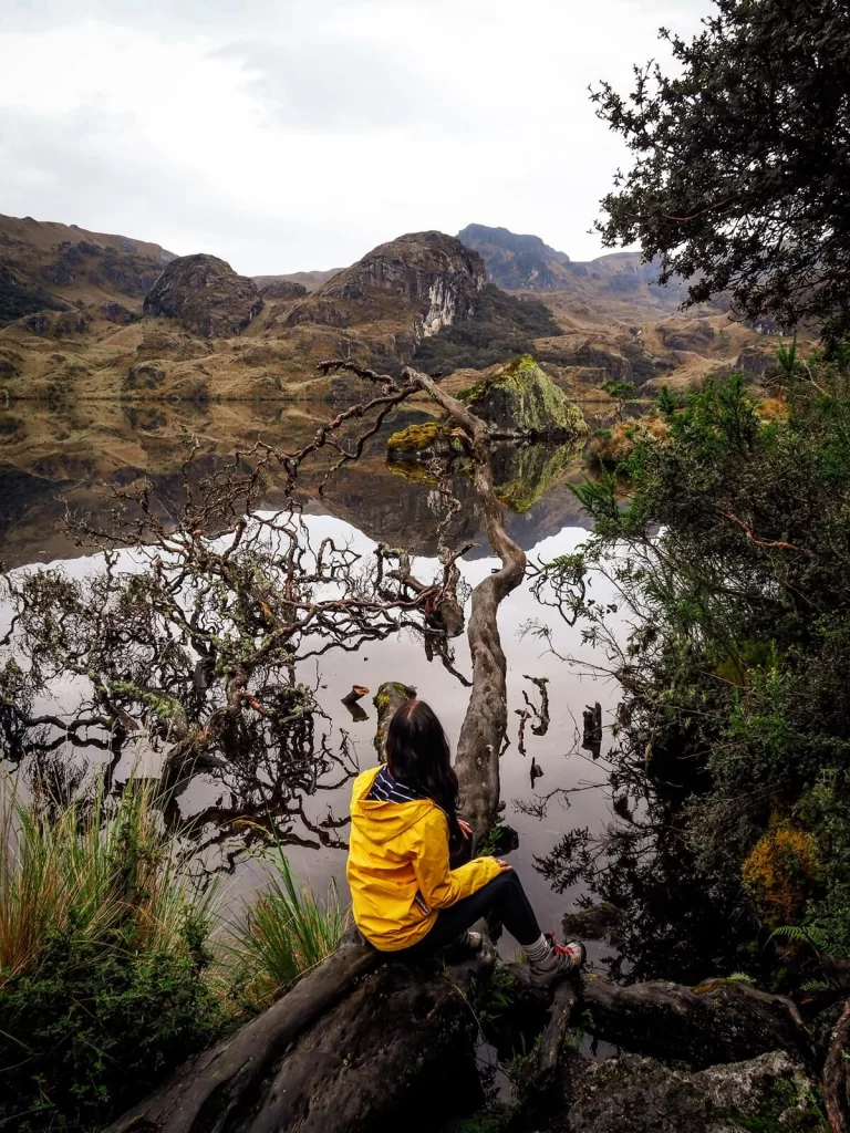
Located only about 30 km to the west of Cuenca, Cajas National Park (Parque Nacional El Cajas) is one of the most popular day-trips from the city. The more than 28,000 hectares of protected park is comprised of glacial valleys, lakes, lagoons, moors and forests. It’s been declared a National Park since 1996.
The park’s elevation ranges between around 3,100 and 4,460 m (10,200-14,600 ft) above sea level. At 4,458m (14,625 ft), Arquitectos peak is the highest point in the national park. Cajas has thousands of bodies of water, including lakes, lagoons, rivers and streams, which provide about 60% of the drinking water to the Cuenca area. Tomebamba and Yanuncay, two of Cuenca’s four rivers, originate from here before flowing into the Amazon River and on to the Atlantic Ocean. It’s also home to unique forests of polylepis trees, which are considered some of the highest growing trees in the world. We first saw these types of trees in Huaraz, Peru.
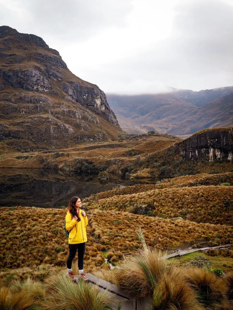
Cajas National Park looks very much like the Scottish Highlands, except for the fact that you might be a bit more out of breath here thanks to the altitude.
How to Get to Cajas National Park from Cuenca
Public Transport
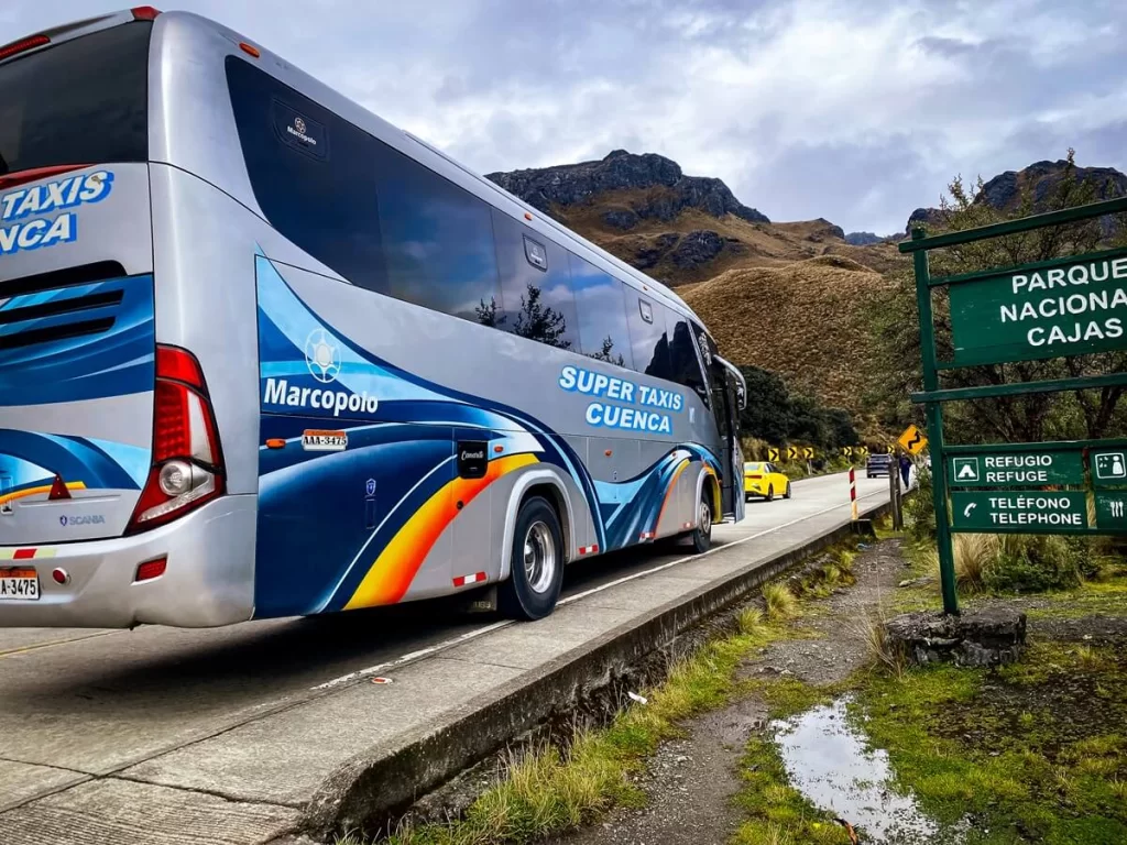
The most affordable way to reach Cajas National Park from Cuenca is by public bus. Buses depart from Terminal Terrestre, located just outside the city centre. You’ll need to get a bus that’s leaving for Guayaquil.
We went with a bus company called Super Taxis Cuenca. They had buses leaving for Guayaquil at 6:45AM, 7:10AM and 8AM. Their next services after these weren’t until the afternoon. We got the 7:10AM bus that allowed us to reach Cajas around the parks opening time. It’s worth checking out other bus companies that provide services to Guayaquil as well if you don’t want to arrive super early.
A one way bus ticket is around $3 USD. The bus journey time to Cajas National Park Visitor Centre is between 45 minutes to an hour. It’s good to mention to the bus driver that you’re heading to Cajas (Refugio Toreadora or Visitor Centre), so he’ll give you a shout when it’s time to get off the bus. The bus stop is right in front of the visitor centre. On your way back, just cross the road and flag down a bus to Cuenca at the bus stop.
Top Tip. If you want to use the map to follow where you are, make sure to either download offline maps or purchase an eSIM or local SIM to stay connected.
Private Transport
If you don’t want to rely on public buses, then you can consider renting a car for a day. In case renting a car isn’t an option for you, then you can get a taxi to the park from Cuenca. You would need to agree on a pick-up time with the driver though. Alternatively, you can always flag a bus down on your way back.
Whilst a taxi seems fast and comfortable, it’ll be way more expensive. Plus, you’ll still have a time-limit to do your hike whether you’re being picked up by a taxi or flagging down a bus. So overall it’s not going to be a much better option than taking the bus both ways in our opinion.
Tour
Lastly, you can also visit Cajas National Park with an organised tour. These are great if you don’t want to, or have the time to, plan your trip. Joining a tour is also a good way to meet with other outdoor enthusiasts. A guide will also be able to tell you more about the national park, including its flora and fauna.
Hiking in Cajas National Park
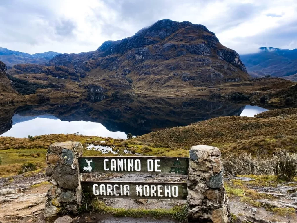
Cajas National Park is a huge place, which means that you’ll have plenty of different hiking trails to choose from. At the time of our visit, the visitor centre’s board had about 12 routes on it. In the dedicated national park app, called Parque Nacional Cajas, there’s now about 15 different trails ranging from less than a km to nearly 20 km in length.
Of course, the longer treks are supposed to be done across multiple days and would require you to camp in the park. However, most visitors only have time for a shorter hike which is no longer than 4-5 hours max.
It’s worth highlighting that some of the trailheads are located a bit further from Refugio Toreadora, which is the main visitor centre you’ll arrive to. This means that you’ll be required to walk along the main road for a bit to reach the trailheads. Make sure to be careful, as vehicles can travel pretty fast along this stretch of road.

Which Hiking Trail to Complete in Cajas National Park
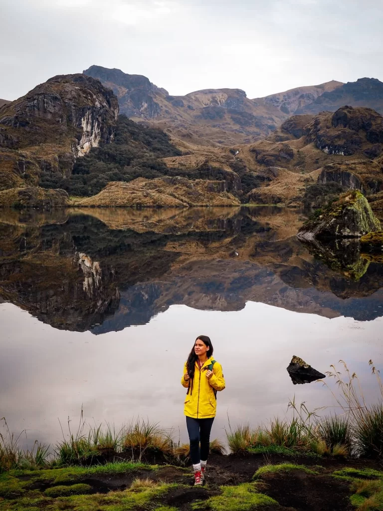
If you’re only here for a good few hours of hiking, then you should pick a trail that’s around 5-6 km or less. The other two factors to consider when choosing a trail is how intense you want your hike to be and how far you’re willing to walk from the main visitor centre to the trailhead.
Luckily, Route 1 starts from behind the refuge, so it’s a popular option for hikers. It is a 5.5 km long trail with an elevation gain of about 200m. You’ll be hiking just under 4,000 m (13,120 ft) for the most part, and the trail will take you along the shores of Toreadora Lake then through the St. Luis Forest of polylepis trees. You’ll get some fantastic views along the way and also pass other beautiful lakes such as Totoras and Patoquinuas.
If you’re after a bit of a challenge, the next closest route to the refuge is Route 2. In the app, this trail starts a bit further down the main road and then climbs San Luis peak (4,253 m / 13,953 ft). On AllTrails, you can join this trail from Toreadora Refuge without walking on the main road. This is definitely a more challenging trail at a higher altitude and with more elevation gain.
If you wish to hike slightly less, then you can just do a short loop around Toreadora Lake without walking along the main road.
Useful Information Before Visiting Cajas National Park
How to Avoid Altitude Sickness
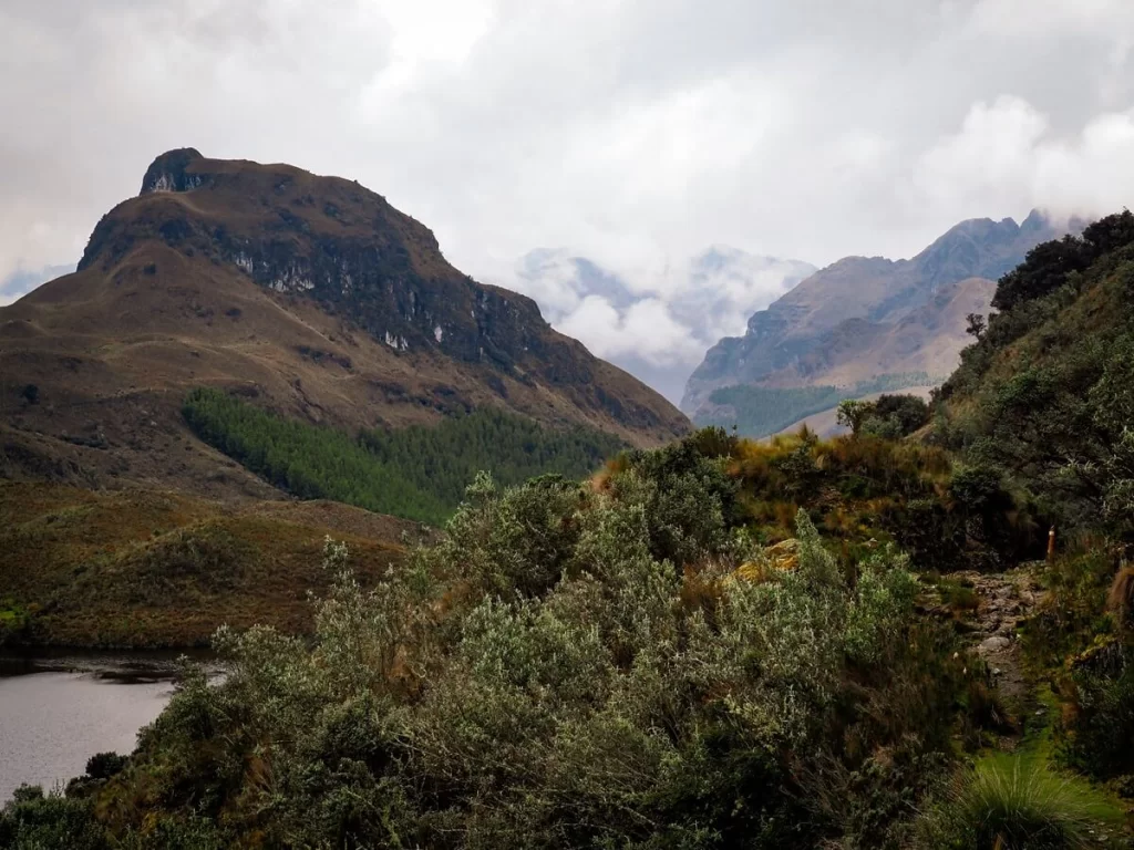
As mentioned at the start, Cajas National Park is situated between 3,100 and 4,460 m (10,200-14,600 ft) above sea level. Although you most likely won’t be hiking too much over 4,000 m (13,120 ft), that’s still pretty high. This also means that you can develop altitude sickness if you haven’t acclimatised before your visit.
There are many symptoms of altitude sickness, including dehydration, dizziness, headaches, shortness of breath, heavy breathing, loss of appetite, nausea and vomiting. It’s good to remember that anyone can develop altitude sickness and its symptoms can be less or more severe depending on the person.
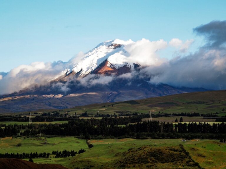
We recommend spending at least one day in Cuenca before taking a day trip to Cajas. The city is located at 2,560 m (8,500 ft) above sea level, which makes it a great place to acclimatise. However, if you’ve already visited places like Quito or Cotopaxi National Park, then you’ll most likely be absolutely fine.
Just make sure to stay hydrated during your hike to avoid dehydration and headaches. You can always buy some altitude sickness tablets in Cuenca to use if you need to.

Cajas National Park Opening Times, Entry Fees and Facilities
The national park is open every day from 8AM until 4:30PM. We recommend arriving earlier rather than later, for a few reasons. First of all, we noticed a sign which indicated that they were restricting the number of daily visitors into the park. Secondly, the weather also tends to be better in the mornings than in the afternoons. Lastly, you really want to allocate enough time for your hike.
There are multiple entry points to the national park but the most popular is the main visitor centre right next to Toreadora refuge. There are toilet, restaurant and also parking facilities here, if you’re arriving with a hire car.
There’s currently no admission to hike in the park, although you’ll have to pay a small fee ($4 USD) for overnight camping.
There’s also an app called ‘Parque Nacional Cajas’ that you can download before your visit. It has some information about the park along with a list of available hiking trails. It does show the trails, but we still recommend downloading Maps.me or AllTrails for a little more accuracy.
Registration and Park Rules
It’s important to highlight that you will need to register at one of the main entry points before you start hiking in the park. The most popular place for this is at the main visitor centre (Toreadora). You will be asked to show a valid ID as part of the registration process. This can be a passport, a national ID card or your driver’s license.
The ranger will tell you about all the different hiking trails that are open and accessible on the day of your visit. You don’t need a guide to hike in the park if you’re a group of less than 6. The popular trails are pretty well-marked and colour coded.
It’s also good practice to sign out when you leave the park.
Best Time to Visit Cajas National Park
You can visit Cajas National Park all year round, however there are slightly better and worse times of the year due to the two main seasons: rainy and dry. The rainiest time of year is March to April, whereas the driest is between June and September. During the drier months, the average daily temperature is around 15°C.
However, because of the better weather conditions, the park will be busier. Public holidays, such as Christmas and New Year’s, also bring in more people.
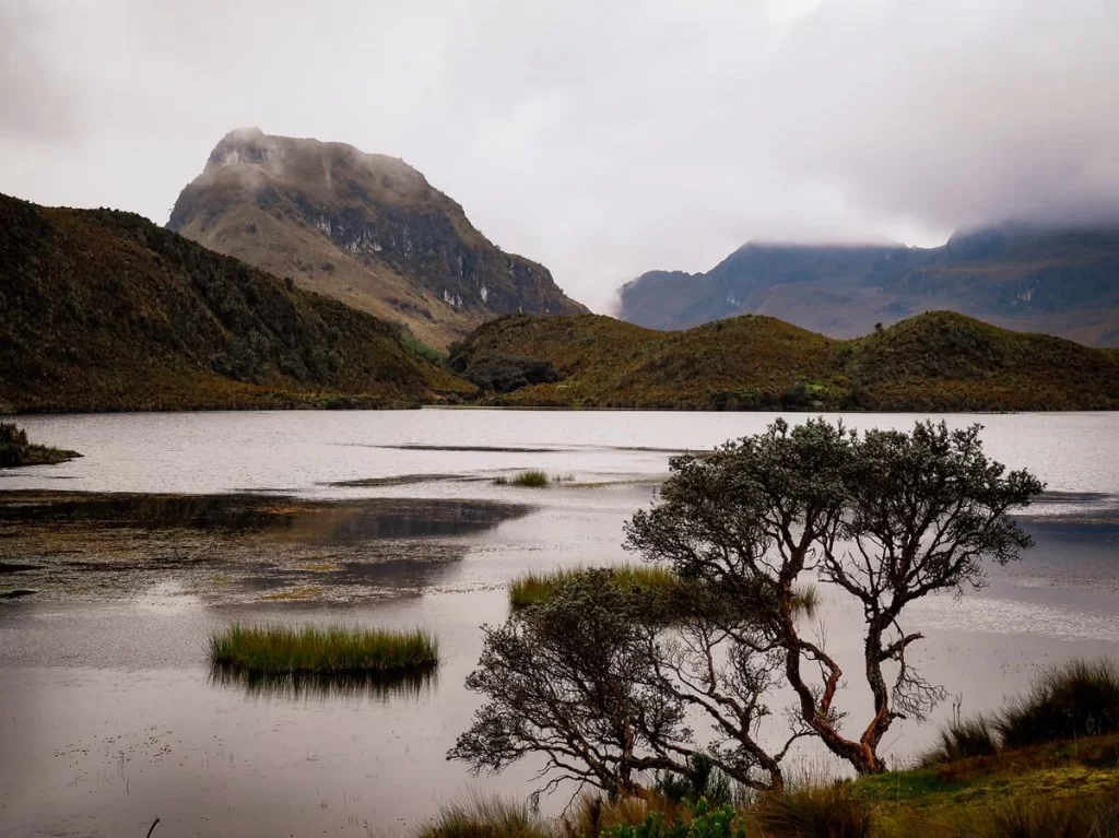
It’s also worth noting that just because it’s considered the ‘dry’ season, it doesn’t mean that it won’t rain. The weather in this area is very changeable, and you could easily experience all four seasons in one day. Generally speaking, Cajas is more likely to have clear conditions in the morning before the clouds roll in bringing thunder and thicker fog in the afternoon.

What to Wear and Bring With You
In terms of a hiking outfit, we recommend packing for cold temperatures. Depending on the time of year, you’ll likely need long trousers, a fleece, hat and gloves on this hike. The temperatures can change a lot during the day, so definitely wear layers. Make sure to also pack waterproofs like a rain jacket.
In terms of footwear, it’s important to wear hiking boots or shoes that have good grip and support.
In terms of accessories for the hike, we recommend taking a reusable water bottle, sun-cream, a hat or cap and sunglasses for protection. Especially if you’re visiting on a sunny day. You’re close to the equator so the solar radiation is pretty high.
We recommend bringing a packed lunch and enough snacks and drinks for your hike.
Make sure to have your ID card or passport with you in a waterproof case. You’ll need this when you register. It’s also good to have enough cash on you to pay for your bus fare.
Signal can be spotty in the park, so you can always download offline maps such as Maps.me, AllTrails or the Parque Nacional Cajas app.
Final Thoughts on a Visit to Cajas National Park in Cuenca
Without a doubt, hiking in Cajas National Park was our favourite day trip from Cuenca. It reminded us so much of the Scottish Highlands, which is one of our favourite places on Earth. Being only a short bus drive away from the busy city meant it was easy to escape the hustle and bustle, and it felt like we’d landed in the middle of nowhere. We cannot recommend a visit enough if you’re in Cuenca and love being in the outdoors.
Have you ever been to Cajas National Park in Ecuador? If so, what was your experience? If not, would you add a visit to the national park to your itinerary? Let us know in the comments below.
Now, let your adventure begin,

Our Top Travel Resources
Accommodation: For hotels we always use Booking.com and Hostelworld for hostels. We also book longer stays on Airbnb or Vrbo.
Flights: To find the best flight prices we always check Skyscanner, Google Flights or WayAway. Then we also check the airlines’ websites too for comparison.
Car Rentals: We use Discover Cars when we want to rent a car as it compares local, national and international companies.
Activities: If we book organised tours we always check either GetYourGuide or Viator.
Foreign Currency: Whenever we can we prefer to pay in local currency and for that we always use our Wise card. We can easily withdraw money from the ATM or pay by card at most shops and restaurants.
Travel Insurance: We never go anywhere without travel insurance. You never know what will happen on your trip, so good travel insurance like SafetyWing can protect you in case of injury, illness, theft and cancellations.
eSIM and VPN: To get data abroad we use Airalo which is an app that allows you to download a prepaid eSIM to your phone in over 190 countries. Make sure to have a VPN to avoid hackers accessing your personal data when using public WIFI. We use Surfshark which is the only VPN that offers one account on unlimited devices.
