
Los Condores and Las Aguilas Hike in El Chalten

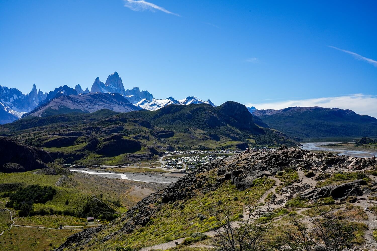
When you’re in El Chalten, you really won’t have trouble finding a good viewpoint for marveling at the impressive Mount Fitz Roy. Whilst most outdoor enthusiasts will go the extra mile (or six) to get to the base of Mount Fitz Roy, in reality there are some much less challenging trails that will reward you with panoramic views of the mountain. One of these is the Mirador de los Condores hike, a relatively easy 2.5 km (1.5 miles) out-and-back trail. This viewpoint is quite popular, so if you also want to enjoy some peace and quiet like we did, we suggest combining the Los Condores Viewpoint hike with Mirador de las Aguilas.
In this guide, we’ll tell you everything you need to know about this hiking trail, including its length, difficulty and other practical information such as entry fees.
If you’d like to see the hike, make sure to watch our Los Glaciares National Park video, which we shared on our YouTube channel Kitti and Jon. For more videos from the country, check out our Argentina playlist.
Disclosure: This post may contain affiliate links, which means we may receive a small commission if you click a link and purchase something. Clicking these links won’t cost you anything, but it will help us to keep this site up and running! Learn more about our affiliate policy.
About Los Condores and Las Aguilas Viewpoints in El Chalten
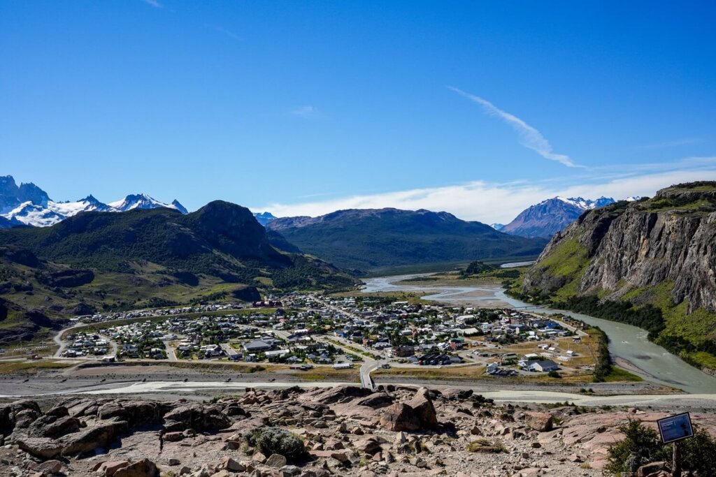
The viewpoints of Los Condores and Las Aguilas are located just to the south of El Chalten in the Los Glaciares National Park in Argentine Patagonia.
“Los Condores” means “condors” in English, referring to the Andean Condors that can be found in this region. They are actually the largest flying birds in the world and we were lucky enough to see many of them during our time in the Andes Mountains. “Las Aguilas” translates to “Eagles”, referring to the Black-chested Buzzard-Eagles. You can spot both of these birds gliding through this area frequently, so be on the lookout.
Map of the Los Condores and Las Aguilas Hiking Trail
Quick Hiking Trail Statistics:
- Trailhead: Los Condores Trailhead in El Chalten (400 m / 1,312 ft)
- Trail Length: 5.5 km / 3.4 miles (Circular)
- Elevation Gain: 226 m / 741 ft
- Level of Difficulty: Easy to Moderate (Fitness level dependent)
Trailhead, Length and Difficulty of the Los Condores and Las Aguilas Hike
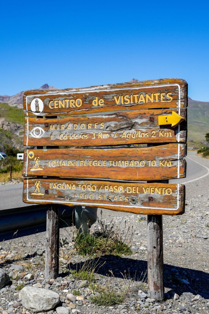
Trailhead. The hike starts from the Los Condores Trailhead south of El Chalten after crossing the Fitz Roy River. This is also where the much more challenging Loma del Pliegue Tumbado or Huemul Circuit hikes would start from.
Trail Length. If you’re only planning to get up to the Los Condores Viewpoint, it’s only going to be a 2.5 km (1.5 miles) out-and-back trail. However, if you feel like going all the way to Las Aguilas then the total loop will be 5.5km / 3. 4 miles long. Since the trailhead starts to the south of town, you’ll also have to add some additional walking between the trailhead and your accommodation. For reference, the length of El Chalten between the Mount Fitz Roy and Los Condores trailheads is over 2km.
We did the hike anti-clockwise, going to the Las Aguilas viewpoint first then to Los Condores. This way was probably less uphill walking overall.
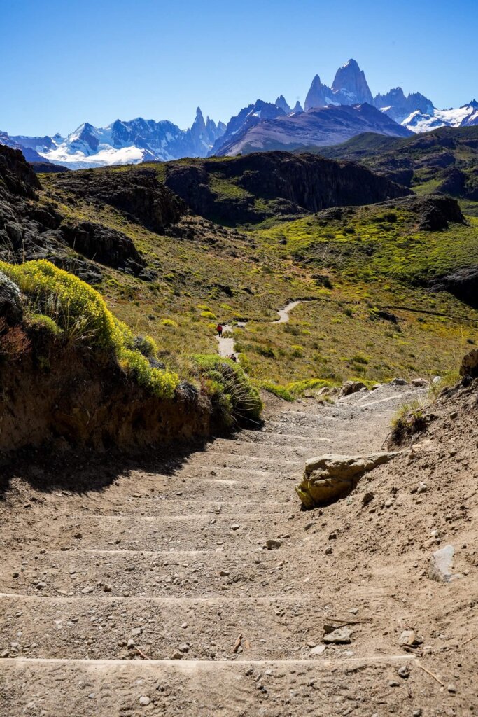
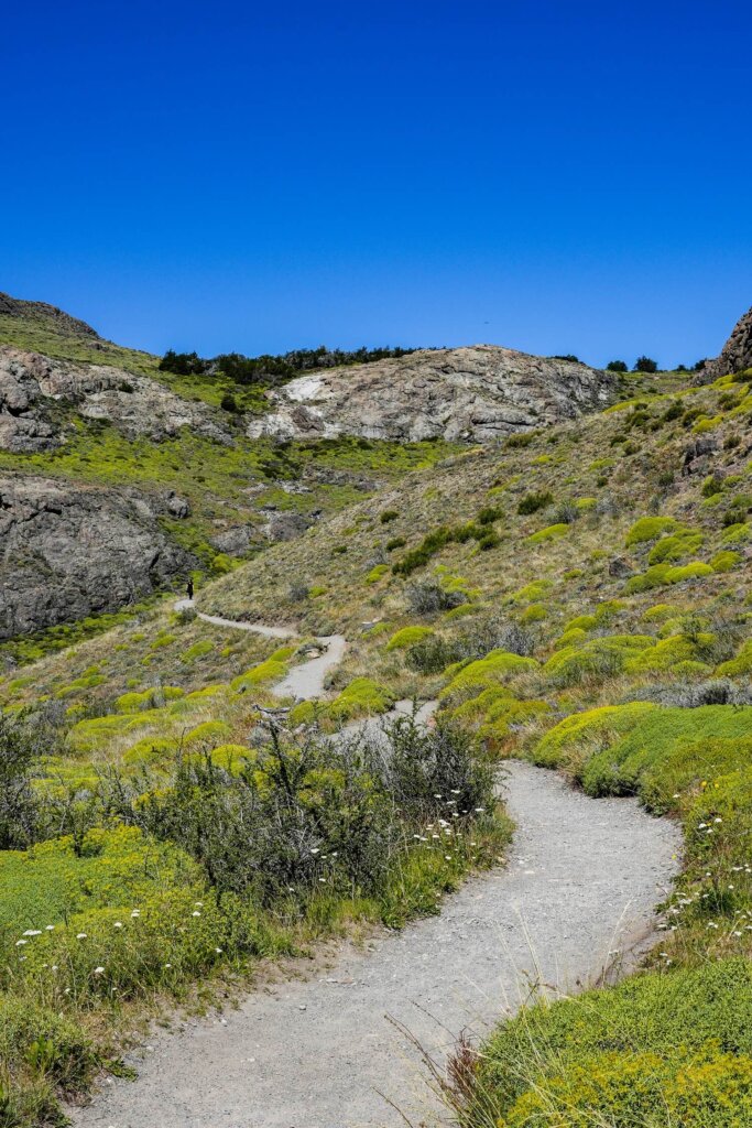
Elevation Gain and Trail Conditions. This hike has 226 m / 741 ft of elevation gain with the steepest section being from the town up to Mirador de los Condores. The rest of the trail will be flatter, with some gradual ups and downs. The footpath is generally in good condition, although it can be uneven and muddy after rainfall. It’s signposted and pretty easy to follow.
Los Condores and Las Aguilas Hike: Route Description
1. Trailhead to Mirador de las Aguilas
From our accommodation, we headed south of the town, passing the main bus terminal and following Ruta 41. We walked across the Fitz Roy Bridge and followed the road a bit further until we saw the sign for the trailhead and visitor centre.
After a few minutes, we got to the ticket booth where we had to show our national park pass. Just past the ticket control booth there was a fork from where the trail goes either right to Laguna Toro and Loma del Pliegue Tumbado or left to Mirador de los Condores.
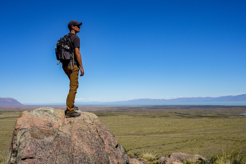
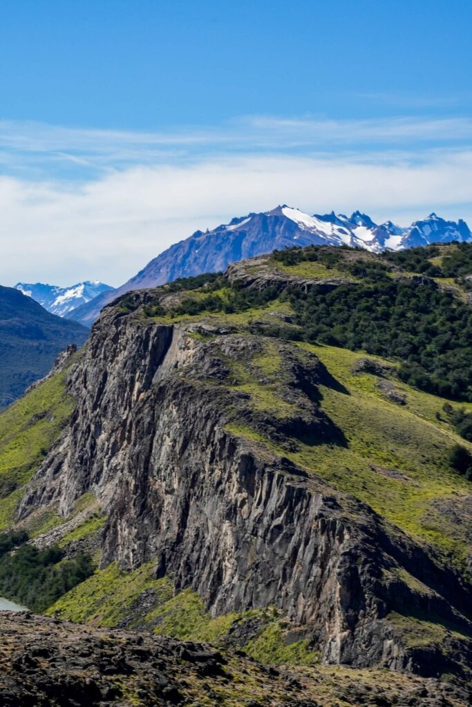
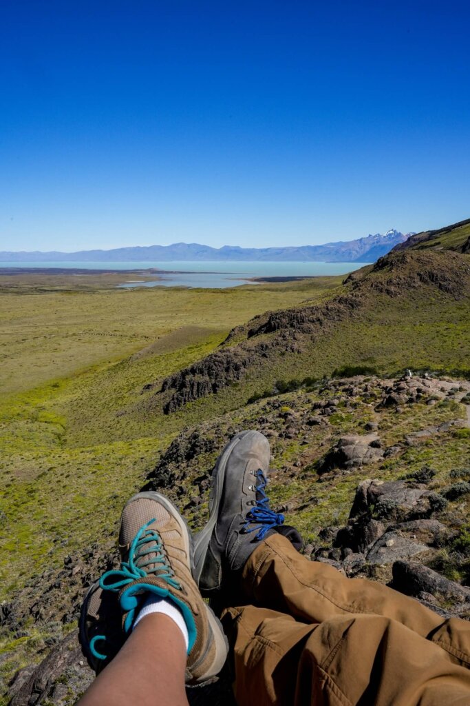
This first section of the hike was a pretty steep ascent until we got to the next split in the path. If you only want to go to Los Condores Viewpoint, then follow the path to the left. (You can still go to Las Aguilas from there too). We went right to Las Aguilas first, as it felt like there was slightly less ascent that way. The path just crossed the plateau, with Mount Fitz Roy behind us. It became gradually steeper until we reached Mirador de las Aguilas. We took a little break here and enjoyed the views of the massive Lago Viedma in the distance. Here we could also appreciate the crazy contrast between the Andes mountains behind us and the Patagonian steppe in front.
2. Mirador de las Aguilas to Mirador de los Condores
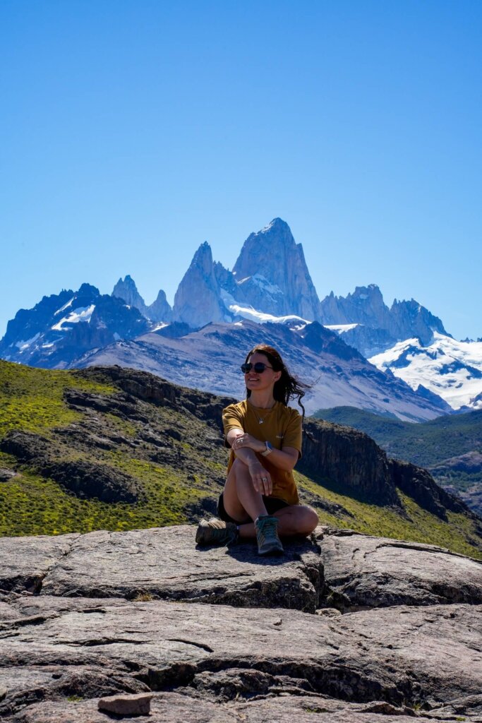
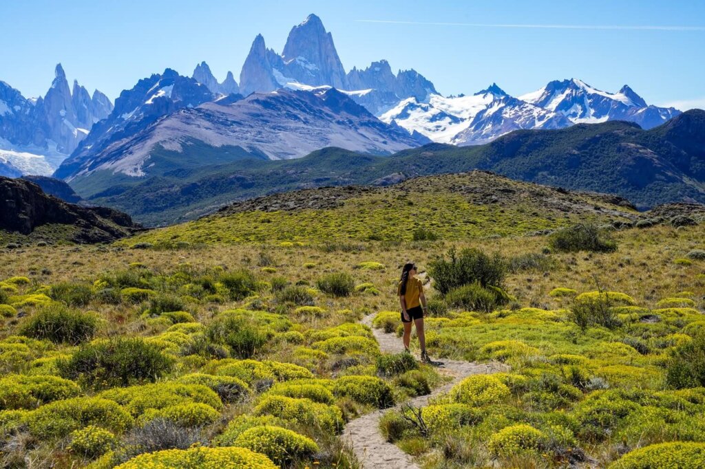
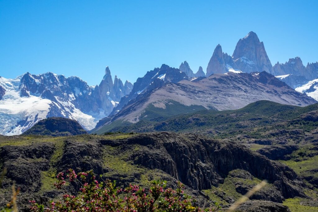
From Las Aguilas viewpoint, the path took us slightly higher onto some rocks and Mount Fitz Roy and its neighbours came into sight. The trail was a bit up and down, starting off with a steep descent and followed by a walk across the plateau. There were a few paths going off to our right, but we just followed the one we’d started on along plateau. This led us to just above Mirador de los Condores.
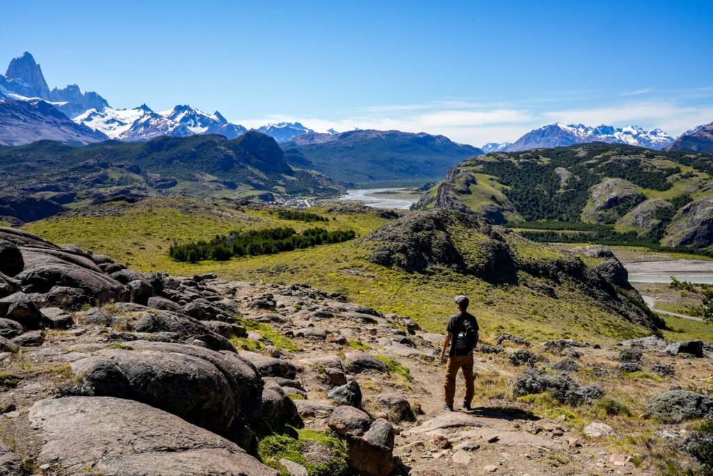
We had panoramic views of El Chalten in front of us, the confluence of the Fitz Roy and Las Vueltas Rivers and of course Mount Fitz Roy to our left. The official Condor Viewpoint is a massive rock outcropping further down. It gets its name because condors can often be spotted here and we were lucky enough to see two of them during our hike.
After enjoying the views for a bit, we followed the short path back to the Los Condores / Las Aguilas fork, then descended back down to El Chalten.
Practical Information About the Los Condores and Las Aguilas Hike
Entry Fee to Los Glaciares National Park
From 2024, all national parks across Argentina require an entry pass. Currently, the entry fee for foreign visitors to Los Glaciares National Park is $45,000 ARS per day. To save some pennies, there are options for a 3-day or 7-day flexipass. In addition, you can also buy an annual pass for $225,000ARS, which grants you access to all national parks for one year. This may work out cheaper if you’re spending a few months backpacking through Argentina.
You can purchase your entry pass via the official website, as well as see up-to-date prices and discounts.
This was actually the only time we were asked to show our national park pass. We had the 7-day Flexipass which covered our entire stay in El Chalten, although we still think that charging between $22,500 and $45,000ARS just to head up to a viewpoint is a bit excessive, especially if you’re not doing any other trails on the same day.
|
National Park Pass |
Daily Pass |
3-Day Flexipass |
7-Day Flexipass |
|---|---|---|---|
|
Cost (ARS) |
$45,000ARS |
$90,000ARS |
$157,500ARS |
Best Time to Hike to Los Condores and Las Aguilas
The best time of the year to hike to Los Condores and Las Aguilas is between November and March. This is essentially late spring, summer and early autumn in Argentina. During this timeframe, there’ll be more chances of dry, clear and warmer days with plenty of daylight hours. On the other hand, the summer is also the high tourist season in Patagonia, so expect the Condor Viewpoint to be more crowded.
For a great experience, you can hike up to watch the sunrise or the sunset from there.
What to Wear and Bring with You
Clothing and Footwear. Wear season-appropriate clothing and footwear. When we did this hike at the start of January, it was a warm and sunny day, although it was still a bit windy. Therefore, make sure to wear layers so you can adjust to the conditions. Depending on what you feel more comfortable in, wear either shorts or long trousers. We still suggest taking a fleece and / or a rain jacket. In terms of footwear, try to wear hiking boots or shoes with good grip, especially if you’re doing the full loop.
Food and Drinks. Take some water and some snacks with you, as both viewpoints are fantastic rest stops.
Additional Items. Also, make sure to have enough SPF on you, as you’ll be exposed the whole time and the sun can be pretty strong. Take a hat and sunglasses for extra protection as well. If you suffer from knee issues, take some hiking poles.
Where to Stay in El Chalten
The small town of El Chalten is going to be the perfect place to base yourself for a few nights. There are many hotels and hostels here, although expect higher prices per night than in El Calafate. This is because El Chaten is much smaller, so there are naturally less options and a lot of demand. We also recommend booking your stay as early as possible if you’re visiting in the high tourist season.
Top Tip. El Chalten is quite a long town. To put it into perspective, the distance between the Fitz Roy and the Condores Viewpoint trailheads is over 2 km. We personally still suggest booking your stay closer to the Fitz Roy trailhead. This hike is much longer, so walking less before and after it will be better than walking less after the Condores hike.
Recommended Hotel Stays in El Chalten
- Rancho Grande Hostel ($) – This hostel is a great budget option that also offers private rooms. They have a restaurant and are located close to the Fitz Roy trailhead.
- Posada y Cabañas El Barranco ($$) – This mid-range hotel is also closer to the Fitz Roy trailhead and includes breakfast, which is always a bonus.
- Fitz Roy Hostería de Montaña ($$) – Still pretty close to the Fitz Roy trailhead, this is another fantastic mid-range option with breakfast included.
- Destino Sur Hotel & Spa de Montaña ($$$) – This hotel offers great luxury to their guests, including spa facilities and mountain views. You can book in for a massage after all the hikes.
Final Thoughts on the Los Condores and Las Aguilas Hike in El Chalten
Although Mirador de los Condores is a very popular spot in El Chalten, combining it with the Las Aguilas Viewpoint made it feel less crowded. It was also a great “day-off” hike between the two more demanding Laguna de los Tres and Laguna Torre hikes. We really enjoyed the views looking out towards Viedma Lake, which reminded us just how flat most of Patagonia actually is. Plus, seeing two condors from the viewpoint was a lovely bonus.
Have you ever done this hike before? If so, let us know what your experience was like. If you found this blog post useful and want to show your support you can buy us a coffee here.
Now, let your adventure begin,

Remember…It all starts with a Pin…



High on my list to get to this region. Saving this for future travel planning. Thank you.
Thank you. I hope you can hike in Patagonia soon.